Login

Zapomniałeś swój login?

Cookies have to be accepted!
Your browser's cookie functionality is disabled. Please enable this functionality.

Not a member yet?

Register now
Login

Available for registred users only

Log in to use this feature.

Zapomniałeś swój login?

Cookies have to be accepted!
Your browser's cookie functionality is disabled. Please enable this functionality.

Not a member yet?

Register now
Filter
Kategorie
Advanced filters
  • Długość (km)
  • Wysokość
Zapisz filtr Reset filter

TrackRank

QRCode

Technical data

Długość8,2 km Wysokość0 m Way down0 m Czas trwania04:15 h:m Data13.05.2010
Oceny Author Krajobraz Czynnik zadowolenia Kondycja Technika

Statystyka

1144 Widoki Oceny 155 Downloads / Pliki do pobrania Przeciętnie
Rate
  • Karta trasy
  • Dojazd
  • Downloads / Pliki do pobrania

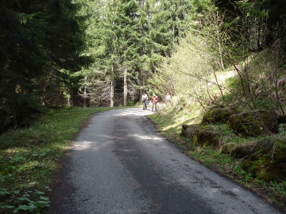
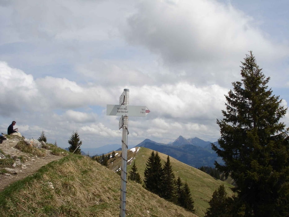
Vom Parkplatz zur Hirschalpe auf alter Fahrstraße zur Hirschalpe, dann auf Wanderweg zum Spieser.Dann Abstieg zur Hirschalpe über Grat, weiter über Fahrstraße zum Parkplatz.

Kann auch als Biketour bis Hirschalpe gut befahren werden!

Galeria trasy

Mapa trasy i profil wysokości

  • Open Street Map
  • Google
Minimum height 99999 m Maximum height -99999 m Widok szczegółowy

More about the tour author

slotty
Member since 2008

Send private message

Komentarze

A7 Richtung Füssen, Ausfahrt Pfronten, weiter Richtung Oberjoch, dann Passstraße hinab, vorbei an der "Kanzel", dann in Kurve den Parkplatz anfahren.

GPS tracks

Trackpoints
  • GPX / Garmin Map Source (gpx) download
  • TCX / Garmin Training Center® (tcx) download
  • CRS / Garmin Training Center® (crs) download
  • Google Earth (kml) download
  • G7ToWin (g7t) download
  • TTQV (trk) download
  • Overlay (ovl) download
  • Fugawi (txt) download
  • Kompass (DAV) Track (tk) download
  • Karta trasy (pdf) download
  • Original file of the author (gpx) download

More about the tour author

slotty
Member since 2008

Send private message
Share track
Add to my favorites
Remove from my favorites
Edit tags
My score
Rate
Trasa: Spieser
Rodzaj: Wędrówki
Długość: 8,2 km
Evaluated on:
Czas trwania:
Day(s)
Hour(s)
Minute(s)
Ocena: Krajobraz Czynnik zadowolenia Kondycja Technika