Login

Zapomniałeś swój login?

Cookies have to be accepted!
Your browser's cookie functionality is disabled. Please enable this functionality.

Not a member yet?

Register now
Login

Available for registred users only

Log in to use this feature.

Zapomniałeś swój login?

Cookies have to be accepted!
Your browser's cookie functionality is disabled. Please enable this functionality.

Not a member yet?

Register now
Filter
Kategorie
Advanced filters
  • Długość (km)
  • Wysokość
Zapisz filtr Reset filter

TrackRank

QRCode

Technical data

Długość406,4 km Wysokość1225 m Way down1833 m Czas trwania6 days 0 h Data13.05.2010
Oceny Author User Krajobraz Czynnik zadowolenia Kondycja Technika

Statystyka

414 Widoki Oceny 37 Downloads / Pliki do pobrania Przeciętnie
Rate
  • Karta trasy
  • Dojazd
  • Downloads / Pliki do pobrania

Wir sind die Tour im Juli 2009 gefahren. Die Strecke ist landschaftlich sehr schön und leicht zu fahren. Die Streckenbeschilderung ist bis auf wenige Ausnahmen gut.

1. Etappe von Winterberg nach Arnsberg - 70 km

2. Etappe von Arnsberg nach Wetter - 77 km

3. Etappe von Wetter nach Mülheim - 80 km

4. Etappe von Mülheim nach Düsseldorf - 70 km

5. Etappe von Düsseldorf nach Bonn - 93 km

6. Etappe von Bonn nach Köln (über Königswinter) - 62 km
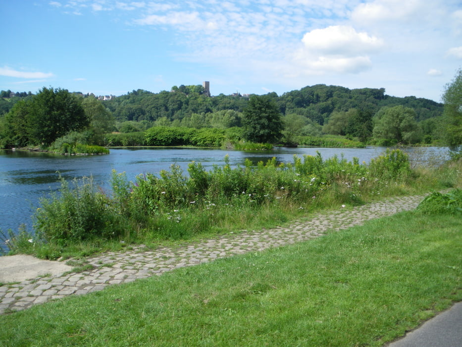
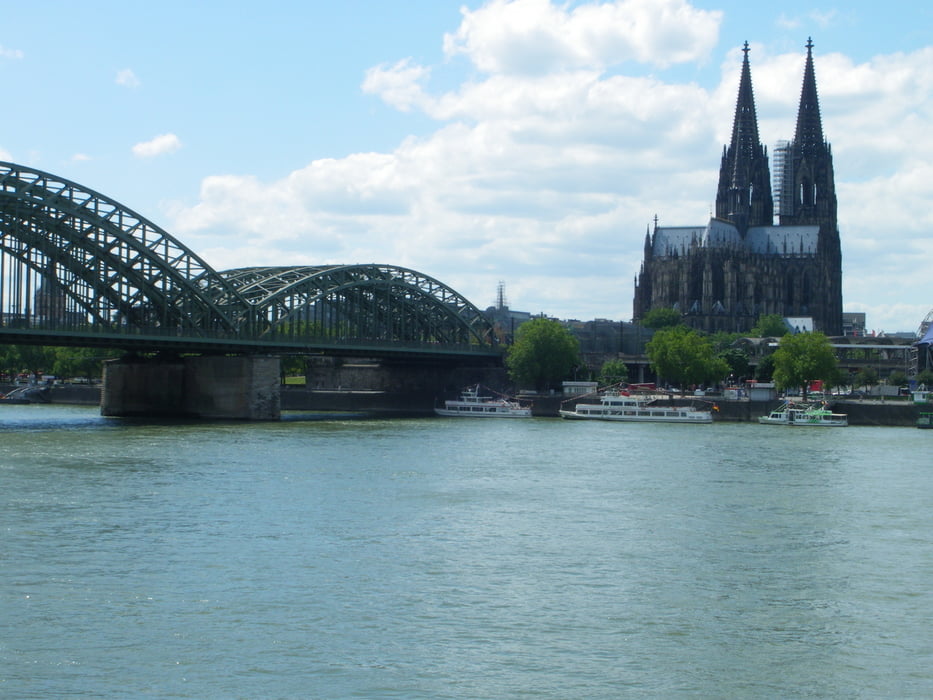
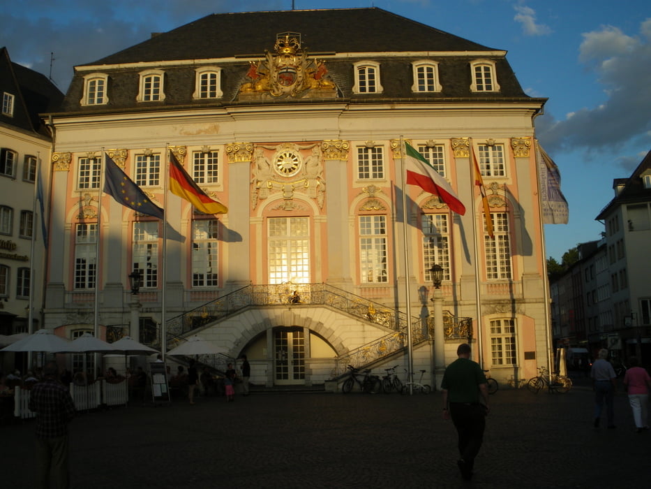
Galeria trasy

Mapa trasy i profil wysokości

  • Open Street Map
  • Google
Minimum height 20 m Maximum height 689 m Widok szczegółowy

More about the tour author

manni-mammut
Member since 2010

Send private message

Komentarze

GPS tracks

Trackpoints
  • GPX / Garmin Map Source (gpx) download
  • TCX / Garmin Training Center® (tcx) download
  • CRS / Garmin Training Center® (crs) download
  • Google Earth (kml) download
  • G7ToWin (g7t) download
  • TTQV (trk) download
  • Overlay (ovl) download
  • Fugawi (txt) download
  • Kompass (DAV) Track (tk) download
  • Karta trasy (pdf) download
  • Original file of the author (gpx) download

More about the tour author

manni-mammut
Member since 2010

Send private message
Share track
Add to my favorites
Remove from my favorites
Edit tags
My score
Rate
Trasa: Ruhr-Rhein 2009
Rodzaj: Trasy rowerowe
Długość: 406,4 km
Evaluated on:
Czas trwania:
Day(s)
Hour(s)
Minute(s)
Ocena: Krajobraz Czynnik zadowolenia Kondycja Technika