Login

Zapomniałeś swój login?

Cookies have to be accepted!
Your browser's cookie functionality is disabled. Please enable this functionality.

Not a member yet?

Register now
Login

Available for registred users only

Log in to use this feature.

Zapomniałeś swój login?

Cookies have to be accepted!
Your browser's cookie functionality is disabled. Please enable this functionality.

Not a member yet?

Register now
Filter
Kategorie
Advanced filters
  • Długość (km)
  • Wysokość
Zapisz filtr Reset filter

TrackRank

QRCode

Technical data

Długość28,6 km Wysokość155 m Way down249 m Czas trwania00:00 h:m Data13.05.2010
Oceny Author Krajobraz Czynnik zadowolenia Kondycja Technika

Statystyka

1775 Widoki Oceny 49 Downloads / Pliki do pobrania Przeciętnie
Rate
  • Karta trasy
  • Dojazd
  • Downloads / Pliki do pobrania


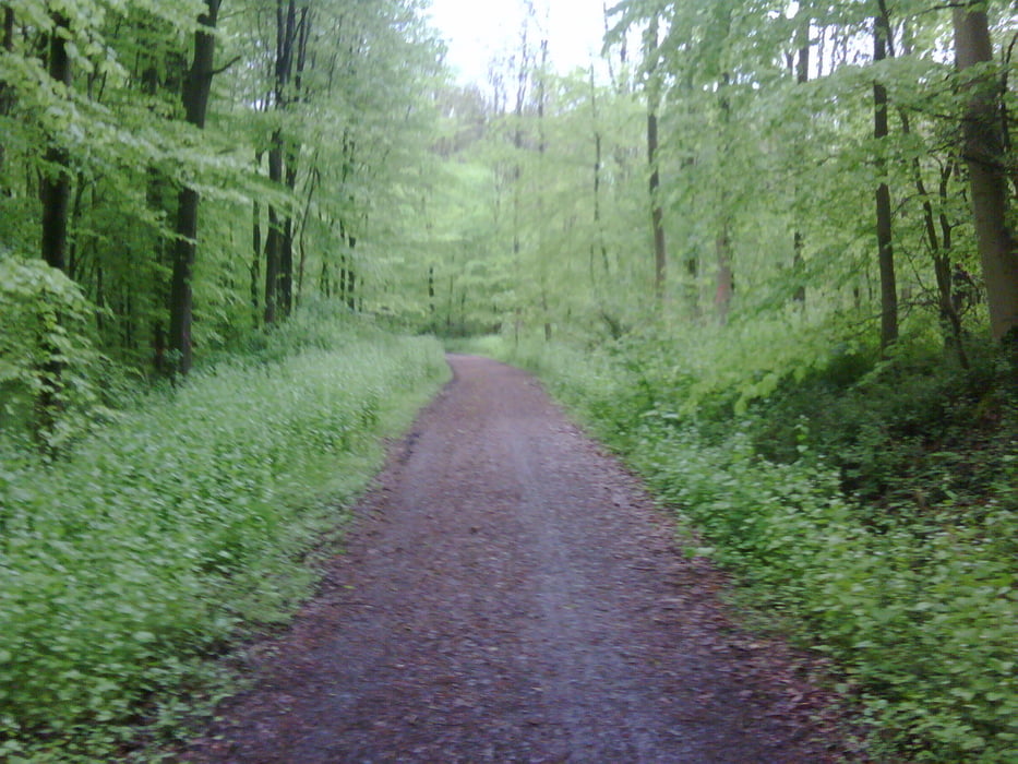
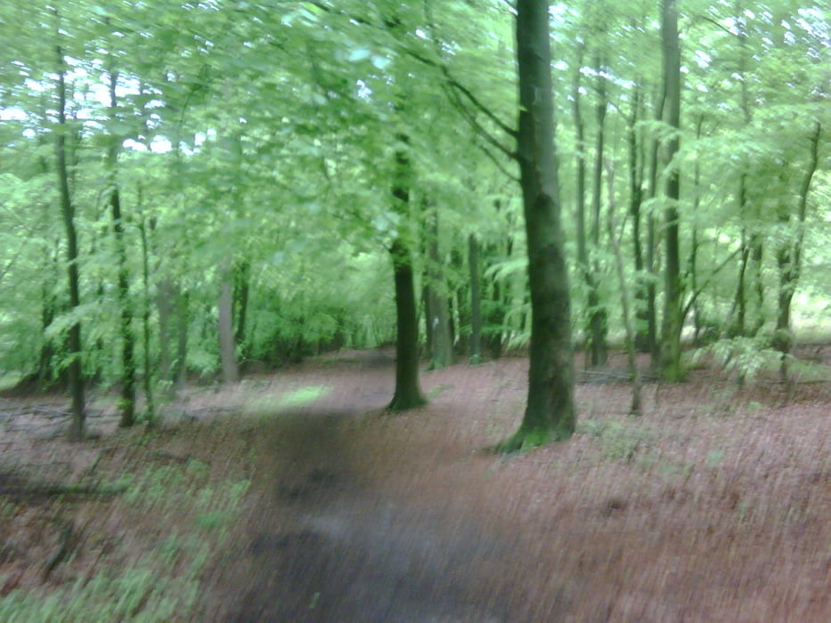
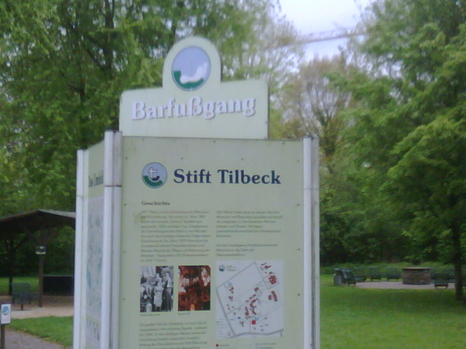
Sehr schöne - aber auch z.T. anpruchsvolle - Strecke nach Münster. Anfangs gehts durch viele Wälder mit einigen aber machbaren Steigungen - immer aber auf Fahrradwegen. Vorbei gehts am Stifts Tilbeck, mit einem sehr schönen Cafe. Die Strecke ist am besten bei trockenem Wetter zu fahren. Am Start in Billerbeck kann man am Bahnhof kostenlos parken.

Galeria trasy

Mapa trasy i profil wysokości

  • Open Street Map
  • Google
Minimum height 44 m Maximum height 191 m Widok szczegółowy

More about the tour author

Kalimero
Member since 2008

Send private message

Komentarze

Bahnhof BIllerbeck


GPS tracks

Trackpoints
  • GPX / Garmin Map Source (gpx) download
  • TCX / Garmin Training Center® (tcx) download
  • CRS / Garmin Training Center® (crs) download
  • Google Earth (kml) download
  • G7ToWin (g7t) download
  • TTQV (trk) download
  • Overlay (ovl) download
  • Fugawi (txt) download
  • Kompass (DAV) Track (tk) download
  • Karta trasy (pdf) download
  • Original file of the author (gpx) download

More about the tour author

Kalimero
Member since 2008

Send private message
Share track
Add to my favorites
Remove from my favorites
Edit tags
My score
Rate
Trasa: Von Billerbeck nach Münster einmal anders
Rodzaj: Trasy rowerowe
Długość: 28,6 km
Evaluated on:
Czas trwania:
Day(s)
Hour(s)
Minute(s)
Ocena: Krajobraz Czynnik zadowolenia Kondycja Technika