Login

Zapomniałeś swój login?

Cookies have to be accepted!
Your browser's cookie functionality is disabled. Please enable this functionality.

Not a member yet?

Register now
Login

Available for registred users only

Log in to use this feature.

Zapomniałeś swój login?

Cookies have to be accepted!
Your browser's cookie functionality is disabled. Please enable this functionality.

Not a member yet?

Register now
Filter
Kategorie
Advanced filters
  • Długość (km)
  • Wysokość
Zapisz filtr Reset filter

TrackRank

QRCode

Technical data

Długość364,1 km Wysokość901 m Way down901 m Czas trwania7 days 0 h Data14.05.2010
Oceny Author User Krajobraz Czynnik zadowolenia Kondycja Technika

Statystyka

613 Widoki 1 Ocena 139 Downloads / Pliki do pobrania 4.00 Przeciętnie
Rate
  • Karta trasy
  • Dojazd
  • Downloads / Pliki do pobrania

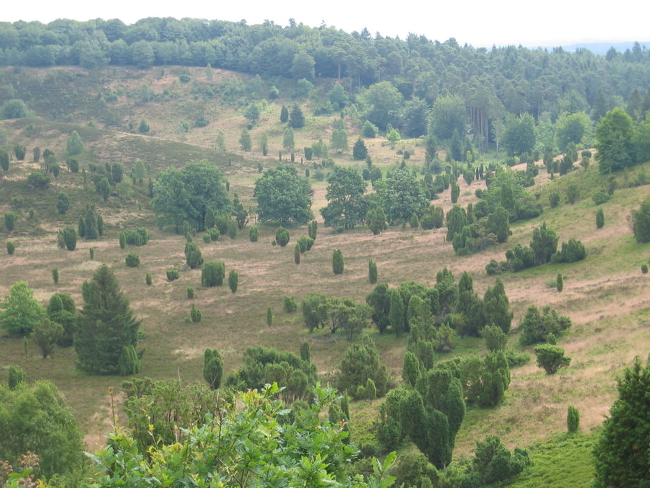
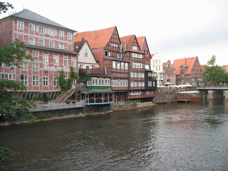
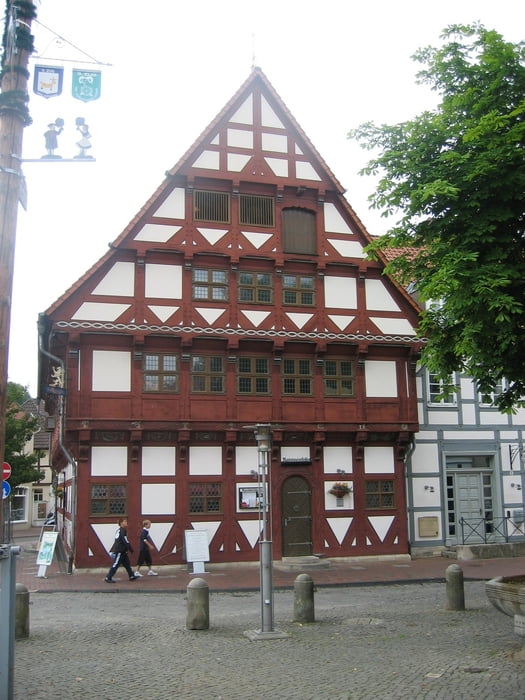
In 2008 fuhren wir diese landschaftlich schöne Strecke. Leicht befahrbar, jedoch teilweise auch auf unbefestigten Wegen. Start und Ziel war in Celle.

1. Etappe von Celle nach Hermannsburg - 59 km

2. Etappe von Hermannsburg nach Soltau - 47 km

3. Etappe von Soltau nach Undeloh - 57 km

4. Etappe von Undeloh nach Lüneburg - 48 km

5. Etappe von Lüneburg nach Uelzen - 47 km

6. Etappe von Uelzen nach Gifhorn - 73 km

7. Etappe von Gifhorn nach Celle - 45 km

Galeria trasy

Mapa trasy i profil wysokości

  • Open Street Map
  • Google
Minimum height 12 m Maximum height 140 m Widok szczegółowy

More about the tour author

manni-mammut
Member since 2010

Send private message

Komentarze

GPS tracks

Trackpoints
  • GPX / Garmin Map Source (gpx) download
  • TCX / Garmin Training Center® (tcx) download
  • CRS / Garmin Training Center® (crs) download
  • Google Earth (kml) download
  • G7ToWin (g7t) download
  • TTQV (trk) download
  • Overlay (ovl) download
  • Fugawi (txt) download
  • Kompass (DAV) Track (tk) download
  • Karta trasy (pdf) download
  • Original file of the author (gpx) download

More about the tour author

manni-mammut
Member since 2010

Send private message
Share track
Add to my favorites
Remove from my favorites
Edit tags
My score
Rate
Trasa: Lüneburger Heide 2008
Rodzaj: Trasy rowerowe
Długość: 364,1 km
Evaluated on:
Czas trwania:
Day(s)
Hour(s)
Minute(s)
Ocena: Krajobraz Czynnik zadowolenia Kondycja Technika