Login

Zapomniałeś swój login?

Cookies have to be accepted!
Your browser's cookie functionality is disabled. Please enable this functionality.

Not a member yet?

Register now
Login

Available for registred users only

Log in to use this feature.

Zapomniałeś swój login?

Cookies have to be accepted!
Your browser's cookie functionality is disabled. Please enable this functionality.

Not a member yet?

Register now
Filter
Kategorie
Advanced filters
  • Długość (km)
  • Wysokość
Zapisz filtr Reset filter

TrackRank

QRCode

Technical data

Długość413,4 km Wysokość2216 m Way down2351 m Czas trwania6 days 0 h Data14.05.2010
Oceny Author User Krajobraz Czynnik zadowolenia Kondycja Technika

Statystyka

621 Widoki Oceny 176 Downloads / Pliki do pobrania Przeciętnie
Rate
  • Karta trasy
  • Dojazd
  • Downloads / Pliki do pobrania

In 2007 gefahrene Radtour. Landschaftlich sehr schön. In 6 Tagen von Rothenburg o.T nach Passau. Sehr angenehm zu fahren.

1. Etappe von Rothenburg o.T. nach Gunzenhausen - 77 km

2. Etappe von Gunzenhausen nach Eichstätt - 74 km

3. Etappe von Eichstätt nach Riedenburg - 80 km

4. Etappe von Riedenburg nach Regensburg - 57 km

5. Etappe von Regensburg nach Deggendorf - 90 km

6. Etappe von Deggendorf nach Passau - 65 km
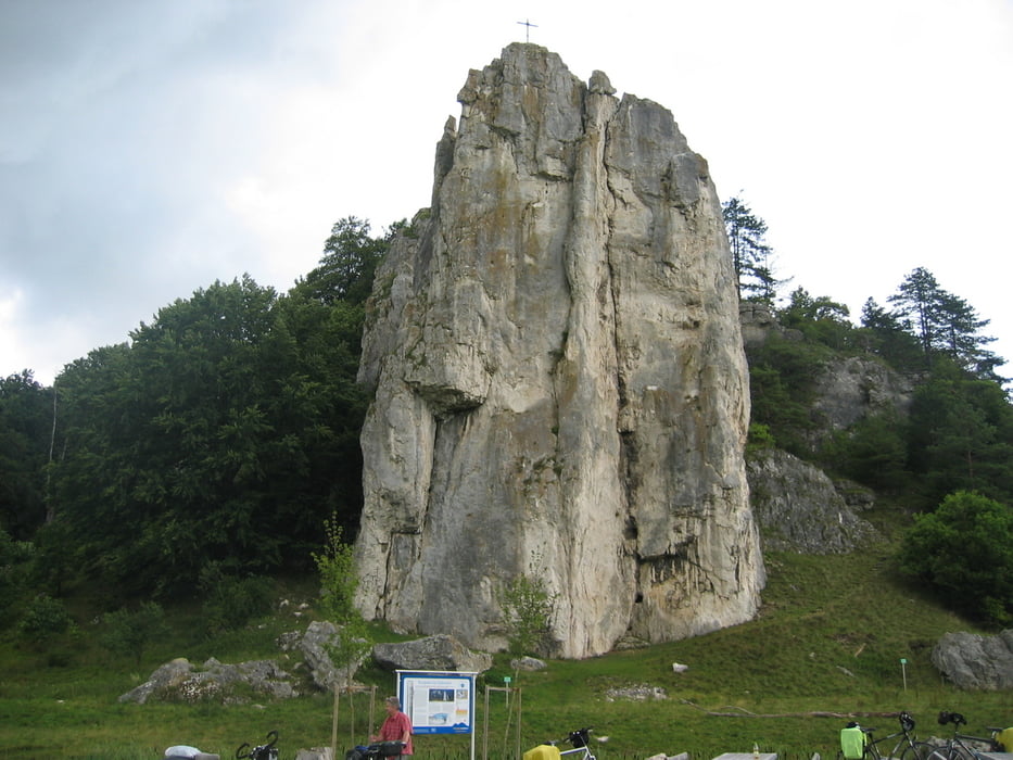
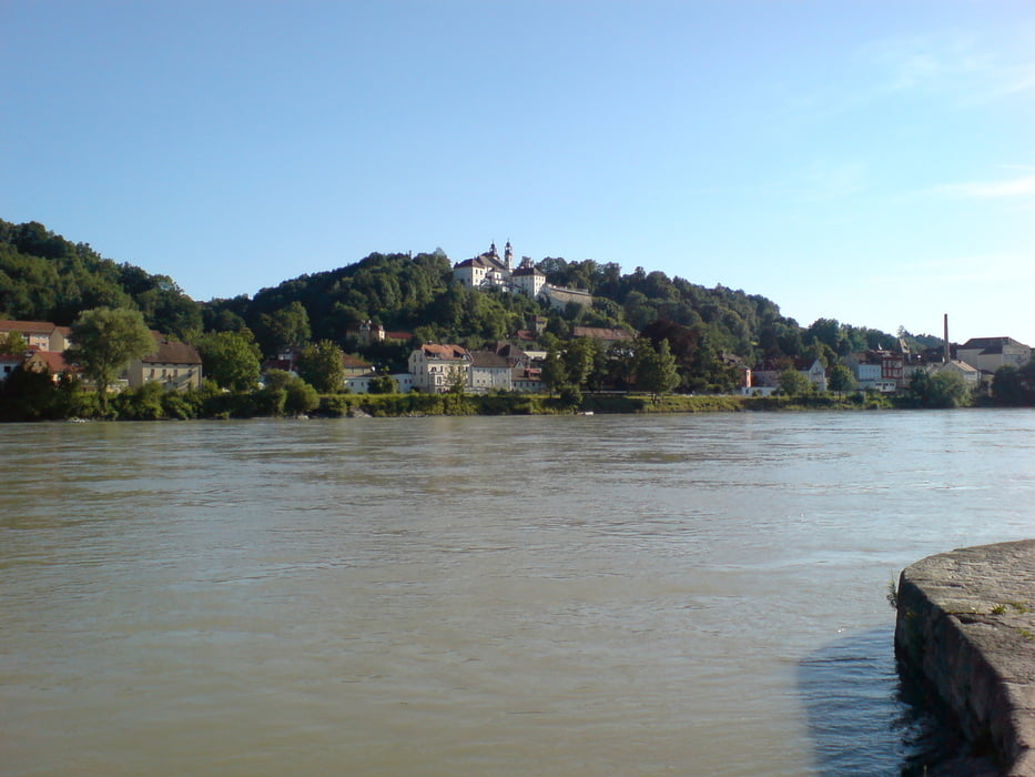
Galeria trasy

Mapa trasy i profil wysokości

  • Open Street Map
  • Google
Minimum height 294 m Maximum height 497 m Widok szczegółowy

More about the tour author

manni-mammut
Member since 2010

Send private message

Komentarze

GPS tracks

Trackpoints
  • GPX / Garmin Map Source (gpx) download
  • TCX / Garmin Training Center® (tcx) download
  • CRS / Garmin Training Center® (crs) download
  • Google Earth (kml) download
  • G7ToWin (g7t) download
  • TTQV (trk) download
  • Overlay (ovl) download
  • Fugawi (txt) download
  • Kompass (DAV) Track (tk) download
  • Karta trasy (pdf) download
  • Original file of the author (gpx) download

More about the tour author

manni-mammut
Member since 2010

Send private message
Share track
Add to my favorites
Remove from my favorites
Edit tags
My score
Rate
Trasa: Altmühl-Donau 2007
Rodzaj: Trasy rowerowe
Długość: 413,4 km
Evaluated on:
Czas trwania:
Day(s)
Hour(s)
Minute(s)
Ocena: Krajobraz Czynnik zadowolenia Kondycja Technika