Login

Zapomniałeś swój login?

Cookies have to be accepted!
Your browser's cookie functionality is disabled. Please enable this functionality.

Not a member yet?

Register now
Login

Available for registred users only

Log in to use this feature.

Zapomniałeś swój login?

Cookies have to be accepted!
Your browser's cookie functionality is disabled. Please enable this functionality.

Not a member yet?

Register now
Filter
Kategorie
Advanced filters
  • Długość (km)
  • Wysokość
Zapisz filtr Reset filter

TrackRank

QRCode

Technical data

Długość443,7 km Wysokość1485 m Way down1476 m Czas trwania7 days 0 h Data14.05.2010
Oceny Author User Krajobraz Czynnik zadowolenia Kondycja Technika

Statystyka

1383 Widoki Oceny 200 Downloads / Pliki do pobrania Przeciętnie
Rate
  • Karta trasy
  • Dojazd
  • Downloads / Pliki do pobrania

Diesen Rundkurs haben wir 2006 gefahren. Wir haben 7 Tage viel Spaß gehabt und schöne Landschaften gesehen. Empfehlenswerte Route, auch für jüngere leicht zu fahren.

1. Etappe von Plau nach Waren - 76 km

2. Etappe von Waren nach Wesenberg - 76 km

3. Etappe von Wesenberg nach Neubrandenburg - 66 km

4. Etappe von Neubrandenburg nach Stavenhagen - 90 km

5. Etappe von Stavenhagen nach Krakow am See - 72 km

6. Etappe von Krakow am See nach Malchow - 105 km

7. Etappe von Malchow nach Plau - 28 km
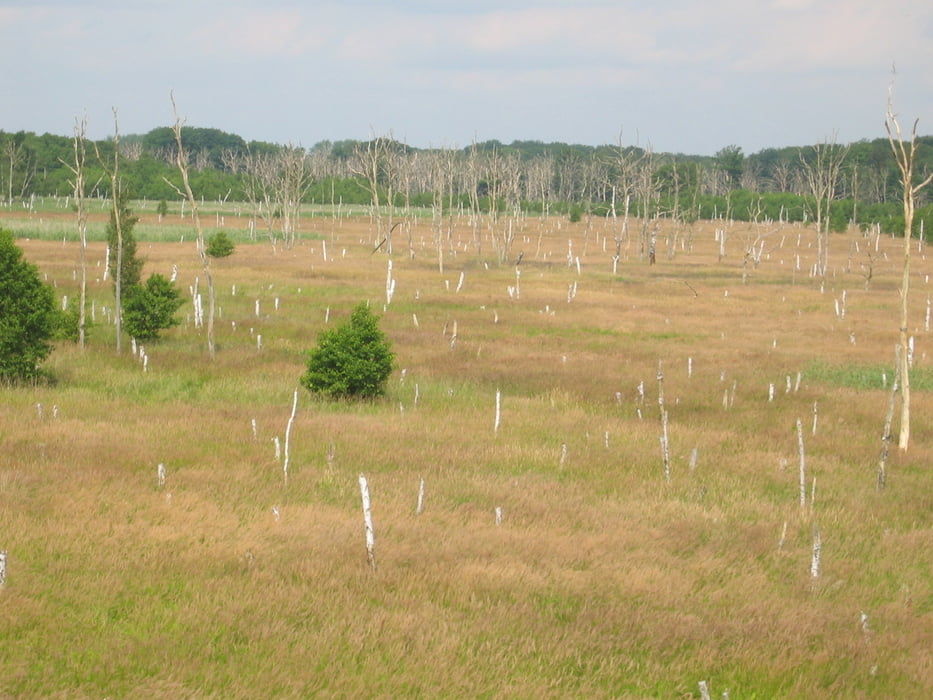
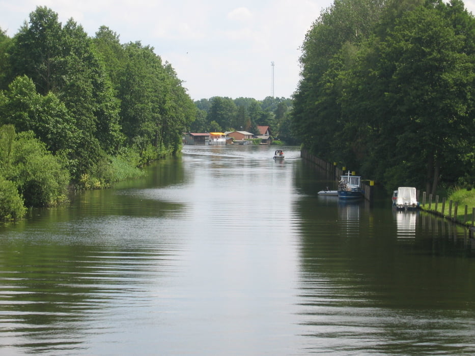
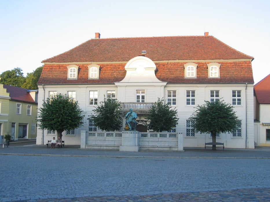
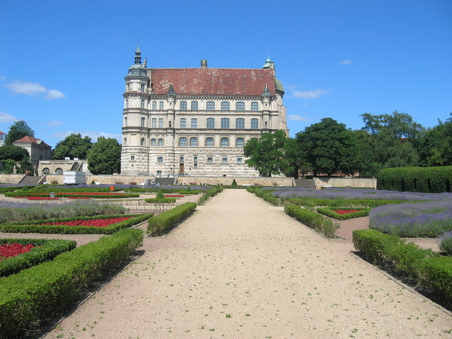
Galeria trasy

Mapa trasy i profil wysokości

  • Open Street Map
  • Google
Minimum height 2 m Maximum height 113 m Widok szczegółowy

More about the tour author

manni-mammut
Member since 2010

Send private message

Komentarze

GPS tracks

Trackpoints
  • GPX / Garmin Map Source (gpx) download
  • TCX / Garmin Training Center® (tcx) download
  • CRS / Garmin Training Center® (crs) download
  • Google Earth (kml) download
  • G7ToWin (g7t) download
  • TTQV (trk) download
  • Overlay (ovl) download
  • Fugawi (txt) download
  • Kompass (DAV) Track (tk) download
  • Karta trasy (pdf) download
  • Original file of the author (gpx) download

More about the tour author

manni-mammut
Member since 2010

Send private message
Share track
Add to my favorites
Remove from my favorites
Edit tags
My score
Rate
Trasa: Mecklenburger Seenplatte 2006
Rodzaj: Trasy rowerowe
Długość: 443,7 km
Evaluated on:
Czas trwania:
Day(s)
Hour(s)
Minute(s)
Ocena: Krajobraz Czynnik zadowolenia Kondycja Technika