Login

Zapomniałeś swój login?

Cookies have to be accepted!
Your browser's cookie functionality is disabled. Please enable this functionality.

Not a member yet?

Register now
Login

Available for registred users only

Log in to use this feature.

Zapomniałeś swój login?

Cookies have to be accepted!
Your browser's cookie functionality is disabled. Please enable this functionality.

Not a member yet?

Register now
Filter
Kategorie
Advanced filters
  • Długość (km)
  • Wysokość
Zapisz filtr Reset filter

TrackRank

QRCode

Technical data

Długość31,7 km Wysokość1198 m Way down1190 m Czas trwania04:00 h:m Data14.10.2006
Oceny Author Krajobraz Czynnik zadowolenia Kondycja Technika

Statystyka

3544 Widoki 2 Oceny 543 Downloads / Pliki do pobrania 4.50 Przeciętnie
Rate
  • Karta trasy
  • Dojazd
  • Downloads / Pliki do pobrania
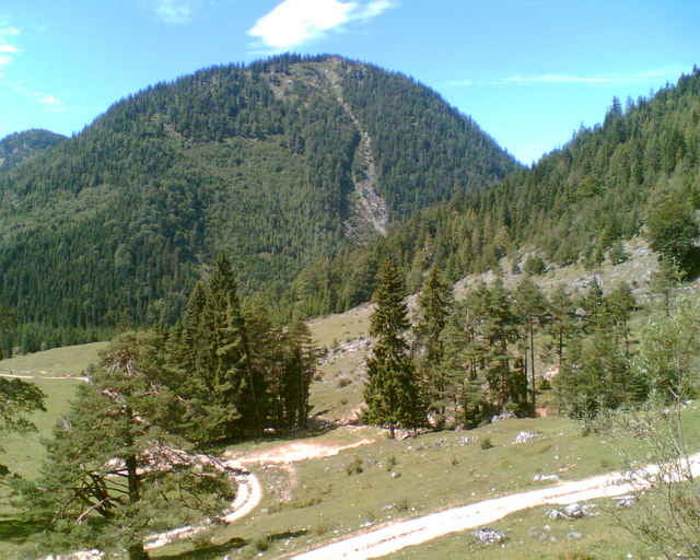
Sehr abwechslungsreich, einige steilere Anstiege, herrliche Talblicke und eine abschließende, sehr lange Abfahrt.

Galeria trasy

Mapa trasy i profil wysokości

  • Open Street Map
  • Google
Minimum height 666 m Maximum height 1470 m Widok szczegółowy

More about the tour author

OliverR
Member since 2006

Send private message

Komentarze

Flo on 30.06.2007

Falsche Moser Nr.

Es ist die Tour 29 aud den 1 Guide des sehr geehrten Herrn Moser! Schöne Tour!
Frank Döller on 11.07.2007

Moser hin Moser her

Die Tour ist auf jedenfall Supi, vor allem der kurze Trail.Grüße aus dem Flachland.
wdx on 05.08.2009

Super, falsche Höhenmeter

Traumtour ... hab die vor Jahren mal gemacht.
Sind aber knapp 1200hm und nicht 631 wie angegeben.
petermuc on 15.05.2015

Schöne Tour aber ...

Inzwischen stehen auf der Tour leider 3 x Bikeverbotsschilder :-(
Über A8, Ausfahrt Weyarn, Miesbach, Hausharn, Schliersee, Neuhaus nach Bayrischzell. Hier rechts nach "Landesgrenze, Kufstein, Thiersee" über den Pass nach Landl.

Die Tour beginnt am Gasthof Post (linke Straßenseite). Auf der gegenüberliegenden Straßenseite beginnt die Tour auf einer Teerstraße.

GPS tracks

Trackpoints
  • GPX / Garmin Map Source (gpx) download
  • TCX / Garmin Training Center® (tcx) download
  • CRS / Garmin Training Center® (crs) download
  • Google Earth (kml) download
  • G7ToWin (g7t) download
  • TTQV (trk) download
  • Overlay (ovl) download
  • Fugawi (txt) download
  • Kompass (DAV) Track (tk) download
  • Karta trasy (pdf) download
  • Original file of the author (gpx) download

More about the tour author

OliverR
Member since 2006

Send private message
Share track
Add to my favorites
Remove from my favorites
Edit tags
My score
Rate
Trasa: Von Landl zum Höhlensteinhaus
Rodzaj: Rower górski (MTB)
Długość: 31,7 km
Evaluated on:
Czas trwania:
Day(s)
Hour(s)
Minute(s)
Ocena: Krajobraz Czynnik zadowolenia Kondycja Technika