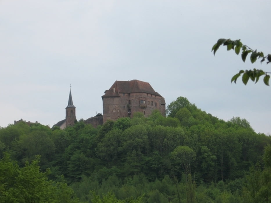
Petite Pierre bietet viele Wandermöglichkeiten.
Die beschrieben Tour verläuft im Westen des Ortes.
Start ist bei dem kleinen Campingplatz beim Eingang zum Imsthal unterhalb von Petite Pierre.
Mit dem roten Kreuz und der roten Raute wandern wir zu der schönen Buntsandsteinformation des Rocher des Paiens und weiter zum Chalet St. Hubert.
Über die Weckenmühle geht es auf dem GR 532 mit dem gelben Balken zum Rocher Blanc, einem Aussichtspunkt oberhalb von Petite Pierre.
Den alten Ortsteil erreicht man mit dem gelben Balken, dessen Besichtigung längere Zeit in Anspruch nimmt und sehr lohnend ist.
Der restliche Weg mit dem roten Balken führt steil hinunter ins Imsthal und eine Einkehr in die Auberge de Imsthal krönt diese schöne Wanderung.
Further information at
http://de.wikipedia.org/wiki/La_Petite-PierreGaleria trasy
Mapa trasy i profil wysokości
Komentarze

mit dem Auto nach Petite Pierre bei Saverne.
GPS tracks
Trackpoints-
GPX / Garmin Map Source (gpx) download
-
TCX / Garmin Training Center® (tcx) download
-
CRS / Garmin Training Center® (crs) download
-
Google Earth (kml) download
-
G7ToWin (g7t) download
-
TTQV (trk) download
-
Overlay (ovl) download
-
Fugawi (txt) download
-
Kompass (DAV) Track (tk) download
-
Karta trasy (pdf) download
-
Original file of the author (gpx) download


