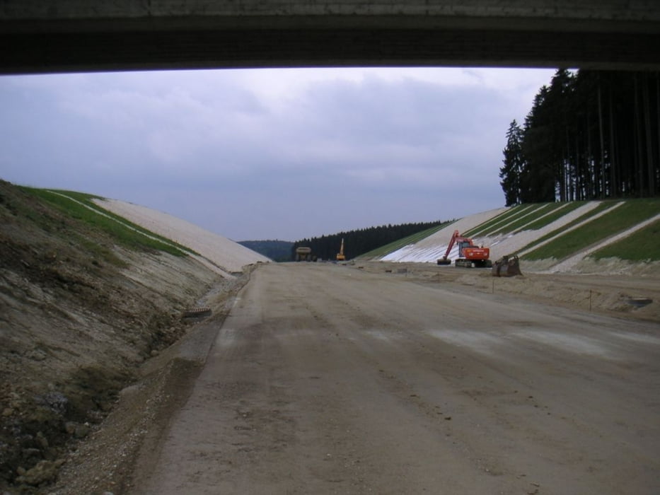
Bin die Strecke gefahren als es geregnet hat (zumindest zu großen Teilen). Technisch nicht besonders anspruchsvoll, ein paar Steigungen vielleicht für die Kondition. Der Teil auf der neuen Verbindung von A93 nach Schierling wird wohl nicht mehr sehr lange fahrbar sein.
Mapa trasy i profil wysokości
Minimum height 354 m
Maximum height 436 m
Komentarze

GPS tracks
Trackpoints-
GPX / Garmin Map Source (gpx) download
-
TCX / Garmin Training Center® (tcx) download
-
CRS / Garmin Training Center® (crs) download
-
Google Earth (kml) download
-
G7ToWin (g7t) download
-
TTQV (trk) download
-
Overlay (ovl) download
-
Fugawi (txt) download
-
Kompass (DAV) Track (tk) download
-
Karta trasy (pdf) download
-
Original file of the author (gpx) download
Add to my favorites
Remove from my favorites
Edit tags
Open track
My score
Rate

