


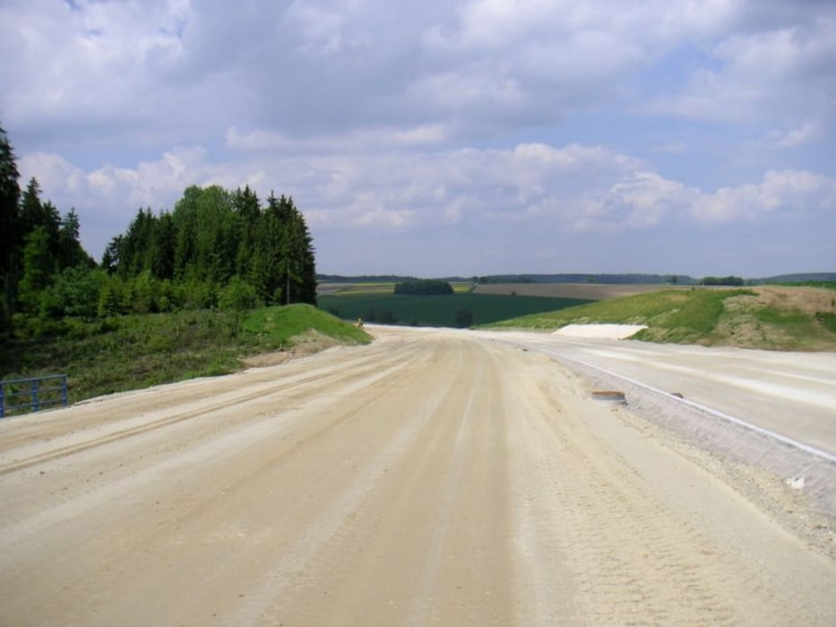
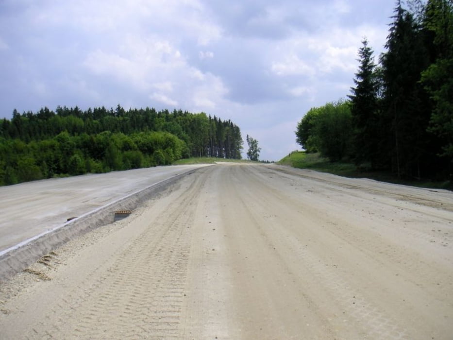
Zeitlich befristete Möglichkeit sich ein Bild davon zu machen wie sich der Neubau einer Autobahnzubringung in eine bislang ländliche Gegend integriert. Vermtl eine einmalige Gelegenheit, da es nicht aussieht als gäbe es einen Radweg entlang der Strecke den man später nutzen könnte.
Da die Strecke teilweise auf der neuen Straße verläuft ist sie nur befahrbar wenn keine Bauarbeiten stattfinden (Sonntag). Es wird aber nicht nur diese neue Straße befahren, sondern auch als Kontrastprogramm nahegelegene, schöne Wege in der Gegend.
Der Weg ist auch für Trekkingräder geeignet. Ich habe darauf geachtet, dass möglichst wenige Höhenmeter gefahren werden müssen.
Galeria trasy
Mapa trasy i profil wysokości
Minimum height 348 m
Maximum height 417 m
More about the tour author
|
|
Herzblut |
Komentarze

Man kann anstelle von Thalmassing auch in Dünzling starten, so spart mach sich nochmals ein paar Kilometer.
GPS tracks
Trackpoints-
GPX / Garmin Map Source (gpx) download
-
TCX / Garmin Training Center® (tcx) download
-
CRS / Garmin Training Center® (crs) download
-
Google Earth (kml) download
-
G7ToWin (g7t) download
-
TTQV (trk) download
-
Overlay (ovl) download
-
Fugawi (txt) download
-
Kompass (DAV) Track (tk) download
-
Karta trasy (pdf) download
-
Original file of the author (gpx) download
More about the tour author
|
|
Herzblut |
Add to my favorites
Remove from my favorites
Edit tags
Open track
My score
Rate