

Ausgangspunkt Berndorf Bahnhof - Auf dem Hals - Kreuth - Stromenau - Furt a.d.Triesting - Hocheck - Stromeau - Weissenbach - Pottenstein - Berndorf
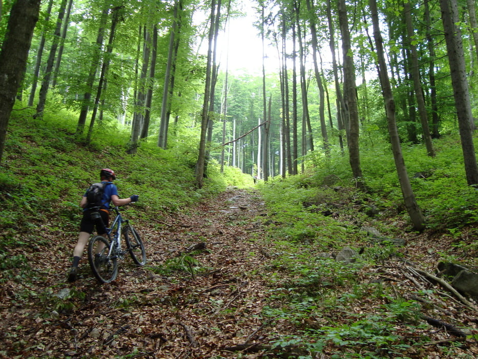
Galeria trasy


Mapa trasy i profil wysokości
Minimum height 307 m
Maximum height 1031 m
More about the tour author
|
|
pillow_62 |
Komentarze
GPS tracks
Trackpoints-
GPX / Garmin Map Source (gpx) download
-
TCX / Garmin Training Center® (tcx) download
-
CRS / Garmin Training Center® (crs) download
-
Google Earth (kml) download
-
G7ToWin (g7t) download
-
TTQV (trk) download
-
Overlay (ovl) download
-
Fugawi (txt) download
-
Kompass (DAV) Track (tk) download
-
Karta trasy (pdf) download
-
Original file of the author (gpx) download
More about the tour author
|
|
pillow_62 |
Add to my favorites
Remove from my favorites
Edit tags
Open track
My score
Rate
Rutenauswahl
Ich habe mit Spannung deine Tour Steinwandkamm - Hochech studiert und mich über eine Tour direkt vor unserer Haustür gefreut. Leider entsprach sie nicht meinen Erwartungen.
Von Berndorf auf das Waxeneck muss man nicht unbedingt die absolut unfahrbare Strecke über Pöllau wählen - es gibt fantastische Alternativen.
Und ab Schrommenau ist man wahrscheinlich besser mit eienm Rennrad unterwegs - ich bin leider kein Freund von öffentlichen Asphaltstraßen.
Vom Hocheck gibt es auch wunderbare Abfahrten Richtung Eberbach und man muss die Asphaltstrecke nicht wieder zurückfahren.
L.G. Christian