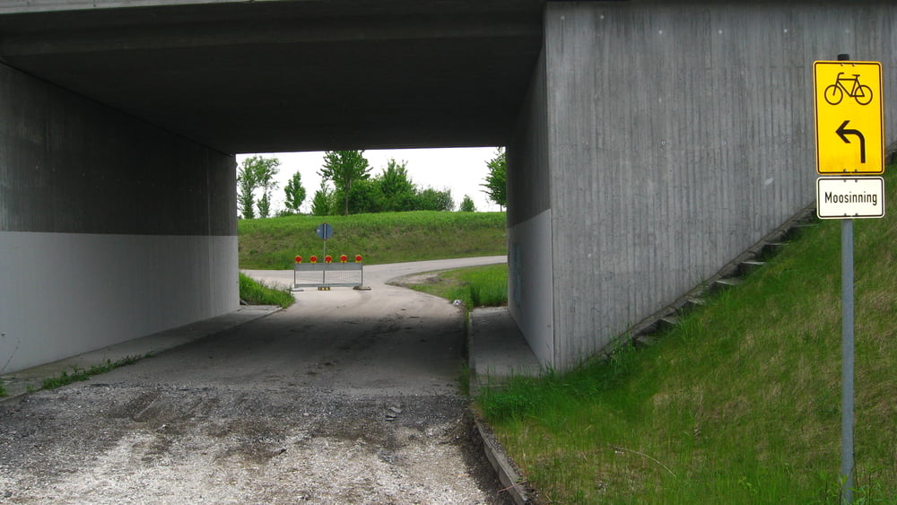
Eine sehr schöne Tour, aber nicht leicht als ein Stück zu fahren. Unendliche Felder, schöne Landschaften. Fahrradwege und sehr wenig befahrene Strassen. Strassen Belag ist fast überall gut.
Zurzeit gibt es ein Problem – die Brücke nach Fischerhäuser ist abgerissen, eine neue wird gebaut. Ich habe hier einfach zu fuß die Schienen überquert.
Galeria trasy
Mapa trasy i profil wysokości
Minimum height 447 m
Maximum height 500 m
Komentarze

GPS tracks
Trackpoints-
GPX / Garmin Map Source (gpx) download
-
TCX / Garmin Training Center® (tcx) download
-
CRS / Garmin Training Center® (crs) download
-
Google Earth (kml) download
-
G7ToWin (g7t) download
-
TTQV (trk) download
-
Overlay (ovl) download
-
Fugawi (txt) download
-
Kompass (DAV) Track (tk) download
-
Karta trasy (pdf) download
-
Original file of the author (gpx) download
Add to my favorites
Remove from my favorites
Edit tags
Open track
My score
Rate


