Login

Zapomniałeś swój login?

Cookies have to be accepted!
Your browser's cookie functionality is disabled. Please enable this functionality.

Not a member yet?

Register now
Login

Available for registred users only

Log in to use this feature.

Zapomniałeś swój login?

Cookies have to be accepted!
Your browser's cookie functionality is disabled. Please enable this functionality.

Not a member yet?

Register now
Filter
Kategorie
Advanced filters
  • Długość (km)
  • Wysokość
Zapisz filtr Reset filter

TrackRank

QRCode

Technical data

Długość33,8 km Wysokość338 m Way down309 m Czas trwania02:30 h:m Data24.05.2010
Oceny Author Krajobraz Czynnik zadowolenia Kondycja Technika

Statystyka

515 Widoki Oceny 69 Downloads / Pliki do pobrania Przeciętnie
Rate
  • Karta trasy
  • Dojazd
  • Downloads / Pliki do pobrania

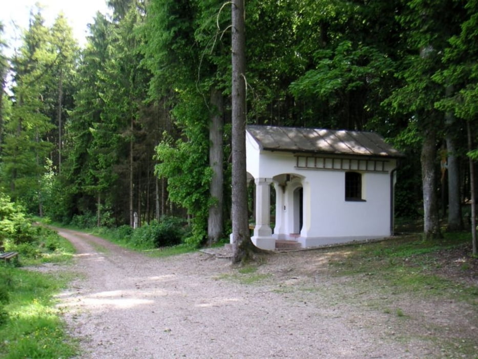
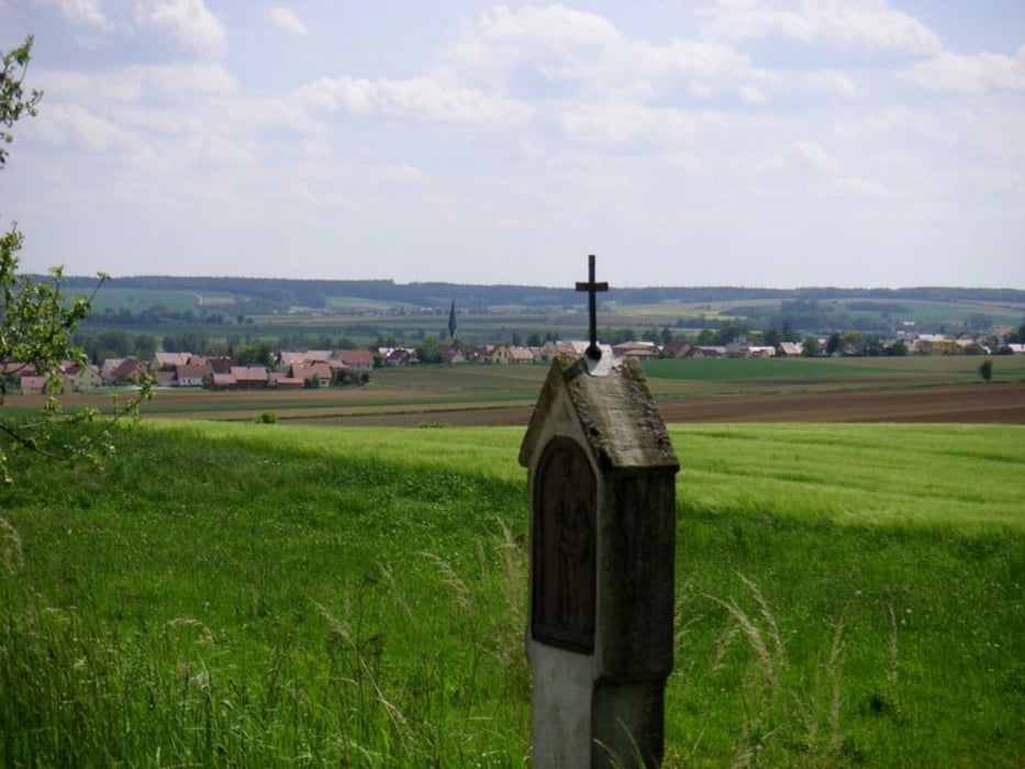
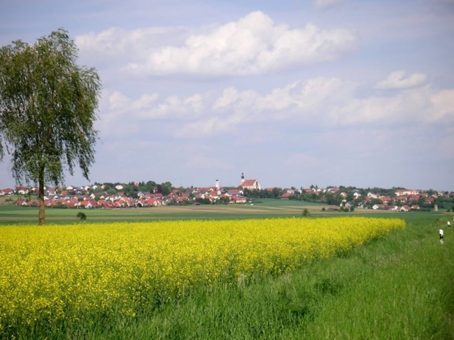
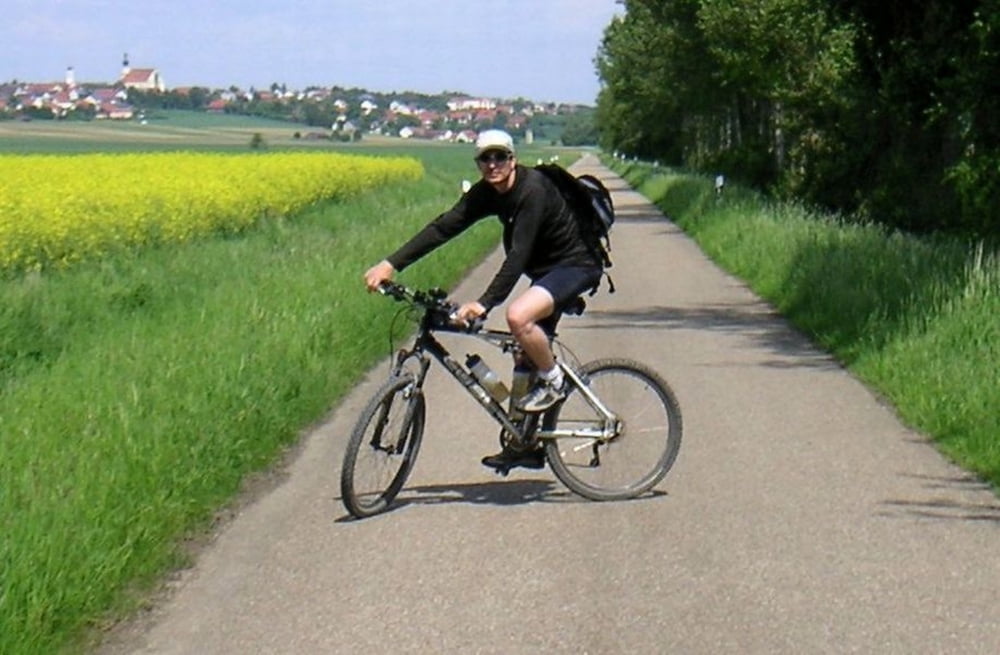
Die Tour führt nach Neueglofsheim (Schloß Haus) von dort auf schönen Wegen weiter über Hagelstadt, einer Marienkapelle im Wald durch Pfakofen nach Aufhausen. Anschl. Langenerling, Alteglofsheim (wer will, kann hier auch noch das Schloß besichtigen) und Thalmassing.

Größtenteils Fahrt unter freiem Himmel.
 

Further information at

http://de.wikipedia.org/wiki/Thalmassing#Kultur_und_Sehensw.C3.BCrdigkeiten

Galeria trasy

Mapa trasy i profil wysokości

  • Open Street Map
  • Google
Minimum height 344 m Maximum height 404 m Widok szczegółowy

More about the tour author

Herzblut
Member since 2010

Send private message

Komentarze

GPS tracks

Trackpoints
  • GPX / Garmin Map Source (gpx) download
  • TCX / Garmin Training Center® (tcx) download
  • CRS / Garmin Training Center® (crs) download
  • Google Earth (kml) download
  • G7ToWin (g7t) download
  • TTQV (trk) download
  • Overlay (ovl) download
  • Fugawi (txt) download
  • Kompass (DAV) Track (tk) download
  • Karta trasy (pdf) download
  • Original file of the author (gpx) download

More about the tour author

Herzblut
Member since 2010

Send private message
Share track
Add to my favorites
Remove from my favorites
Edit tags
My score
Rate
Trasa: Schloß Haus, Pfakofen, Aufhausen, Langenerling
Rodzaj: Rower górski (MTB)
Długość: 33,8 km
Evaluated on:
Czas trwania:
Day(s)
Hour(s)
Minute(s)
Ocena: Krajobraz Czynnik zadowolenia Kondycja Technika