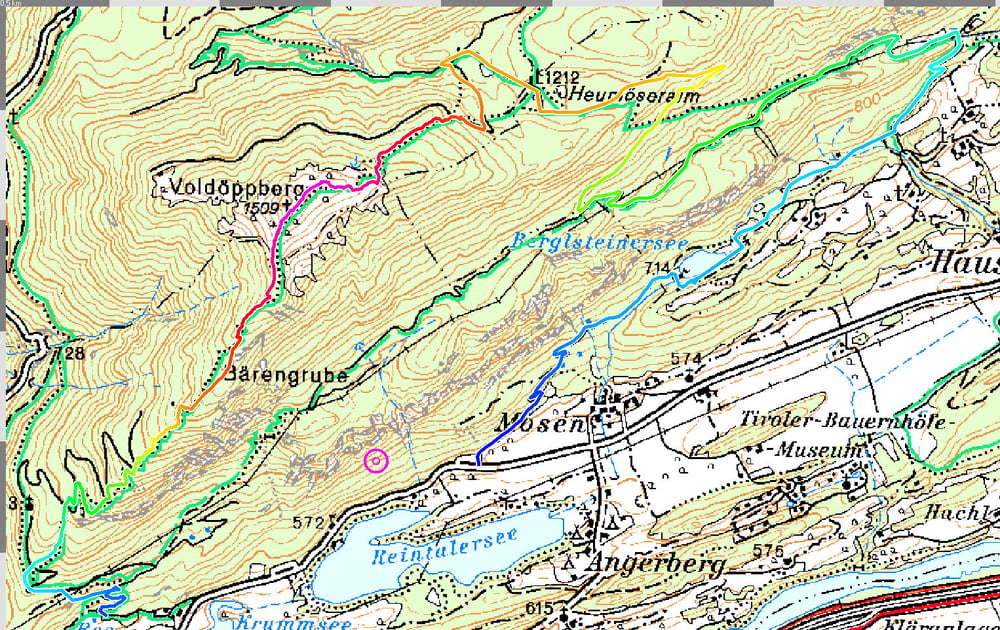
sehr anspruchsvolle Tour mit Auffahrt über steile Forststraße, gefolgt von einer 200 Höhenmeter umfassenden Schiebepassage bis zum vorderen Gipfel der Voldöppspitze auf ca. 1500 m, dann "endlose" und herausfordernde Trailabfahrt (S2/G1, tw. S3/G1) zurück zum Reintalersee
Galeria trasy
Mapa trasy i profil wysokości
Minimum height 587 m
Maximum height 1509 m
Komentarze
öffentlich: ÖBB-Haltestelle "Rattenberg/Kramsach", Wegweiser zum "Reintaler See"
Auto: oberer Parkplatz "Reintaler See"
GPS tracks
Trackpoints-
GPX / Garmin Map Source (gpx) download
-
TCX / Garmin Training Center® (tcx) download
-
CRS / Garmin Training Center® (crs) download
-
Google Earth (kml) download
-
G7ToWin (g7t) download
-
TTQV (trk) download
-
Overlay (ovl) download
-
Fugawi (txt) download
-
Kompass (DAV) Track (tk) download
-
Karta trasy (pdf) download
-
Original file of the author (gpx) download
Add to my favorites
Remove from my favorites
Edit tags
Open track
My score
Rate


Schiebepassage
Tour
Fazit... Absolut lohnenswert...