

Rother Wanderführer: Bergisches Land (Sabine Keller)
Wir haben die Tour Nr. 50 gewandert. Eine sehr schöne und abwechlungsreiche Tour.
Am Ende haben wir die im Buch beschriebene Abkürzung gewandert, wobei diese durch eine sehr schöne Landschaft an den (Mini-) Wasserfall führte.
Bewirtung auf der Strecke war eher wenig, in Dattenfeld gab es ein Cafe im Blumenladen (leider direkt an der lauten Strasse), etwas später aber einen Italiener (La Cascada) der besser aussah.
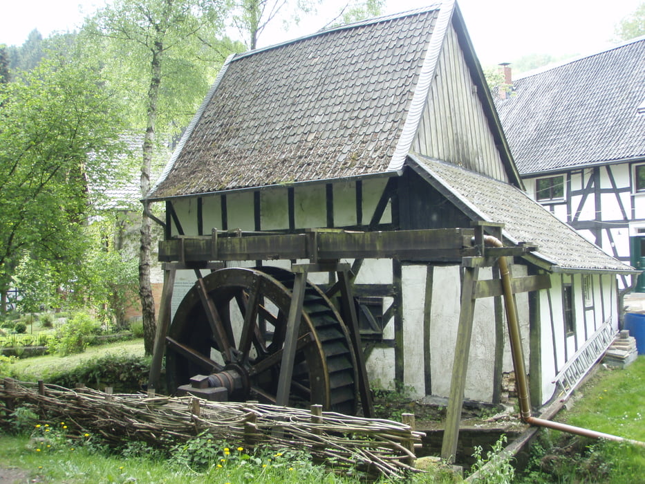
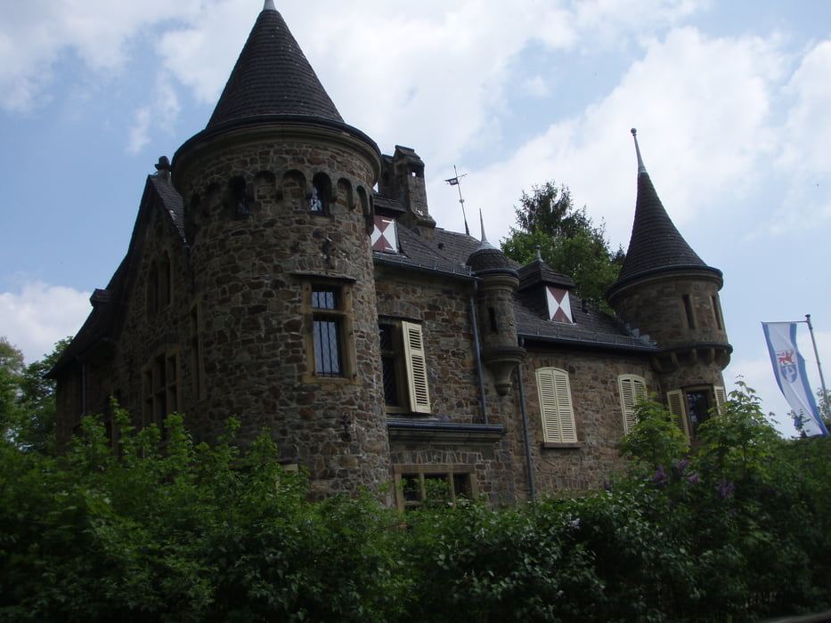
Galeria trasy

Mapa trasy i profil wysokości
Minimum height 110 m
Maximum height 300 m
More about the tour author
|
|
Zoellig |
Komentarze

Am besten mit der Bahn zum Bahnhof Schladern. Ansonsten kann man dort auch umsonst parken.
GPS tracks
Trackpoints-
GPX / Garmin Map Source (gpx) download
-
TCX / Garmin Training Center® (tcx) download
-
CRS / Garmin Training Center® (crs) download
-
Google Earth (kml) download
-
G7ToWin (g7t) download
-
TTQV (trk) download
-
Overlay (ovl) download
-
Fugawi (txt) download
-
Kompass (DAV) Track (tk) download
-
Karta trasy (pdf) download
-
Original file of the author (gpx) download
More about the tour author
|
|
Zoellig |
Add to my favorites
Remove from my favorites
Edit tags
Open track
My score
Rate