


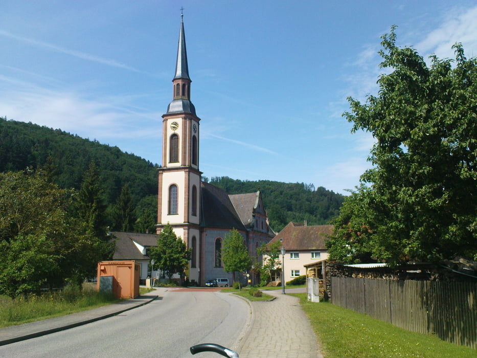
Start in Kenzingen über Bleicheim Ettenheimmünster zum Streitberg,
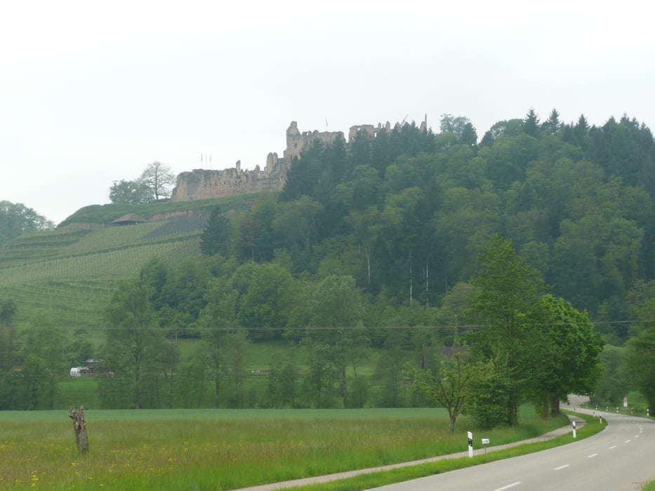
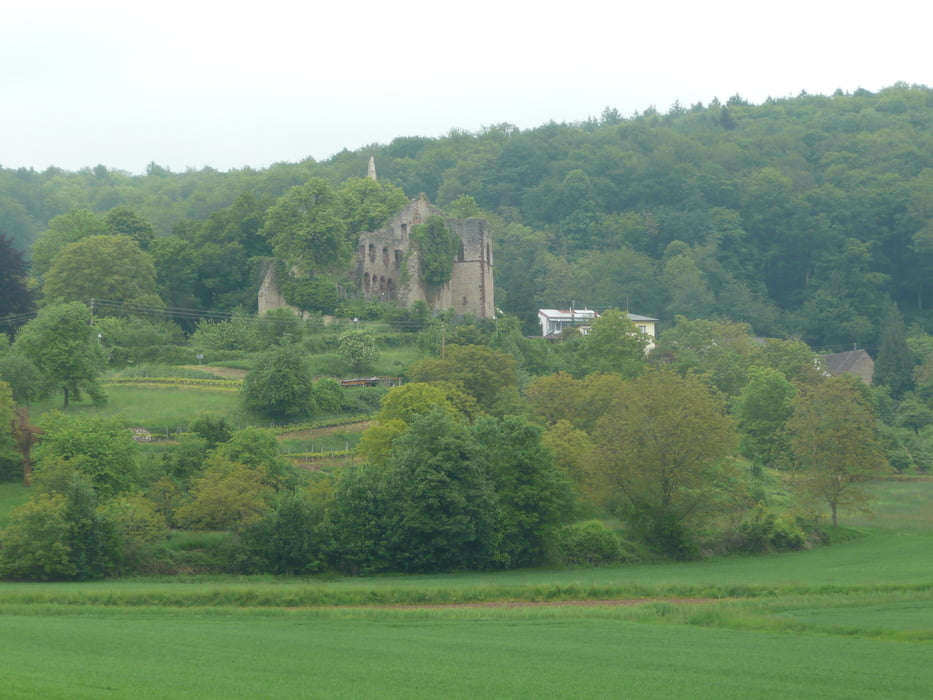
durch Freiamt zur Hochburg über Landeck und Heimbach zurück nach Hecklingen
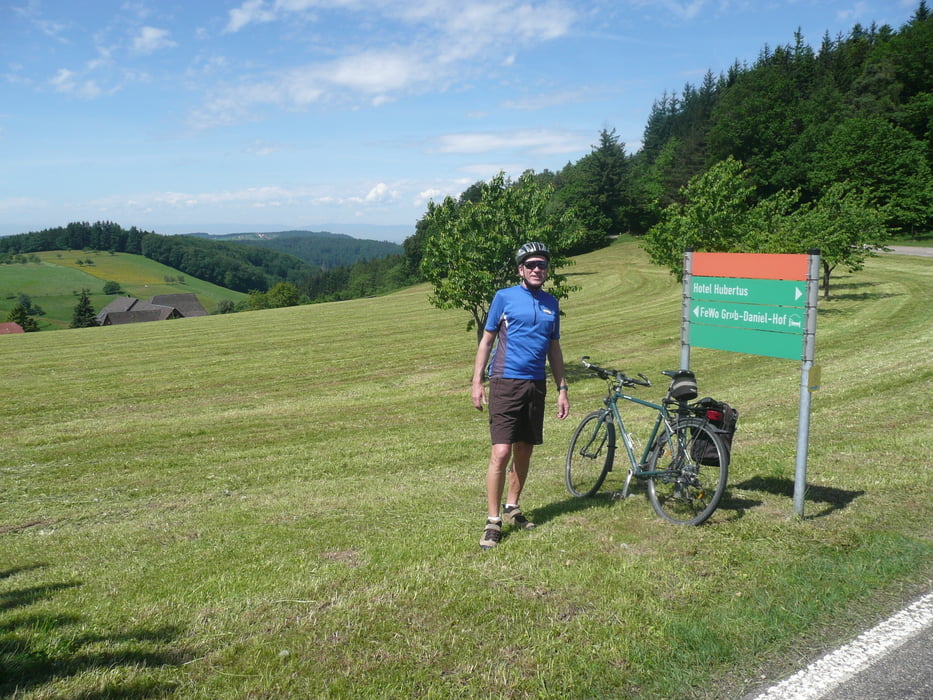
Von Landeck nach Heimbach und von Bombach nach Hecklingen sind Schotterwege, die trotz der Nässe an dem Tag gut zu fahren waren. Mit Rennrädern bei Nässe nicht zu empfehelen, bei trockenheit sind diese Wege wohl auch mit breiten Rennradreifen zu fahren.
Ein schöner Kurs mit reichlich auf und ab.
Kommentare erwünscht
Further information at
http://www.hri-d.de/79341/walzerGaleria trasy
Mapa trasy i profil wysokości
Minimum height 179 m
Maximum height 503 m
More about the tour author
|
|
arteus |
Komentarze

Kenzingen ist über die A 5 Abfahrt Riegel oder Herbolzheim gut zu erreichen.
GPS tracks
Trackpoints-
GPX / Garmin Map Source (gpx) download
-
TCX / Garmin Training Center® (tcx) download
-
CRS / Garmin Training Center® (crs) download
-
Google Earth (kml) download
-
G7ToWin (g7t) download
-
TTQV (trk) download
-
Overlay (ovl) download
-
Fugawi (txt) download
-
Kompass (DAV) Track (tk) download
-
Karta trasy (pdf) download
-
Original file of the author (gpx) download
More about the tour author
|
|
arteus |
Add to my favorites
Remove from my favorites
Edit tags
Open track
My score
Rate