
")

Date: May 23, 2009
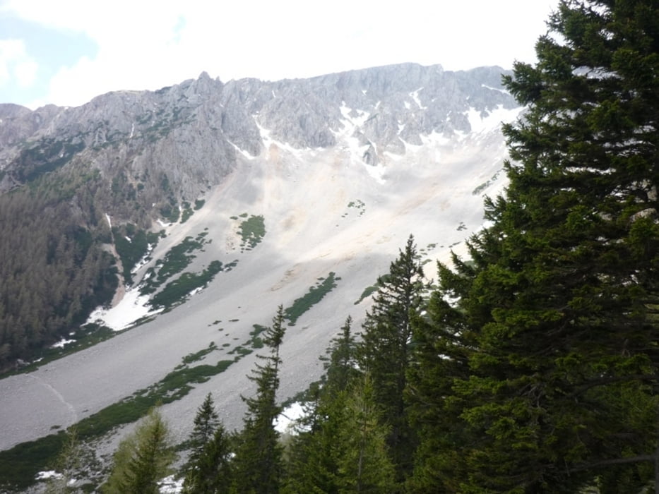
Start: 1182 m (mountain station of Salamander Sesselbahn)
Finish: 864 m (lower station of Salamander Sesselbahn)
Highest point: 1347 m
Lowest point: 679 m
Total ascent: 379 m
Total descent: 697 m
Information about the Salamander Sesselbahn:
http://www.schneebergbahn.at
Webcams:
http://www.schneeberg.tv
Places where you can eat and drink:
Edelweisshütte (start of the hike),
Gasthof in Schneebergdörfl,
Losenheim
Route:
1. mountain station of Salamander Sesselbahn - start on route: 'Nördlicher Grafensteig'
2. cross Lahningries
3. pass by Ferdinand Bürkle Bergrettungshütte
4. follow the signs towards Schneebergdörfl
5. follow the signs towards 'Wasserfall' - Sonnleiten
6. continue towards Losenheim
7. reach lower station of Salamander Sesselbahn
Further information at
http://www.beepee.hu/kepek/v/turak/schneeberg1005/Galeria trasy


Mapa trasy i profil wysokości
Minimum height 678 m
Maximum height 1347 m
More about the tour author
|
|
beepee |
Komentarze

Route:
1. mountain station of Salamander Sesselbahn - start on route: 'Nördlicher Grafensteig'
2. cross Lahningries
3. pass by Ferdinand Bürkle Bergrettungshütte
4. follow the signs towards Schneebergdörfl
5. follow the signs towards 'Wasserfall' - Sonnleiten
6. continue towards Losenheim
7. reach lower station of Salamander Sesselbahn
GPS tracks
Trackpoints-
GPX / Garmin Map Source (gpx) download
-
TCX / Garmin Training Center® (tcx) download
-
CRS / Garmin Training Center® (crs) download
-
Google Earth (kml) download
-
G7ToWin (g7t) download
-
TTQV (trk) download
-
Overlay (ovl) download
-
Fugawi (txt) download
-
Kompass (DAV) Track (tk) download
-
Karta trasy (pdf) download
-
Original file of the author (gpx) download
More about the tour author
|
|
beepee |
Add to my favorites
Remove from my favorites
Edit tags
Open track
My score
Rate