Login

Zapomniałeś swój login?

Cookies have to be accepted!
Your browser's cookie functionality is disabled. Please enable this functionality.

Not a member yet?

Register now
Login

Available for registred users only

Log in to use this feature.

Zapomniałeś swój login?

Cookies have to be accepted!
Your browser's cookie functionality is disabled. Please enable this functionality.

Not a member yet?

Register now
Filter
Kategorie
Advanced filters
  • Długość (km)
  • Wysokość
Zapisz filtr Reset filter

TrackRank

QRCode

Technical data

Długość48,6 km Wysokość989 m Way down954 m Czas trwania02:45 h:m Data31.05.2010
Oceny Author Krajobraz Czynnik zadowolenia Kondycja Technika

Statystyka

392 Widoki 1 Ocena 66 Downloads / Pliki do pobrania 3.00 Przeciętnie
Rate
  • Karta trasy
  • Dojazd
  • Downloads / Pliki do pobrania

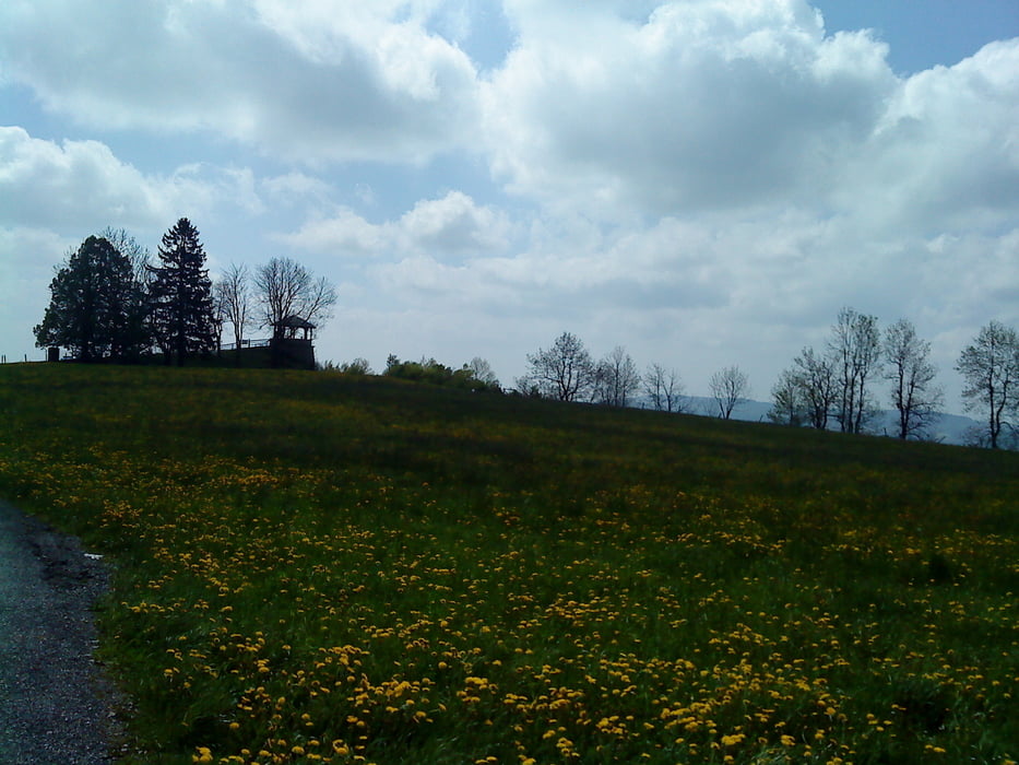
Diese Tour durch den Linzgau führt über die drei Linzgau-"Gipfel" Gehrenberg, Heiligenberg und Höchsten. Besonders schön sind die Aussichten, die man auf den Bodensee und bei klarem Wetter auf die Alpenkette erhaschen kann. Aber auch die Fahrt entlang der Rotach ist ein landschaftlicher Leckerbissen, wie man dem Foto entnehmen kann.

Galeria trasy

Mapa trasy i profil wysokości

  • Open Street Map
  • Google
Minimum height 419 m Maximum height 836 m Widok szczegółowy

More about the tour author

tobiasfl
Member since 2007

Send private message

Komentarze

jokermanex on 18.09.2010

"Wiederholung" 18.09.10

Ist ne nette Tour ohne technische Schwierigkeiten.
Einfach nur schönes Rollen.
Aufstiege außer den kurzen Stücken nach Lellwangen und oberhalb Ellenfurt harmlos.
Leider ist etwas viel Asphalt dabei.

GPS tracks

Trackpoints
  • GPX / Garmin Map Source (gpx) download
  • TCX / Garmin Training Center® (tcx) download
  • CRS / Garmin Training Center® (crs) download
  • Google Earth (kml) download
  • G7ToWin (g7t) download
  • TTQV (trk) download
  • Overlay (ovl) download
  • Fugawi (txt) download
  • Kompass (DAV) Track (tk) download
  • Karta trasy (pdf) download
  • Original file of the author (gpx) download

More about the tour author

tobiasfl
Member since 2007

Send private message
Share track
Add to my favorites
Remove from my favorites
Edit tags
My score
Rate
Trasa: Linzgautour
Rodzaj: Rower górski (MTB)
Długość: 48,6 km
Evaluated on:
Czas trwania:
Day(s)
Hour(s)
Minute(s)
Ocena: Krajobraz Czynnik zadowolenia Kondycja Technika