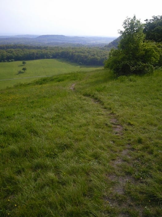
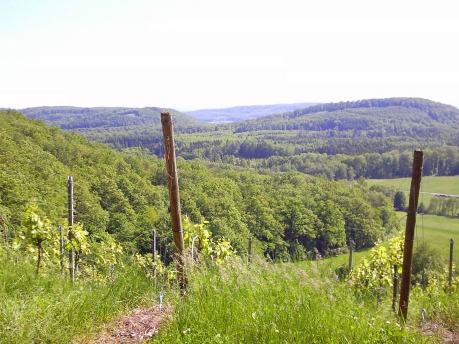
Die Tour geht fast nur über Schotterwege. Gerade in der Regenzeit ist diese Tour zu empfehlen. Sie ist in beiden Richtungen fahrbar. Gestartet wird in Zaisersweiher, es geht zunächst in Richtung Norden. Ca. 200 Meter nach dem Ortsschild, nach den Fischteich rechte Seite den Forstweg lang. Dort beginnt auch die Aufzeichnung (start)
Galeria trasy
Mapa trasy i profil wysokości
Minimum height 300 m
Maximum height 520 m
Komentarze

Zaisersweiher sollt füe alle MTB'ler gut zu finden sein. Geparkt wird an der Festhalle.
GPS tracks
Trackpoints-
GPX / Garmin Map Source (gpx) download
-
TCX / Garmin Training Center® (tcx) download
-
CRS / Garmin Training Center® (crs) download
-
Google Earth (kml) download
-
G7ToWin (g7t) download
-
TTQV (trk) download
-
Overlay (ovl) download
-
Fugawi (txt) download
-
Kompass (DAV) Track (tk) download
-
Karta trasy (pdf) download
-
Original file of the author (tcx) download
Add to my favorites
Remove from my favorites
Edit tags
Open track
My score
Rate


