


Die Eiskapelle ist ausschließlich von der Halbinsel St.Bartholomä aus zu erreichen
Von St. Bartholomä (603 m) geht es in Richtung Nationalpark-Informationsstelle. Von dort dem Wegweiser nach links folgen und über die Eisbach-Brücke zur Kapelle St. Johann und Paul.
Nun steigt der Weg zunächst steiler durch einen submontanen Buchenmischwald an, bis sich der Blick auf die mächtige Watzmann-Ostwand öffnet. Entlang des mitunter trockenen Bachbetts geht es zuletzt weglos durch grobblockiges Gelände.
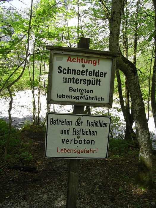
Vorsicht: Zur Zeit der Schneeschmelze und nach heftigen Regenfällen können die Bäche sehr stark anschwellen
Galeria trasy


Mapa trasy i profil wysokości
Minimum height 564 m
Maximum height 819 m
More about the tour author

|
andysoarer |
Komentarze

Die Halbinsel St. Bartholomä erreicht man von Schönau a. Königssee mit dem Schiff.
GPS tracks
Trackpoints-
GPX / Garmin Map Source (gpx) download
-
TCX / Garmin Training Center® (tcx) download
-
CRS / Garmin Training Center® (crs) download
-
Google Earth (kml) download
-
G7ToWin (g7t) download
-
TTQV (trk) download
-
Overlay (ovl) download
-
Fugawi (txt) download
-
Kompass (DAV) Track (tk) download
-
Karta trasy (pdf) download
-
Original file of the author (gpx) download
More about the tour author
|
|
andysoarer |
Add to my favorites
Remove from my favorites
Edit tags
Open track
My score
Rate