Login

Zapomniałeś swój login?

Cookies have to be accepted!
Your browser's cookie functionality is disabled. Please enable this functionality.

Not a member yet?

Register now
Login

Available for registred users only

Log in to use this feature.

Zapomniałeś swój login?

Cookies have to be accepted!
Your browser's cookie functionality is disabled. Please enable this functionality.

Not a member yet?

Register now
Filter
Kategorie
Advanced filters
  • Długość (km)
  • Wysokość
Zapisz filtr Reset filter

TrackRank

QRCode

Technical data

Długość17,7 km Wysokość1140 m Way down1082 m Czas trwania05:00 h:m Data02.06.2010
Oceny Author User Krajobraz Czynnik zadowolenia Kondycja Technika

Statystyka

771 Widoki 1 Ocena 132 Downloads / Pliki do pobrania 4.00 Przeciętnie
Rate
  • Karta trasy
  • Dojazd
  • Downloads / Pliki do pobrania

Schöne Tour, meinst entlang von Forststrassen. Zum Miesingsattel und zum Gipfel des Hochmiesing einfache Wanderwege.


Aufgrund der Länge ist etwas Konditione nötig
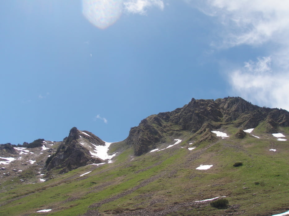
Galeria trasy

Mapa trasy i profil wysokości

  • Open Street Map
  • Google
Minimum height 733 m Maximum height 1875 m Widok szczegółowy

More about the tour author

hannes1978
Member since 2010

Send private message

Komentarze

meistercraft on 24.06.2011

schöne Tour

Eine sehr schöne Tour, bis zum Abstieg wenig begangen. Abstieg vom Gipfel bei Nässe etwas schwieriger (Steig) da ziemlich rutschig.
Abstieg nach SoinSee steile Fortstrasse.
Obwohl wir stramme Geher sind und nur am Gripfel ein halbstündige Pause gemacht haben dauerte die Tour knapp 7 Stunden.

GPS tracks

Trackpoints
  • GPX / Garmin Map Source (gpx) download
  • TCX / Garmin Training Center® (tcx) download
  • CRS / Garmin Training Center® (crs) download
  • Google Earth (kml) download
  • G7ToWin (g7t) download
  • TTQV (trk) download
  • Overlay (ovl) download
  • Fugawi (txt) download
  • Kompass (DAV) Track (tk) download
  • Karta trasy (pdf) download
  • Original file of the author (gpx) download

More about the tour author

hannes1978
Member since 2010

Send private message
Share track
Add to my favorites
Remove from my favorites
Edit tags
My score
Rate
Trasa: Hochmiesing
Rodzaj: Wędrówki
Długość: 17,7 km
Evaluated on:
Czas trwania:
Day(s)
Hour(s)
Minute(s)
Ocena: Krajobraz Czynnik zadowolenia Kondycja Technika