


Sehr schöne Wanderung.
Start bei Feriënwohnungen Herr Ehrenreich Lechthaler,
Obermühlbach 770, 6473 Wenns, Österreich.
Tel. 0043-541486252
e-mail:lechthaler@tirol.com
website:www.lechthaler-pitztal.com
oder start bei
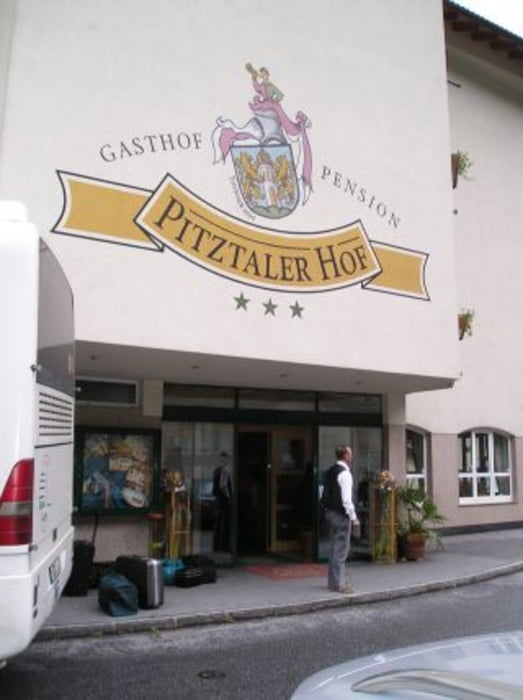
Gasthof Pitzthalerhof, Familie Othmar Thurner,,
Oberdorf 215, A- 6473 Wenns/Pitztal, Tirol.
Tel.: +43(5414)87220 Fax: +43(5414)86430
E-Mail:pitztalerhof@aon.at; www.pitztalerhof.at
über Wenns nach Timmls, starke Steigung nach Berggasthof Plattenrain, Plattenrain Alm,
A 6471 Arzl im Pitztal, Tel. 0043-5412/63101. Einkehrmöglichkeit.
Danach über Hochasten, Auders, Eggmahd wieder zurück nach Obermühlbach.
Galeria trasy


Mapa trasy i profil wysokości
Minimum height 1011 m
Maximum height 1480 m
More about the tour author
|
|
boskwa12 |
Komentarze

GPS tracks
Trackpoints-
GPX / Garmin Map Source (gpx) download
-
TCX / Garmin Training Center® (tcx) download
-
CRS / Garmin Training Center® (crs) download
-
Google Earth (kml) download
-
G7ToWin (g7t) download
-
TTQV (trk) download
-
Overlay (ovl) download
-
Fugawi (txt) download
-
Kompass (DAV) Track (tk) download
-
Karta trasy (pdf) download
-
Original file of the author (gpx) download
More about the tour author
|
|
boskwa12 |
Add to my favorites
Remove from my favorites
Edit tags
Open track
My score
Rate