Login

Zapomniałeś swój login?

Cookies have to be accepted!
Your browser's cookie functionality is disabled. Please enable this functionality.

Not a member yet?

Register now
Login

Available for registred users only

Log in to use this feature.

Zapomniałeś swój login?

Cookies have to be accepted!
Your browser's cookie functionality is disabled. Please enable this functionality.

Not a member yet?

Register now
Filter
Kategorie
Advanced filters
  • Długość (km)
  • Wysokość
Zapisz filtr Reset filter

TrackRank

QRCode

Technical data

Długość51,0 km Wysokość384 m Way down382 m Czas trwania02:30 h:m Data04.06.2010
Oceny Author User Krajobraz Czynnik zadowolenia Kondycja Technika

Statystyka

298 Widoki 1 Ocena 78 Downloads / Pliki do pobrania 2.00 Przeciętnie
Rate
  • Karta trasy
  • Dojazd
  • Downloads / Pliki do pobrania

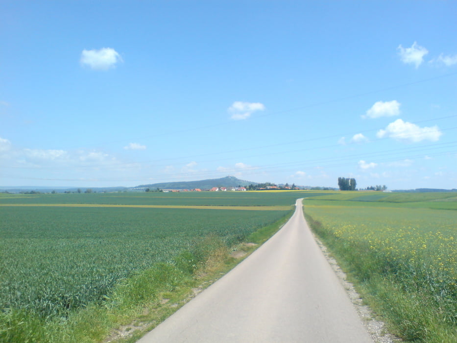
Route verläuft überwiegend auf Wald und Wiesenwegen.

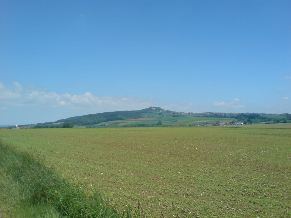
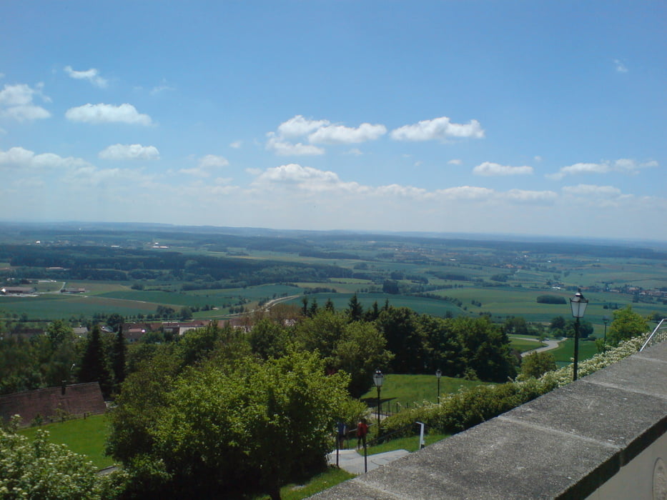
Die Strecke ist mehr oder weniger eben, lediglich ein kleiner Anstieg hoch zur Bussenkirch... der es aber insich hat !!

Direkt unterhalb der Kirch am Bussen befindet sich ein schöner Biergarten, der zu einer kleinen Rast einlädt.

Durch den derzeitigen Bau der Umgehungsstraße in Bad Saulgau kann es am Ortsende zu Komplikationen kommen.

Galeria trasy

Mapa trasy i profil wysokości

  • Open Street Map
  • Google
Minimum height 526 m Maximum height 758 m Widok szczegółowy

More about the tour author

GOI
Member since 2009

Send private message

Komentarze

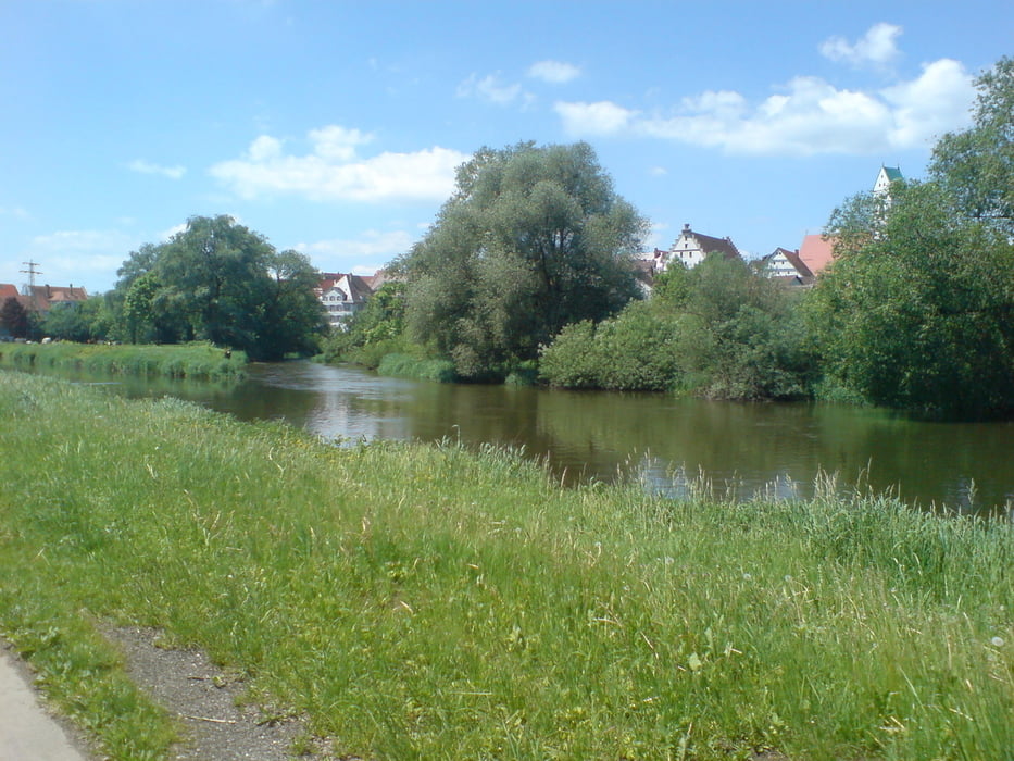
Los geht's am Reha bzw. Thermalbad Parkplatz in Bad Saulgau.


GPS tracks

Trackpoints
  • GPX / Garmin Map Source (gpx) download
  • TCX / Garmin Training Center® (tcx) download
  • CRS / Garmin Training Center® (crs) download
  • Google Earth (kml) download
  • G7ToWin (g7t) download
  • TTQV (trk) download
  • Overlay (ovl) download
  • Fugawi (txt) download
  • Kompass (DAV) Track (tk) download
  • Karta trasy (pdf) download
  • Original file of the author (gpx) download

More about the tour author

GOI
Member since 2009

Send private message
Share track
Add to my favorites
Remove from my favorites
Edit tags
My score
Rate
Trasa: Saulgau-Bussen-Riedlingen
Rodzaj: Rower trekkingowy
Długość: 51,0 km
Evaluated on:
Czas trwania:
Day(s)
Hour(s)
Minute(s)
Ocena: Krajobraz Czynnik zadowolenia Kondycja Technika