


einfache Bergwanderung von Fraxern auf die Hohe Kugel.
Der Anstieg geht weitgehend / paralell zum Güterweg zur Kugelalpe (beliebte MTB Auffahrt), der Abstieg geht auf dem Grat entlang Richtung Fraxern (Wanderweg).
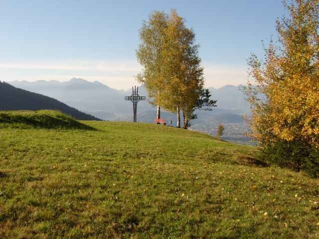
Zur Pause lädt die Kugelalpe und das Maiensäß auf dem Abstieg ein (siehe Wegpunkte).
Die Hohe Kugel ist ein stark frequentierter Wanderberg, entsprechend errodiert sind die Wanderwege am Gipfel.
Der Anstieg geht weitgehend / paralell zum Güterweg zur Kugelalpe (beliebte MTB Auffahrt), der Abstieg geht auf dem Grat entlang Richtung Fraxern (Wanderweg).
Zur Pause lädt die Kugelalpe und das Maiensäß auf dem Abstieg ein (siehe Wegpunkte).
Die Hohe Kugel ist ein stark frequentierter Wanderberg, entsprechend errodiert sind die Wanderwege am Gipfel.
Galeria trasy
Mapa trasy i profil wysokości
Minimum height 448 m
Maximum height 1643 m
More about the tour author
|
|
skyhopper |
Komentarze

A14 Reihntalautobahn bis Abfahrt Klaus, dort Richtung Fraxer. In Fraxern weiter bis zum Sportplatz (kostenpflichtiger Parkplatz).
Der Track beinhaltet die Anfahrt von der Autobahn weg. Sie können mit dem Auto bis zum Fahrverbotsschild fahren und dort (kostenpflichtig) parken.
Der Track beinhaltet die Anfahrt von der Autobahn weg. Sie können mit dem Auto bis zum Fahrverbotsschild fahren und dort (kostenpflichtig) parken.
GPS tracks
Trackpoints-
GPX / Garmin Map Source (gpx) download
-
TCX / Garmin Training Center® (tcx) download
-
CRS / Garmin Training Center® (crs) download
-
Google Earth (kml) download
-
G7ToWin (g7t) download
-
TTQV (trk) download
-
Overlay (ovl) download
-
Fugawi (txt) download
-
Kompass (DAV) Track (tk) download
-
Karta trasy (pdf) download
-
Original file of the author (gpx) download
More about the tour author
|
|
skyhopper |
Add to my favorites
Remove from my favorites
Edit tags
Open track
My score
Rate