

Von der Hohemark gings zum Feldberg und dann nach Hofheim.
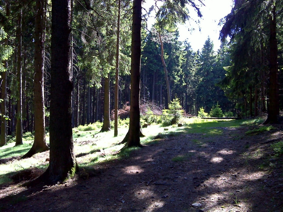
Hin zum Feldberg sind wir, ausgehend von der Hohemark, die Variante 4 von CL gefahren (Tour 50399), das ist ein schöner Mix aus Steigung und Technik. Zurück gings über meine Lieblingstrails Richtung Kelkheim: nämlich runter zur Weilquelle, dann Wurzelweg, weiter vom Naturfreundehaus einen super Trial zum Rettershof und dann nach Kelkheim. Und weil noch was im Tank war, über die Gundelhardt zurück nach Hofheim.
Further information at
http://www.freidaach.deMapa trasy i profil wysokości
Minimum height 126 m
Maximum height 888 m
More about the tour author

|
Karsten1970 |
Komentarze

GPS tracks
Trackpoints-
GPX / Garmin Map Source (gpx) download
-
TCX / Garmin Training Center® (tcx) download
-
CRS / Garmin Training Center® (crs) download
-
Google Earth (kml) download
-
G7ToWin (g7t) download
-
TTQV (trk) download
-
Overlay (ovl) download
-
Fugawi (txt) download
-
Kompass (DAV) Track (tk) download
-
Karta trasy (pdf) download
-
Original file of the author (gpx) download
More about the tour author
|
|
Karsten1970 |
Add to my favorites
Remove from my favorites
Edit tags
Open track
My score
Rate