
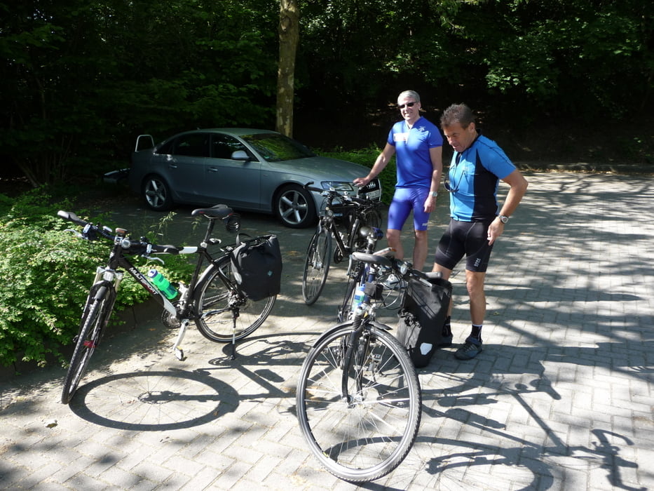

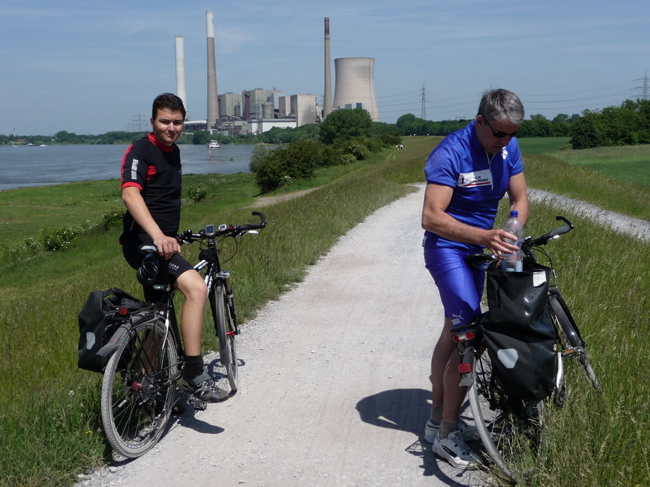
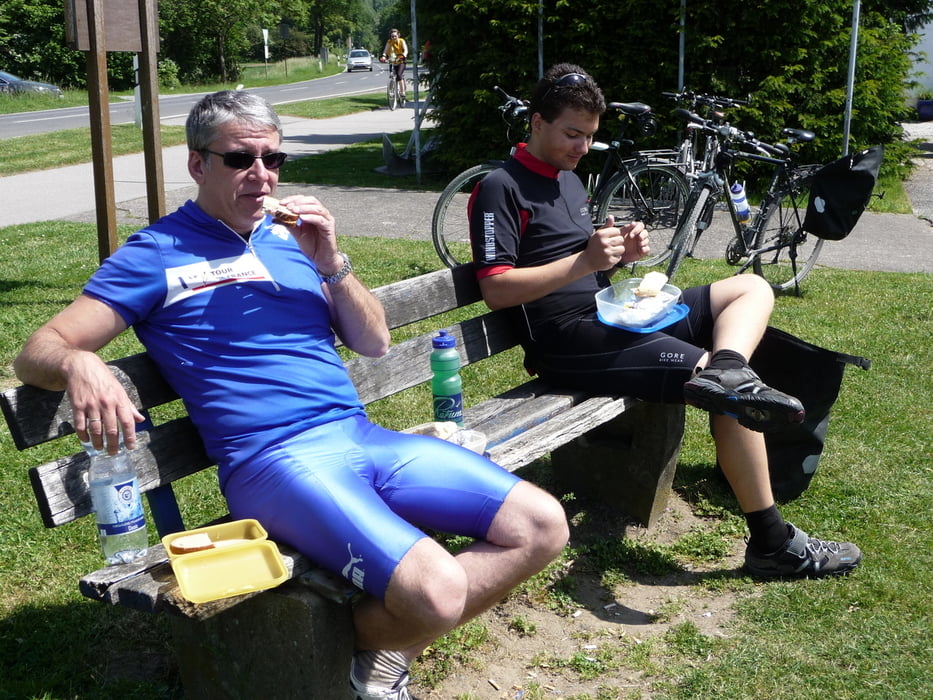
Die Rotbach-Route verläuft zwischen Lippe und Emscher entlang der Unterläufe beider Flüsse. Im Herzen dieser Region fließt der abwechslungsreiche Rotbach von seiner Quelle in Bottrop (Grafenmühle) in westliche Richtung zum Rhein. Besonders reizvoll an der Rotbach-Route ist das Wechselspiel von landschaftlicher Idylle und Industriekultur. Wir sind diese Route als "acht" gefahren, so kombiniert man die kleine und die grosse Route zu einer. Zum Rasten lud uns eine Bank neben dem Strandhaus an der Ahr ein. Von hier aus kann man bei einem Picknick die grossen Schiffe auf den Rhein beobachten. Als Ausgangspunkt diente uns der Parkplatz am Parkfriedhof an der Hans Böckler Strasse in Bottrop.
Galeria trasy
Mapa trasy i profil wysokości
Minimum height 22 m
Maximum height 79 m
More about the tour author
|
|
lolue |
Komentarze

GPS tracks
Trackpoints-
GPX / Garmin Map Source (gpx) download
-
TCX / Garmin Training Center® (tcx) download
-
CRS / Garmin Training Center® (crs) download
-
Google Earth (kml) download
-
G7ToWin (g7t) download
-
TTQV (trk) download
-
Overlay (ovl) download
-
Fugawi (txt) download
-
Kompass (DAV) Track (tk) download
-
Karta trasy (pdf) download
-
Original file of the author (gpx) download
More about the tour author
|
|
lolue |
Add to my favorites
Remove from my favorites
Edit tags
Open track
My score
Rate