
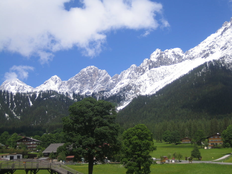

Ausgangspunkt Hotel Annelies Ramsau Kulm. Über Kulmberg (Alpentour) zur Halseralm - nach Mandling. Dann auf Radweg (Ennsradweg) nach Forstau. Über sehr schöne Forststraße über Eberberg nach Mandling vorbei, bei Loden Steiner über Forststraße auf den Rittsberg (Sonnenalm) - über schöne Forststraße (im Winter Langlaufstrecke) zu Fischteich (Schildlehen) und Ramsau Ort bis Kulm zurück.
Further information at
http://www.hotel-annelies.atMapa trasy i profil wysokości
Minimum height 775 m
Maximum height 1302 m
More about the tour author
|
|
Hotel_Annelies |
Komentarze

Parkmöglichkeit in der nähe von Hotel Annelies Kulm - vor Sportmoden Schrempf oder TV Kulm
GPS tracks
Trackpoints-
GPX / Garmin Map Source (gpx) download
-
TCX / Garmin Training Center® (tcx) download
-
CRS / Garmin Training Center® (crs) download
-
Google Earth (kml) download
-
G7ToWin (g7t) download
-
TTQV (trk) download
-
Overlay (ovl) download
-
Fugawi (txt) download
-
Kompass (DAV) Track (tk) download
-
Karta trasy (pdf) download
-
Original file of the author (gpx) download
More about the tour author
|
|
Hotel_Annelies |
Add to my favorites
Remove from my favorites
Edit tags
Open track
My score
Rate