Login

Zapomniałeś swój login?

Cookies have to be accepted!
Your browser's cookie functionality is disabled. Please enable this functionality.

Not a member yet?

Register now
Login

Available for registred users only

Log in to use this feature.

Zapomniałeś swój login?

Cookies have to be accepted!
Your browser's cookie functionality is disabled. Please enable this functionality.

Not a member yet?

Register now
Filter
Kategorie
Advanced filters
  • Długość (km)
  • Wysokość
Zapisz filtr Reset filter

TrackRank

QRCode

Technical data

Długość34,7 km Wysokość187 m Way down175 m Czas trwania04:00 h:m Data06.06.2010
Oceny Author Krajobraz Czynnik zadowolenia Kondycja Technika

Statystyka

429 Widoki Oceny 26 Downloads / Pliki do pobrania Przeciętnie
Rate
  • Karta trasy
  • Dojazd
  • Downloads / Pliki do pobrania

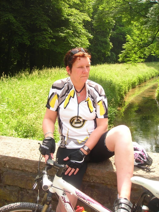
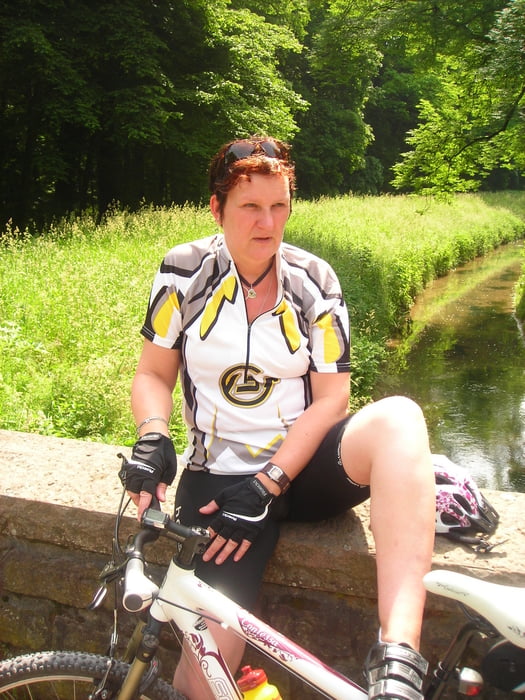
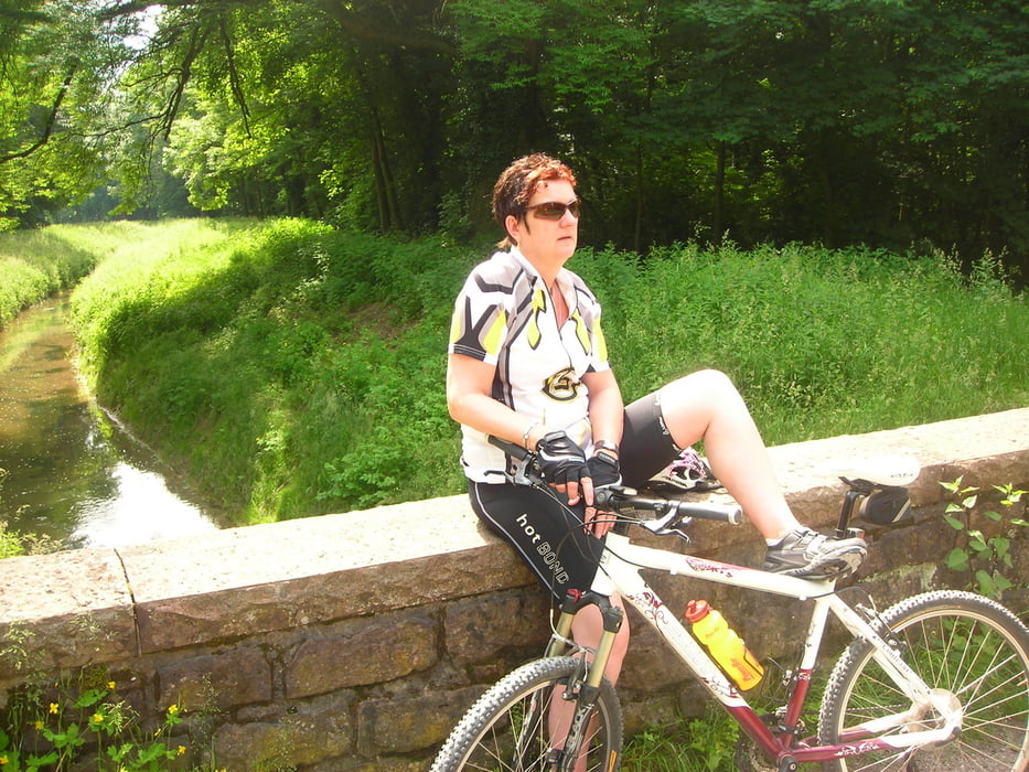
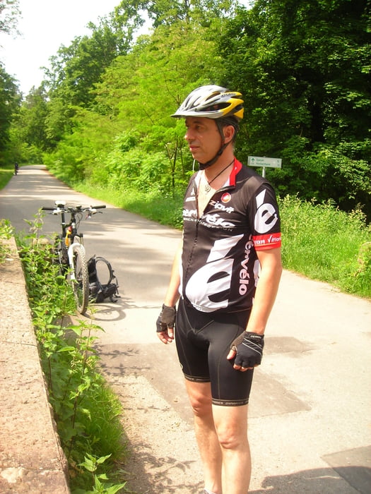
gemütliche Tour mit Partnerin von Rohrbach durch den schönen Sandhäuser Wald nach Hockenheim, vorbei am Hockenheimring. In der Fußgängerzone von Hockenheim ( Einkehrmöglichkeit ) wars zeit für einen ersten Cappuccino.Danach gings  auf Forst und breiten Waldwegen Richtung Sandhausen zurück. Von dort aus waren es nur noch wenige KM nach Leimen, wo wir einen schönen Abschluss im " Brauhaus Leimen" bei gesundem Salat und Weizenbier hatten

Galeria trasy

Mapa trasy i profil wysokości

  • Open Street Map
  • Google
Minimum height 81 m Maximum height 167 m Widok szczegółowy

More about the tour author

MTBBiker1966
Member since 2010

Send private message

Komentarze

GPS tracks

Trackpoints
  • GPX / Garmin Map Source (gpx) download
  • TCX / Garmin Training Center® (tcx) download
  • CRS / Garmin Training Center® (crs) download
  • Google Earth (kml) download
  • G7ToWin (g7t) download
  • TTQV (trk) download
  • Overlay (ovl) download
  • Fugawi (txt) download
  • Kompass (DAV) Track (tk) download
  • Karta trasy (pdf) download
  • Original file of the author (tcx) download

More about the tour author

MTBBiker1966
Member since 2010

Send private message
Share track
Add to my favorites
Remove from my favorites
Edit tags
My score
Rate
Trasa: Partnertour Rohrbach-Hockenheim-Leimen-Rohrbach
Rodzaj: Rower górski (MTB)
Długość: 34,7 km
Evaluated on:
Czas trwania:
Day(s)
Hour(s)
Minute(s)
Ocena: Krajobraz Czynnik zadowolenia Kondycja Technika