


Solingen, den 06.06.10, 27 Grad, sehr sonnig
Heute steht wieder "Kondition bolzen" mit dem Rennrad an.
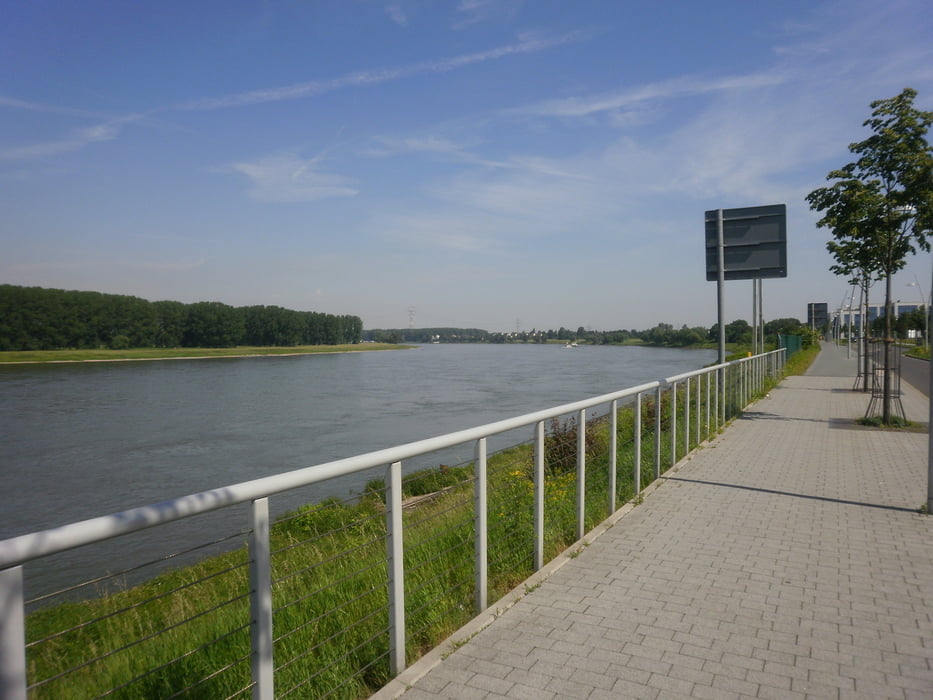
Beginnend auf der Blumenstr. in Solingen-City geht es über Aufderhöhe nach Langenfeld. Am Segelflughafen vorbei weiter in Richtung Monheim am Rhein. (Bild 1)
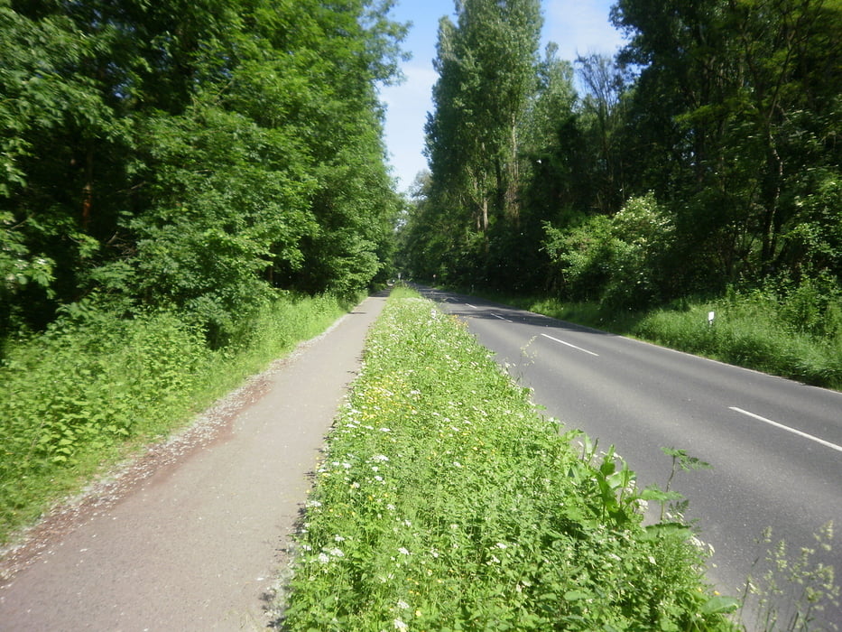
Am Rhein angekommen (Bild 2) geht es weiter in Richtung Düsseldorf Benrath. Eine sehr schöne Strecke (Bild 3) auf der man das Bike richtig gut laufen lassen kann.
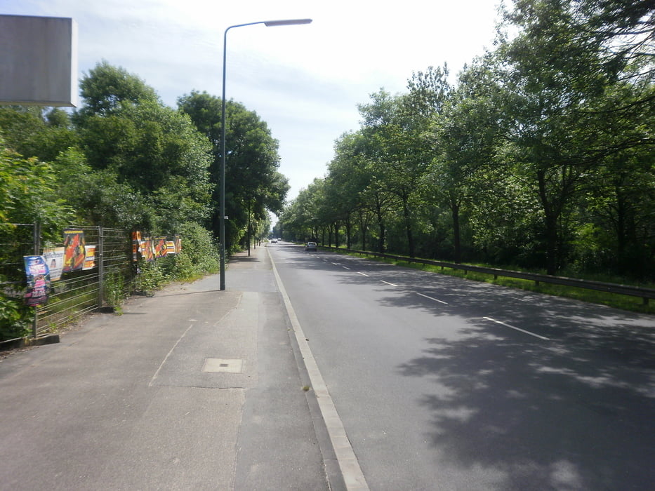
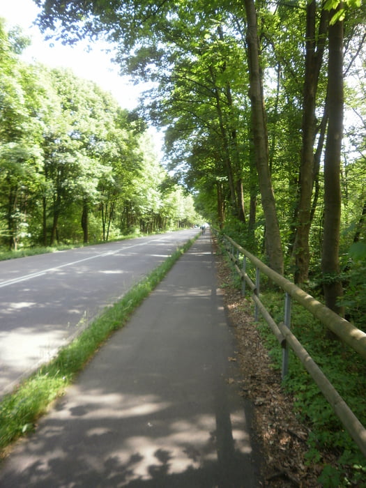
Weiter führt uns der Weg in Richtung Hilden (Bild 4) bis zur Kreuzung Elberfelder Str. (B 228). Hier biegen wir in Richtung Haan (Bild 5) ein und "erklimmen" den Anstieg hoch zum Haaner Markt.
Hier endet unser Kondition bolzen für heute, denn ich gönn mir in Haan erst einmal ein kühles Weizen ohne GPS. ;-))
Viel Spass beim Nachfahren Bis bald...
Galeria trasy
Mapa trasy i profil wysokości
Minimum height 49 m
Maximum height 222 m
More about the tour author
|
|
rsado74 |
Komentarze

Blumenstr. 44, 42655 Solingen
GPS tracks
Trackpoints-
GPX / Garmin Map Source (gpx) download
-
TCX / Garmin Training Center® (tcx) download
-
CRS / Garmin Training Center® (crs) download
-
Google Earth (kml) download
-
G7ToWin (g7t) download
-
TTQV (trk) download
-
Overlay (ovl) download
-
Fugawi (txt) download
-
Kompass (DAV) Track (tk) download
-
Karta trasy (pdf) download
-
Original file of the author (gpx) download
More about the tour author
|
|
rsado74 |
Add to my favorites
Remove from my favorites
Edit tags
Open track
My score
Rate