

Vom Parkplatz beim Bamacher in Oberplaißa gehts durch den Wald steil in einer Rinne auf ca. 1000 m. Anschließend im freien Gelände hinauf zur Ennserhütte, 1.295 m (bewirtschaftet). Gehzeit ca. 1 Stunde 15 min. Weiter gehts quer durch aufgeforstetes Gebiet auf den Sattel zwischen Großem und Kleinem Almkogel. Der Gipfelaufschwung ist kurz aber steil (Gehzeit ab Hütte ca. 45 min).
Zusätzlich sind wir auf der anderen Seite des Gipfels wieder abgestiegen und auf dem wunscherschönen Grat noch ca. 30 min. weitergewandert bis zum schmiedeeisernen Gipfelkreuz auf einer Gipfelalmwiese. Dort tummelten sich eine ganze Menge Kühe. Anschließend wieder zurück auf den Almkogelgipfel und am Aufstiegsweg zurück über die Ennserhütte zum Parkplatz
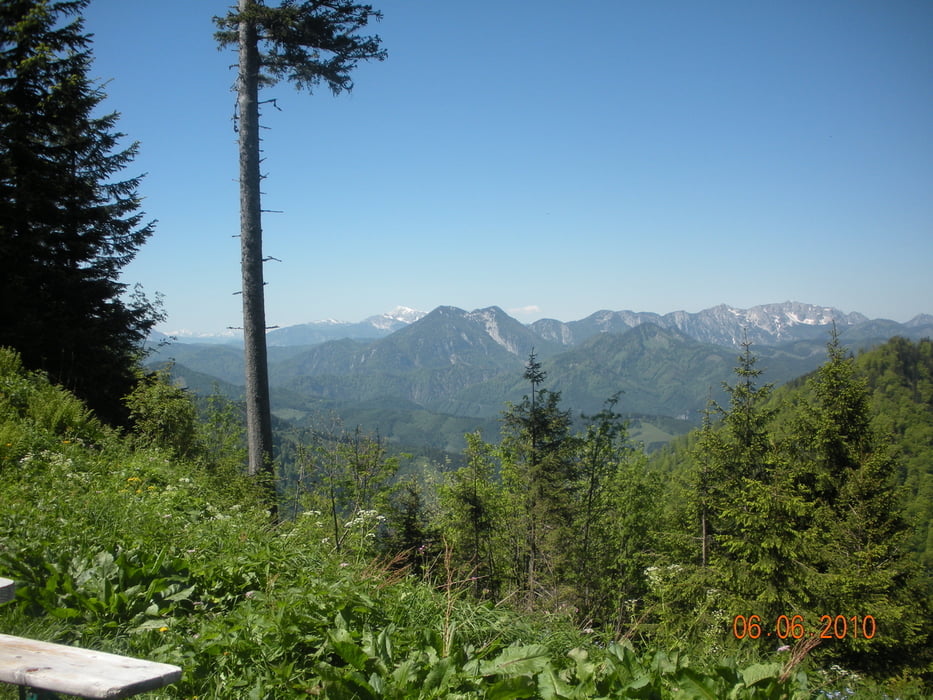
Galeria trasy


Mapa trasy i profil wysokości
Minimum height 756 m
Maximum height 1505 m
More about the tour author
|
|
Fritzl71 |
Komentarze

GPS tracks
Trackpoints-
GPX / Garmin Map Source (gpx) download
-
TCX / Garmin Training Center® (tcx) download
-
CRS / Garmin Training Center® (crs) download
-
Google Earth (kml) download
-
G7ToWin (g7t) download
-
TTQV (trk) download
-
Overlay (ovl) download
-
Fugawi (txt) download
-
Kompass (DAV) Track (tk) download
-
Karta trasy (pdf) download
-
Original file of the author (gpx) download
More about the tour author
|
|
Fritzl71 |
Add to my favorites
Remove from my favorites
Edit tags
Open track
My score
Rate