
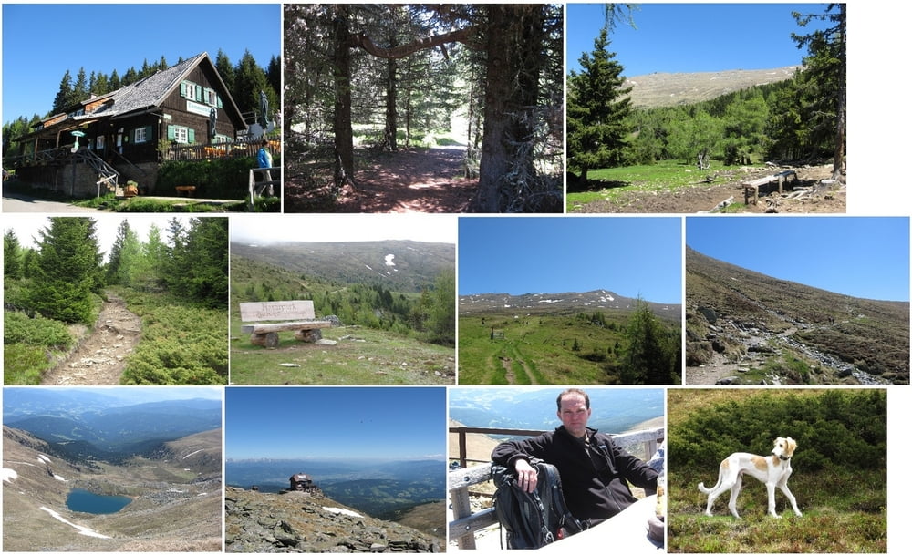

Start ist bei der Tonnerhütte (1650 m). Es geht den sehr gut markierten Wanderweg bergauf über die Skipiste zur kleinen Aussichtsplattform. Dort rechts halten durch den Wald bis zur Herterhöhe.
Auf der Herterhöhe steht ein Tron der zum Verweilen einläd. Von dort aus hat man eine wunderbare Sicht ins Tal und u.U. bis hin zum Großglockner.
Nun dem Weg nach recht Richtung Moar folgen und beim letzten Bach den Steig noch oben folgen (Richtung Fuchskogel). Parallel zum Grat den Berg entlang gehen bis zum Aufstieg auf den Kogel. Dort etwas absteigen bis zur gelben Richtungstafel.
Nun den Weg zum Scharfen Eck folgen und dann bis zur Kulmer Hütte (1819 m) wandern. Im Grunde diesem Wanderweg wieder zurück gehen und dann der Markierung bis zur Tonnerhütte folgen.
Mapa trasy i profil wysokości
Minimum height 1578 m
Maximum height 1970 m
More about the tour author
|
|
huberj59 |
Komentarze

Mit dem Auto von Mühlen aus bis zur Tonnerhütte mit guter Parkmöglichkeit.
GPS tracks
Trackpoints-
GPX / Garmin Map Source (gpx) download
-
TCX / Garmin Training Center® (tcx) download
-
CRS / Garmin Training Center® (crs) download
-
Google Earth (kml) download
-
G7ToWin (g7t) download
-
TTQV (trk) download
-
Overlay (ovl) download
-
Fugawi (txt) download
-
Kompass (DAV) Track (tk) download
-
Karta trasy (pdf) download
-
Original file of the author (gpx) download
More about the tour author
|
|
huberj59 |
Add to my favorites
Remove from my favorites
Edit tags
Open track
My score
Rate