

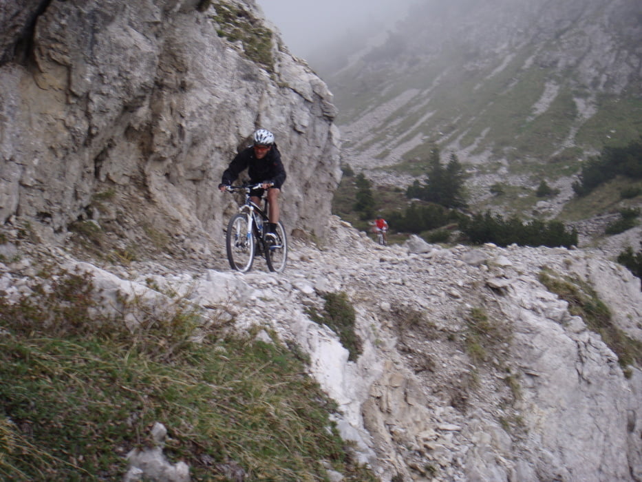
Knackige Tour in herrlich einsamer Berglandschaft zwischen Garda- und Idrosee. Super Bike-Trails beim Monte Caplone. Absolute Traumtour!
Man sollte bei dieser Tour genügend zum Essen und Trinken mitnehmen, da es auf langer Strecke nichts zum Einkehren gibt.
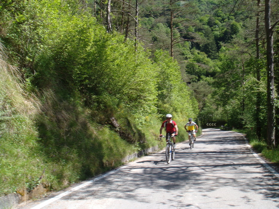
Im Gegensatz zu den anderen Touren am Gardasee trifft man hier kaum andere Mountainbiker.
Galeria trasy


Mapa trasy i profil wysokości
Minimum height 459 m
Maximum height 1857 m
More about the tour author
|
|
Bergziege_Muc |
Komentarze

Von Riva aus an der Gardesana Occidentale Richtung Limone fahren
In Limone (2,0 km nach dem Ortsschild Limone) nach rechts Richtung Tremosine abzweigen und auf der Panoramastrasse bis nach Vesio fahren
Man mündet etwas unterhalb von Vesio an eine weitere Strasse und fährt diese bergauf Ri. "Tignale, Passo Nota, Vesio". Nach ca. 1km im Ort geradeaus Ri. Tignale und der Strasse bis zur Molkerei "Alpe del Garda" folgen. Hier gibt es auf der linken Seite ca. 170m weiter eine Parkmöglichkeit.
GPS tracks
Trackpoints-
GPX / Garmin Map Source (gpx) download
-
TCX / Garmin Training Center® (tcx) download
-
CRS / Garmin Training Center® (crs) download
-
Google Earth (kml) download
-
G7ToWin (g7t) download
-
TTQV (trk) download
-
Overlay (ovl) download
-
Fugawi (txt) download
-
Kompass (DAV) Track (tk) download
-
Karta trasy (pdf) download
-
Original file of the author (gpx) download
More about the tour author
|
|
Bergziege_Muc |
Add to my favorites
Remove from my favorites
Edit tags
Open track
My score
Rate