Login

Zapomniałeś swój login?

Cookies have to be accepted!
Your browser's cookie functionality is disabled. Please enable this functionality.

Not a member yet?

Register now
Login

Available for registred users only

Log in to use this feature.

Zapomniałeś swój login?

Cookies have to be accepted!
Your browser's cookie functionality is disabled. Please enable this functionality.

Not a member yet?

Register now
Filter
Kategorie
Advanced filters
  • Długość (km)
  • Wysokość
Zapisz filtr Reset filter

TrackRank

QRCode

Technical data

Długość125,3 km Wysokość679 m Way down611 m Czas trwania3 days 0 h Data09.06.2010
Oceny Author Krajobraz Czynnik zadowolenia Kondycja Technika

Statystyka

426 Widoki Oceny 80 Downloads / Pliki do pobrania Przeciętnie
Rate
  • Karta trasy
  • Dojazd
  • Downloads / Pliki do pobrania

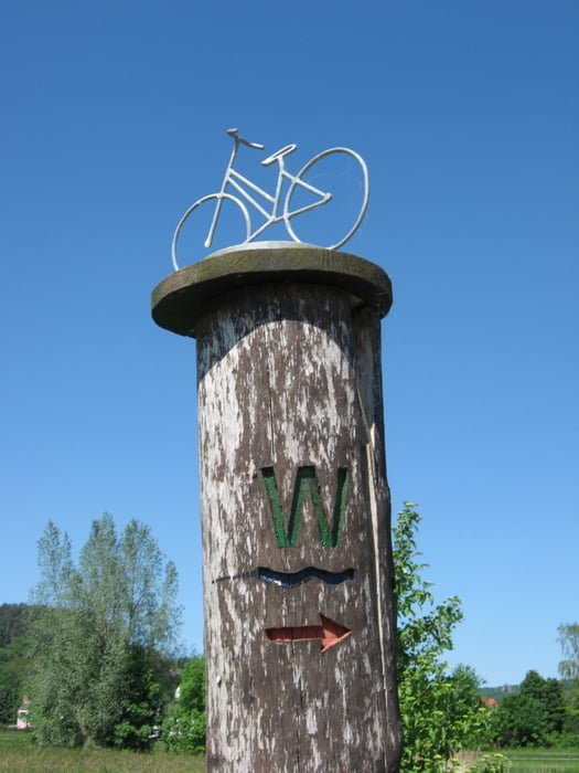
Eine Familientour am Unterlauf der Werra. Bis auf sehr wenige Streckenabschnitte an wenig befahrenen Straßen meist auf Feld- oder Radwegen.

Gleichzeitig eine Reise in die deutsche Geschichte: der Radweg wechselt (wie der Fluss) häufig von Hessen nach Thüringen und zurück, also auch zwischen dem ehemaligen Ost- und Westdeutschland hin und her. Viele Orte lagen jahrzehntelang direkt an der Grenze. In Bad Sooden-Allendorf lohnt sich ein Besuch des Grenzmuseums Schifflersgrund (http://www.grenzmuseum.de/).

Außerdem verläuft die dt. Fachwerkstraße teilweise durch das Werratal - sehr schön anzusehen !

Further information at

http://de.wikipedia.org/wiki/Werratal-Radweg

Galeria trasy

Mapa trasy i profil wysokości

  • Open Street Map
  • Google
Minimum height 100 m Maximum height 304 m Widok szczegółowy

More about the tour author

cmueli
Member since 2007

Send private message

Komentarze

Bahnhöfe in Hann. Münden und Herleshausen werden von Nahverkehrszüge angefahren, von dort aus besteht Anschluß an Fernzüge in Kassel, Bebra, Eisenach.

GPS tracks

Trackpoints
  • GPX / Garmin Map Source (gpx) download
  • TCX / Garmin Training Center® (tcx) download
  • CRS / Garmin Training Center® (crs) download
  • Google Earth (kml) download
  • G7ToWin (g7t) download
  • TTQV (trk) download
  • Overlay (ovl) download
  • Fugawi (txt) download
  • Kompass (DAV) Track (tk) download
  • Karta trasy (pdf) download
  • Original file of the author (gpx) download

More about the tour author

cmueli
Member since 2007

Send private message
Share track
Add to my favorites
Remove from my favorites
Edit tags
My score
Rate
Trasa: Werra Unterlauf
Rodzaj: Trasy rowerowe
Długość: 125,3 km
Evaluated on:
Czas trwania:
Day(s)
Hour(s)
Minute(s)
Ocena: Krajobraz Czynnik zadowolenia Kondycja Technika