


Start / Ziel Parkplatz an der Ortsausfahrt von Brentonico bzw. Parkplatz in Todoi.
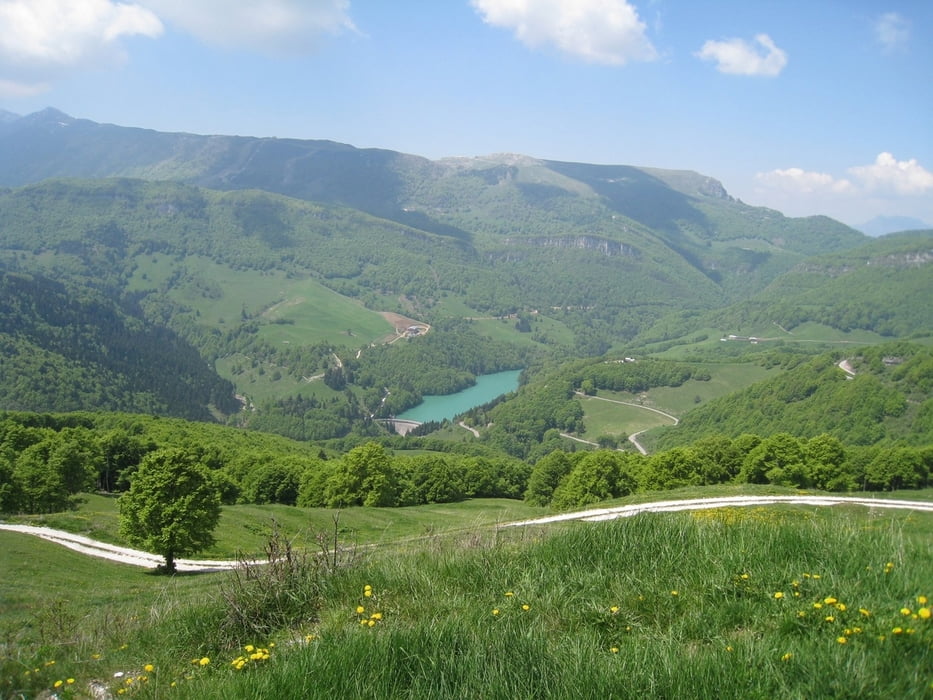
Schöne abwechlungsreiche Runde bei der man die meisten Höhenmeter auf einer Asphaltstraße zurücklegt (sehr wenig befahren). Dann Schotter und über Almwiesen bis zum Aussichtspunkt Corno della Paura (Geschützstellung im ersten Weltkreig) mit herlicher Aussicht über das Etschtal.
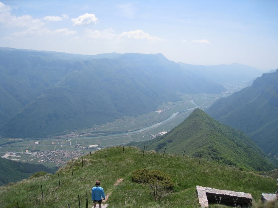
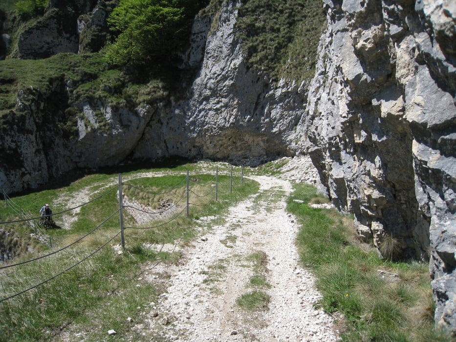
Der rest der Tour fürt über eine alte Kriegsstraße (einige Tunnel) mit sehr guter Aussicht richtung Monte Vignola.
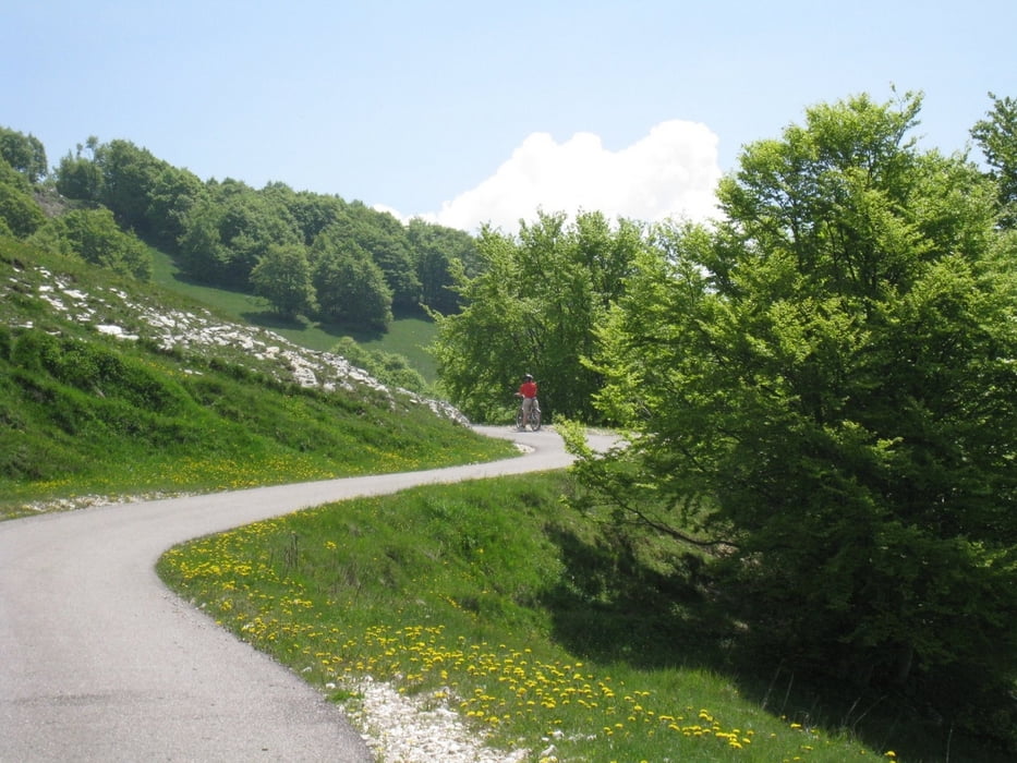
Die Abfahrt ist nicht wirklich schwiering aber landschaftlich sehr schön.
Sehr schöne Tour und Technisch nicht anspruchsvoll.
Galeria trasy
Mapa trasy i profil wysokości
Minimum height 80 m
Maximum height 1556 m
More about the tour author
|
|
HeliBiker |
Komentarze

Vom Gardasee kommend über den Passo San Giovanni bis Mori. Beschilderung nach Brentonico folgen.
Im Ort Todoi parken.
GPS tracks
Trackpoints-
GPX / Garmin Map Source (gpx) download
-
TCX / Garmin Training Center® (tcx) download
-
CRS / Garmin Training Center® (crs) download
-
Google Earth (kml) download
-
G7ToWin (g7t) download
-
TTQV (trk) download
-
Overlay (ovl) download
-
Fugawi (txt) download
-
Kompass (DAV) Track (tk) download
-
Karta trasy (pdf) download
-
Original file of the author (gpx) download
More about the tour author
|
|
HeliBiker |
Add to my favorites
Remove from my favorites
Edit tags
Open track
My score
Rate