Login

Zapomniałeś swój login?

Cookies have to be accepted!
Your browser's cookie functionality is disabled. Please enable this functionality.

Not a member yet?

Register now
Login

Available for registred users only

Log in to use this feature.

Zapomniałeś swój login?

Cookies have to be accepted!
Your browser's cookie functionality is disabled. Please enable this functionality.

Not a member yet?

Register now
Filter
Kategorie
Advanced filters
  • Długość (km)
  • Wysokość
Zapisz filtr Reset filter

TrackRank

QRCode

Technical data

Długość88,5 km Wysokość1810 m Way down1815 m Czas trwania06:00 h:m Data13.06.2010
Oceny Author Krajobraz Czynnik zadowolenia Kondycja Technika

Statystyka

2345 Widoki Oceny 158 Downloads / Pliki do pobrania Przeciętnie
Rate
  • Karta trasy
  • Dojazd
  • Downloads / Pliki do pobrania

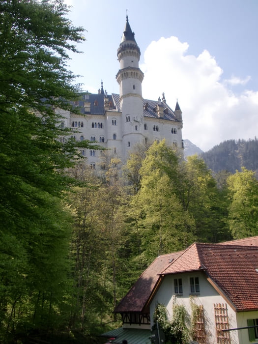
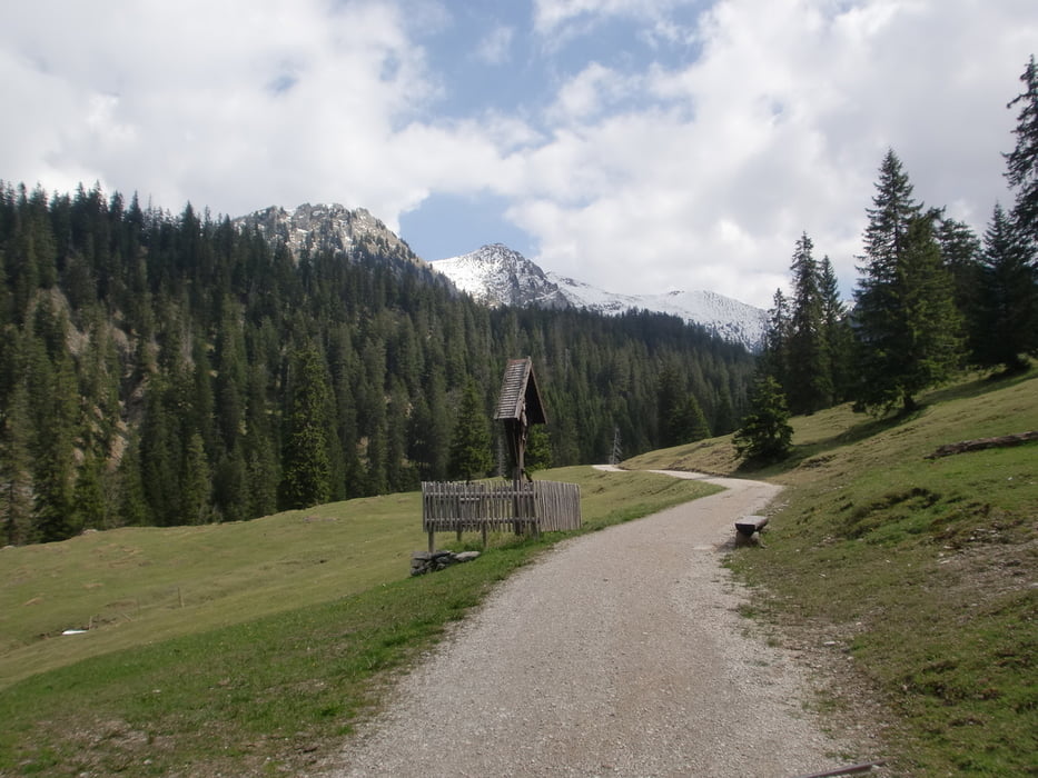
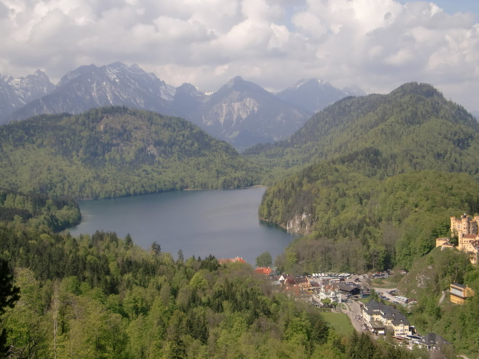
schöne Tagestour "auf König Ludwig´s Spuren" von Wildsteig, Wieskirche, Königsstrasse, Schloß Neuschwanstein, Forsthaus Blekenau, Schützensteig (anspruchsvoller Trail aber Fahrbar) Hotel Ammerwald, Schloß Linderhof li zur Brunnekopf Hütte oder gerade nach Graswang, Oberammergau, Unternogg, Wildsteig. Eine Anspruchsvolle Runde, schöne Ausblicke, super Trails.

Galeria trasy

Mapa trasy i profil wysokości

  • Open Street Map
  • Google
Minimum height 789 m Maximum height 1590 m Widok szczegółowy

More about the tour author

moaritz
Member since 2009

Send private message

Komentarze

GPS tracks

Trackpoints
  • GPX / Garmin Map Source (gpx) download
  • TCX / Garmin Training Center® (tcx) download
  • CRS / Garmin Training Center® (crs) download
  • Google Earth (kml) download
  • G7ToWin (g7t) download
  • TTQV (trk) download
  • Overlay (ovl) download
  • Fugawi (txt) download
  • Kompass (DAV) Track (tk) download
  • Karta trasy (pdf) download
  • Original file of the author (gpx) download

More about the tour author

moaritz
Member since 2009

Send private message
Share track
Add to my favorites
Remove from my favorites
Edit tags
My score
Rate
Trasa: Wildsteig - Schützensteig
Rodzaj: Rower górski (MTB)
Długość: 88,5 km
Evaluated on:
Czas trwania:
Day(s)
Hour(s)
Minute(s)
Ocena: Krajobraz Czynnik zadowolenia Kondycja Technika