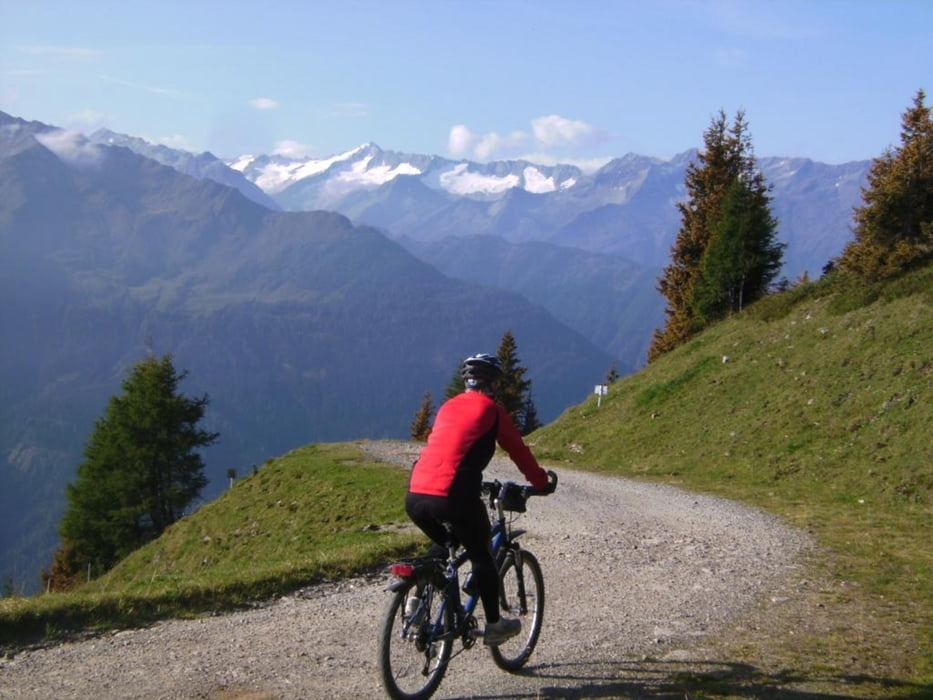
Vorab-Info zur AV-Tour der Gruppe Waging am 31.7./1.8.2010
Start direkt beim Wildkogelhaus, aber nicht den Trail, sondern die bequeme Abfahrt auf der Forststraße nach Bramberg (im Winter längste Rodelbahn der Alpen). Nun befindet man sich im Salzachtal. Von Bramberg nach Neukirchen und mit der Tour „maxi“ über die Filzenscharte zum Gasthaus Jägerhäusel. Nun im Tal bleiben und über Westendorf – Brixen im Tale - Kirchberg zum Auto auf dem PP.
Errechnet wurde ein Höhenunterschied von ca. 1100 Hm.
Further information at
http://www.dav-teisendorf.de/Mapa trasy i profil wysokości
Komentarze

Zufahrt zum PP: Waging Traunstein Autobahn Grabenstätt Marquardstein Kössen Erpfendorf Kitzbühel 86 km, 1:20 Std.
GPS tracks
Trackpoints-
GPX / Garmin Map Source (gpx) download
-
TCX / Garmin Training Center® (tcx) download
-
CRS / Garmin Training Center® (crs) download
-
Google Earth (kml) download
-
G7ToWin (g7t) download
-
TTQV (trk) download
-
Overlay (ovl) download
-
Fugawi (txt) download
-
Kompass (DAV) Track (tk) download
-
Karta trasy (pdf) download
-
Original file of the author (gpx) download

