


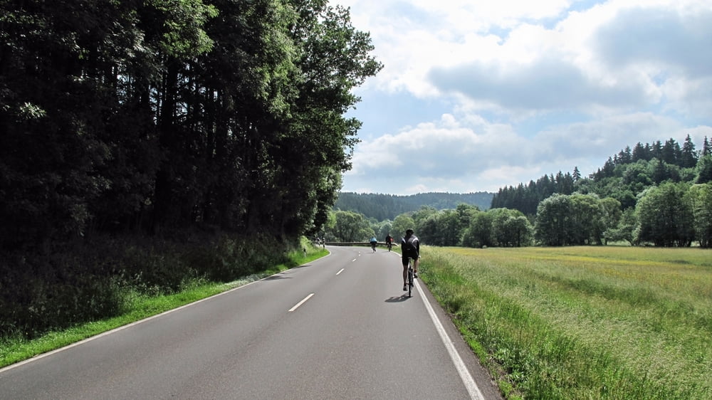
Zwischen Blankenheim und Dümpelfeld wird die Bundesstraße einmal jährlich, diesmal am 13.06.2010 für Autos und Motorräder gesperrt.
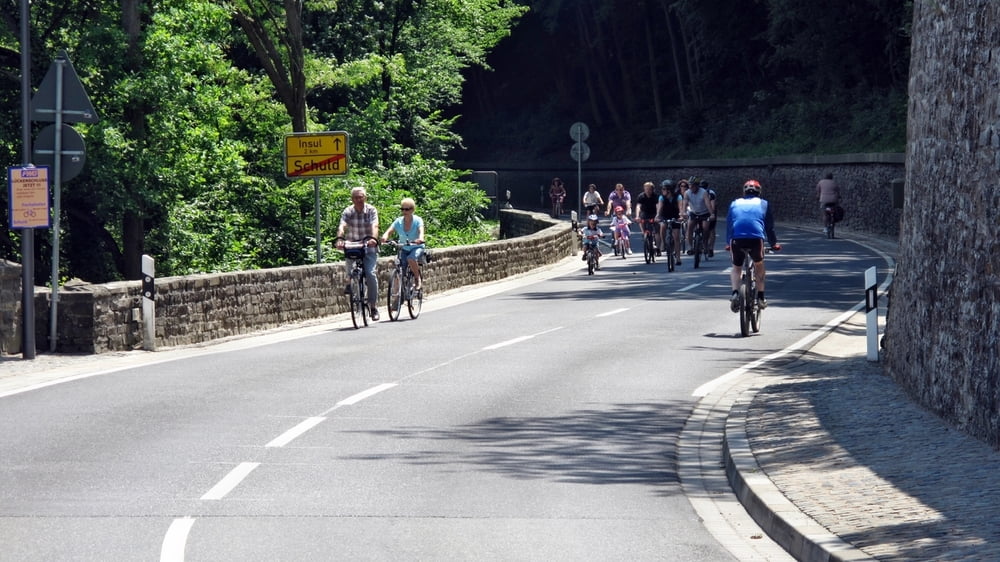
Es gibt zahlreiche Anfahrtsmöglichkeiten und in jedem Dorf kann man nach Belieben Essen, Trinken, Sitzen, Eis genießen oder nur dem Treiben zusehen.
Sehr gut organisiert, und 2010 gab es auch allerbestes Wetter.
Außerhalb der Raderlebnistage empfiehlt es sich nicht, diese Strecke mit dem Fahrrad zu befahren, zu eng, zuviel Verkehr und zuwenig Radwege.
Galeria trasy
Mapa trasy i profil wysokości
Minimum height 228 m
Maximum height 399 m
More about the tour author
|
|
reist99 |
Komentarze
Von Tondorf kommend haben wir uns für Ahrhütte als Start- und Ziel entschieden.
GPS tracks
Trackpoints-
GPX / Garmin Map Source (gpx) download
-
TCX / Garmin Training Center® (tcx) download
-
CRS / Garmin Training Center® (crs) download
-
Google Earth (kml) download
-
G7ToWin (g7t) download
-
TTQV (trk) download
-
Overlay (ovl) download
-
Fugawi (txt) download
-
Kompass (DAV) Track (tk) download
-
Karta trasy (pdf) download
-
Original file of the author (gpx) download
More about the tour author
|
|
reist99 |
Add to my favorites
Remove from my favorites
Edit tags
Open track
My score
Rate
Ahrradweg
das man den Ahrradweg nur am Rad-Erlebnistag fahren sollte ist absoluter Quatsch!!!!
Die Strecke von Blankenheim bis Kripp(Quelle/Mündung ci.85km) ist bis auf 2 Teilstücke (insgesamt 8 km) nur auf Fahrradwegen zu befahren.
An beiden Teilstücken läuft die Planung bzw. am Teilstück Altenahr die Ausführung.
Gruß aus der Eifel