Login

Zapomniałeś swój login?

Cookies have to be accepted!
Your browser's cookie functionality is disabled. Please enable this functionality.

Not a member yet?

Register now
Login

Available for registred users only

Log in to use this feature.

Zapomniałeś swój login?

Cookies have to be accepted!
Your browser's cookie functionality is disabled. Please enable this functionality.

Not a member yet?

Register now
Filter
Kategorie
Advanced filters
  • Długość (km)
  • Wysokość
Zapisz filtr Reset filter

TrackRank

QRCode

Technical data

Długość48,9 km Wysokość864 m Way down1255 m Czas trwania05:00 h:m Data19.06.2010
Oceny Author Krajobraz Czynnik zadowolenia Kondycja Technika

Statystyka

529 Widoki 1 Ocena 47 Downloads / Pliki do pobrania 1.00 Przeciętnie
Rate
  • Karta trasy
  • Dojazd
  • Downloads / Pliki do pobrania

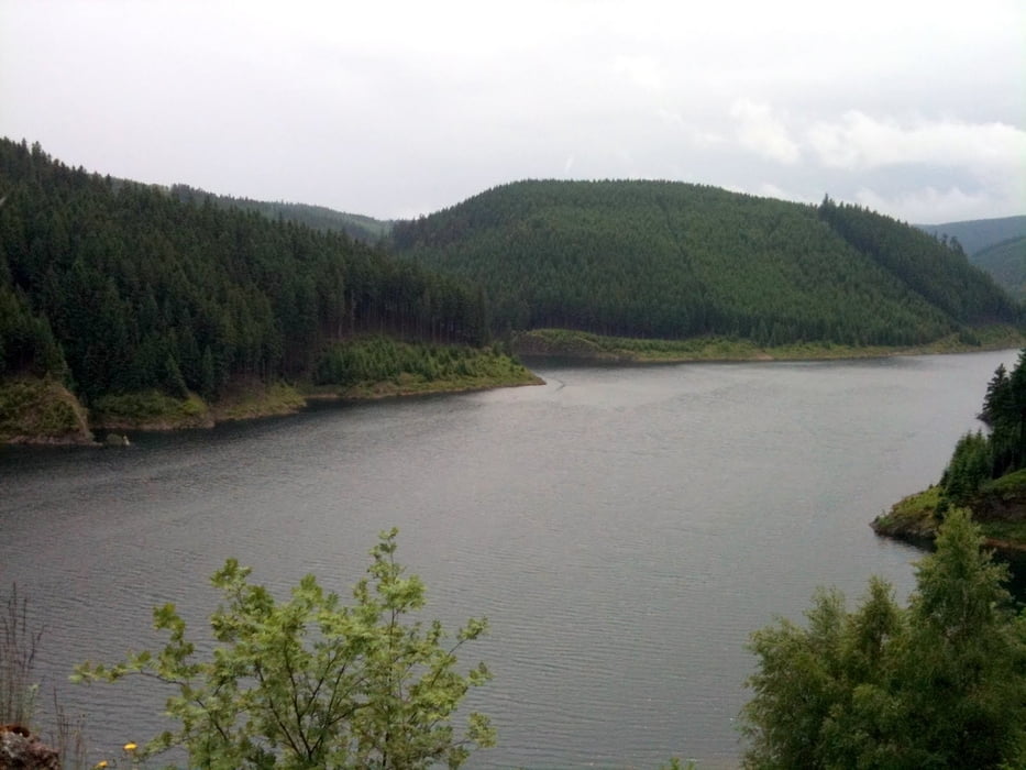
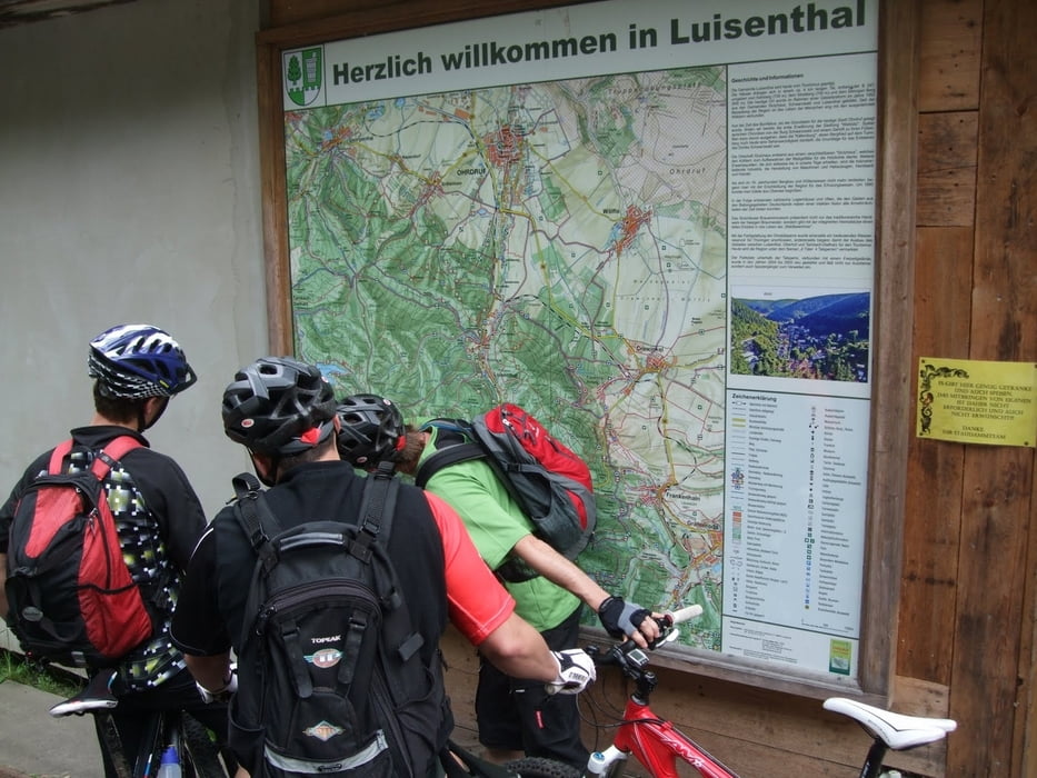
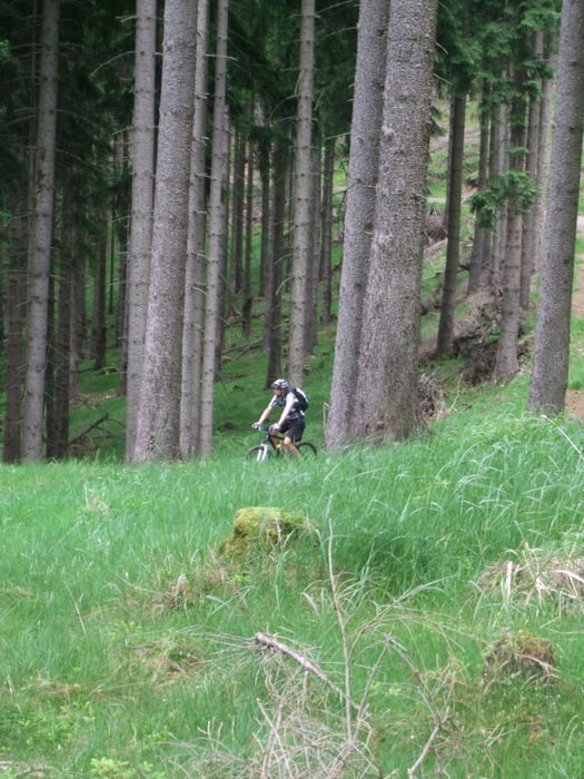
Der zweite Tag unserer Tour durch den Thüringer Wald. Da mein Navi keinen Strom mehr hatte hier die Daten von Martin.

Das gesammte Wochenende war Landschaftlich ein Genuß, das Wetter hat gepasst und die Leute waren alle super drauf.

Leider hatte einer aus dem Team am Ende einen Sturz und wir mussten die Tour mit einem Krankenausaufenthalt beenden. Das hatte dem gesammten Eindruck des Wochenedes aber nicht geschadet.

Ich kann jedem Mountainbiker den Thüringer Wald nur Empfehlen, es ist für jeden etwas dabei.

Galeria trasy

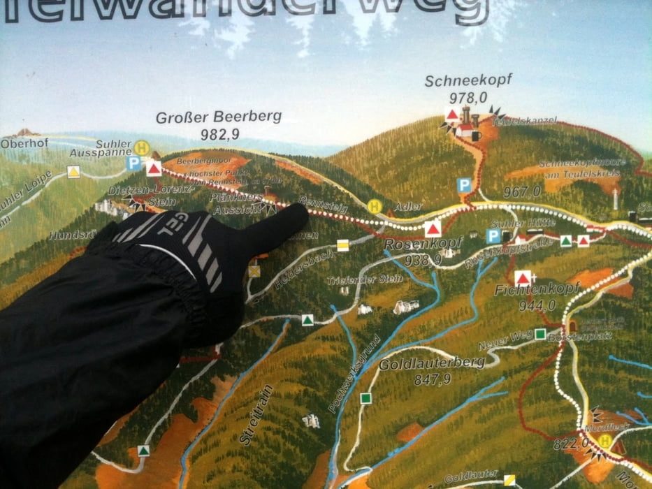
Mapa trasy i profil wysokości

  • Open Street Map
  • Google
Minimum height 87 m Maximum height 978 m Widok szczegółowy

More about the tour author

Wanierke
Member since 2009

Send private message

Komentarze

GPS tracks

Trackpoints
  • GPX / Garmin Map Source (gpx) download
  • TCX / Garmin Training Center® (tcx) download
  • CRS / Garmin Training Center® (crs) download
  • Google Earth (kml) download
  • G7ToWin (g7t) download
  • TTQV (trk) download
  • Overlay (ovl) download
  • Fugawi (txt) download
  • Kompass (DAV) Track (tk) download
  • Karta trasy (pdf) download
  • Original file of the author (gpx) download

More about the tour author

Wanierke
Member since 2009

Send private message
Share track
Add to my favorites
Remove from my favorites
Edit tags
My score
Rate
Trasa: Thüringer Bike Abenteuer - Tag 2
Rodzaj: Rower górski (MTB)
Długość: 48,9 km
Evaluated on:
Czas trwania:
Day(s)
Hour(s)
Minute(s)
Ocena: Krajobraz Czynnik zadowolenia Kondycja Technika