Login

Zapomniałeś swój login?

Cookies have to be accepted!
Your browser's cookie functionality is disabled. Please enable this functionality.

Not a member yet?

Register now
Login

Available for registred users only

Log in to use this feature.

Zapomniałeś swój login?

Cookies have to be accepted!
Your browser's cookie functionality is disabled. Please enable this functionality.

Not a member yet?

Register now
Filter
Kategorie
Advanced filters
  • Długość (km)
  • Wysokość
Zapisz filtr Reset filter

TrackRank

QRCode

Technical data

Długość53,1 km Wysokość1454 m Way down1429 m Czas trwania00:00 h:m Data20.06.2010
Oceny Author Krajobraz Czynnik zadowolenia Kondycja Technika

Statystyka

1094 Widoki Oceny 49 Downloads / Pliki do pobrania Przeciętnie
Rate
  • Karta trasy
  • Dojazd
  • Downloads / Pliki do pobrania

Lörrach - Nasse Küche - Am Gleichen - Lipple - Hochblauen - Sehringen - Schloss Bürgeln - Kandern

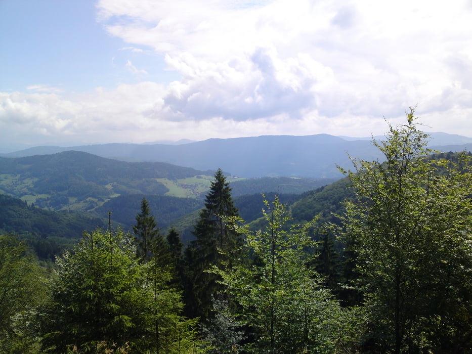
Tolle Aussicht, nette (nicht zu anspruchsvolle) Trails bei der Blauenabfahrt.

!!! Ich musste die Tour leider wegen gerissener Kette in Kandern abrechen:
Die Original Variante der Tour von repairman findet ihr hier:

/de/touren/detail.621.html
 

Further information at

/pl/tracks/detail.621.html

Galeria trasy

Mapa trasy i profil wysokości

  • Open Street Map
  • Google
Minimum height 308 m Maximum height 1150 m Widok szczegółowy

More about the tour author

Falcon7
Member since 2010

Send private message

Komentarze

Start: Lörrach Grüttpark

(Parkplatz St. Peterskirche Grütt)

GPS tracks

Trackpoints
  • GPX / Garmin Map Source (gpx) download
  • TCX / Garmin Training Center® (tcx) download
  • CRS / Garmin Training Center® (crs) download
  • Google Earth (kml) download
  • G7ToWin (g7t) download
  • TTQV (trk) download
  • Overlay (ovl) download
  • Fugawi (txt) download
  • Kompass (DAV) Track (tk) download
  • Karta trasy (pdf) download
  • Original file of the author (gpx) download

More about the tour author

Falcon7
Member since 2010

Send private message
Share track
Add to my favorites
Remove from my favorites
Edit tags
My score
Rate
Trasa: Am Gleichen - Hochblauen - Schloss Bürgeln - Kandern
Rodzaj: Rower górski (MTB)
Długość: 53,1 km
Evaluated on:
Czas trwania:
Day(s)
Hour(s)
Minute(s)
Ocena: Krajobraz Czynnik zadowolenia Kondycja Technika