Login

Zapomniałeś swój login?

Cookies have to be accepted!
Your browser's cookie functionality is disabled. Please enable this functionality.

Not a member yet?

Register now
Login

Available for registred users only

Log in to use this feature.

Zapomniałeś swój login?

Cookies have to be accepted!
Your browser's cookie functionality is disabled. Please enable this functionality.

Not a member yet?

Register now
Filter
Kategorie
Advanced filters
  • Długość (km)
  • Wysokość
Zapisz filtr Reset filter

TrackRank

QRCode

Technical data

Długość29,9 km Wysokość842 m Way down906 m Czas trwania03:00 h:m Data21.06.2010
Oceny Author Krajobraz Czynnik zadowolenia Kondycja Technika

Statystyka

649 Widoki Oceny 61 Downloads / Pliki do pobrania Przeciętnie
Rate
  • Karta trasy
  • Dojazd
  • Downloads / Pliki do pobrania

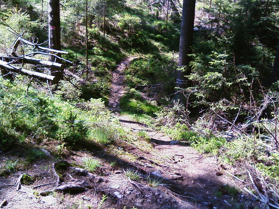
Die Tour beginnt in Goldkronach geht paralel zur Himmelsleiter hoch zur Königsheide am Naturfreundehaus Rügersberg vorbei nach Weidenberg. Von dort weider nach Sophienthal über den W-Weg wieder zur Königsheide, und weiter nach goldkronach zurück.

Der Startpunkt ist auch Zielpunkt, ich hatte nur erst etwas später Empfang, 2 Km fehlen!

Viel Spass.

Mapa trasy i profil wysokości

  • Open Street Map
  • Google
Minimum height 436 m Maximum height 873 m Widok szczegółowy

More about the tour author

berndhuber
Member since 2008

Send private message

Komentarze

A9 Bayreuh>Goldkronach.

GPS tracks

Trackpoints
  • GPX / Garmin Map Source (gpx) download
  • TCX / Garmin Training Center® (tcx) download
  • CRS / Garmin Training Center® (crs) download
  • Google Earth (kml) download
  • G7ToWin (g7t) download
  • TTQV (trk) download
  • Overlay (ovl) download
  • Fugawi (txt) download
  • Kompass (DAV) Track (tk) download
  • Karta trasy (pdf) download
  • Original file of the author (gpx) download

More about the tour author

berndhuber
Member since 2008

Send private message
Share track
Add to my favorites
Remove from my favorites
Edit tags
My score
Rate
Trasa: Die Königsheide
Rodzaj: Rower górski (MTB)
Długość: 29,9 km
Evaluated on:
Czas trwania:
Day(s)
Hour(s)
Minute(s)
Ocena: Krajobraz Czynnik zadowolenia Kondycja Technika