


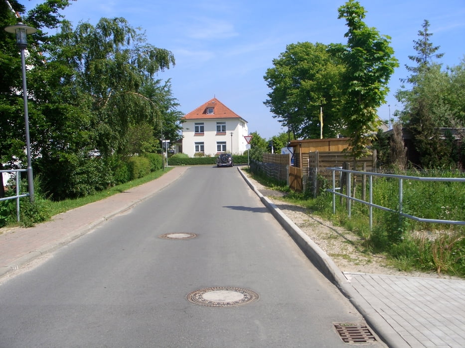
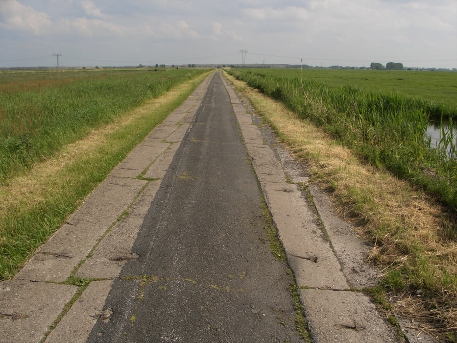
Leider fehlt der erst Teil der Tour von Lübeck aus, da mein Navi voll war und somit überschrieben wurde. Es war eine sehr schöne Strecke , die aber auf Grund er Bodenbeschaffung an die Bereifung doch schon einige Ansprüche stellt. Ich habe mir extra den Conti 4000s geholt und bin trotz Asphalt, trotz Sandstrecken usw. ohne Panne durchgekommen ( Klasse ). Es gibt eine Strecken die man schon umgehen kann ( Strahlsund - Greifswald ) da der Teil über 25-30 Km Holperflaster geht und das dann doch irgendwann nervt, vorallem wenn man bei 5 h Dauerregen fährt. Habe dann doch ab und zu die BBBBBBB gesucht. ( der Tod war aber auch sehr nahe, entweder auf der BBBBBB oder auf Regen und Asphalt und das mit unseren Reifen )
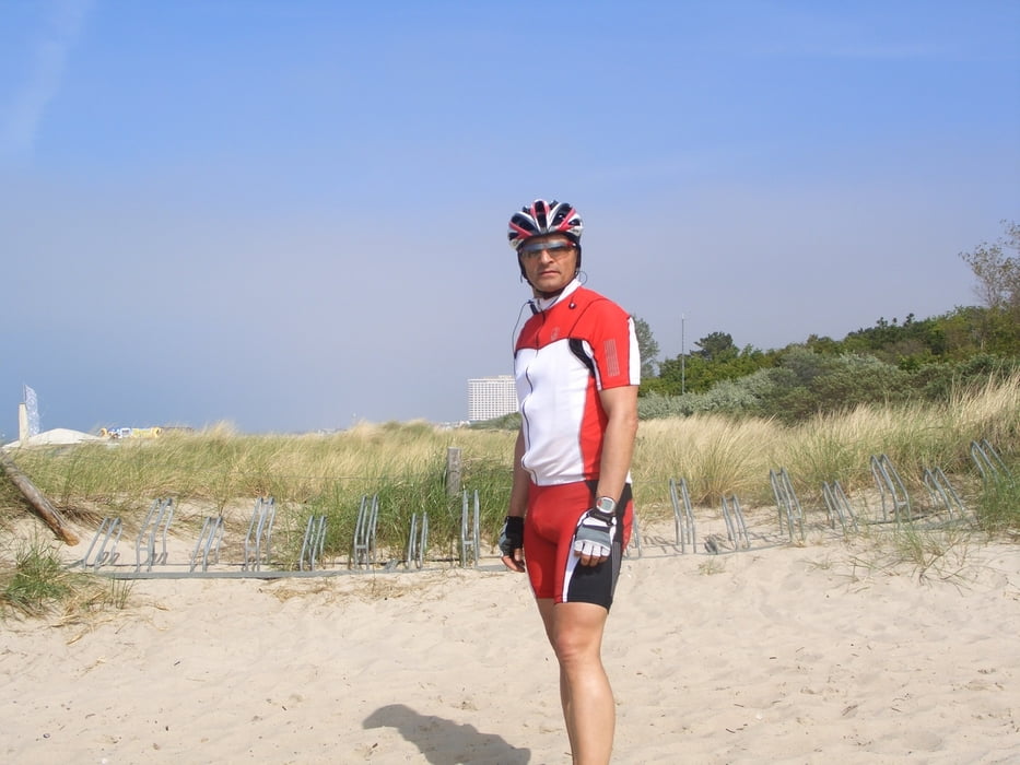
Macht die Tour mal, wenn Zeit und Lust ist . Leider bin ich alleine gefahrenn da mein Bruder mich hängen gelassen hat. Aber wer auch alleine Lust hat, kann ich diese Strecke nur empfehlen. ( Am Tag ist es für einen Radfahrer ok, aber am Abend wäreder eine oder andere Schnack schon ok.
Bis bald Tilman
Galeria trasy

Mapa trasy i profil wysokości
Minimum height -37 m
Maximum height 144 m
More about the tour author
|
|
Milky2911 |
Komentarze

GPS tracks
Trackpoints-
GPX / Garmin Map Source (gpx) download
-
TCX / Garmin Training Center® (tcx) download
-
CRS / Garmin Training Center® (crs) download
-
Google Earth (kml) download
-
G7ToWin (g7t) download
-
TTQV (trk) download
-
Overlay (ovl) download
-
Fugawi (txt) download
-
Kompass (DAV) Track (tk) download
-
Karta trasy (pdf) download
-
Original file of the author (gpx) download
More about the tour author
|
|
Milky2911 |
Add to my favorites
Remove from my favorites
Edit tags
Open track
My score
Rate