
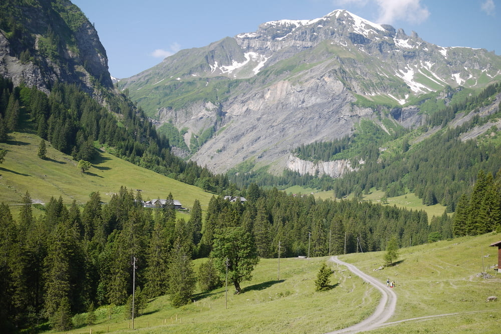

Schöne Wanderung von Vorsiez im Weisstannental nach Engi im Glarner Sernftal.
Alles auf guten Wegen, keine besonderen Anfoderungen. Der Risetenpass bietet eine wunderschöne Aussicht nach allen Seiten.
Die Wegzeiten auf den Wegweisern sind recht gut gerechnet, wir waren schneller (zwei Männer um 60).
Galeria trasy


Mapa trasy i profil wysokości
Minimum height 868 m
Maximum height 2195 m
More about the tour author
|
|
gerosa |
Komentarze

Vorsicht, der Postbus fährt nur im Sommer an Wochenenden von Sargans bis nach Vorsiez. Müsste man den Weg ab Weisstannen gehen, verlängert sich die Tour um gut eine Stunde (alles auf dem Asphaltsträsschen...
GPS tracks
Trackpoints-
GPX / Garmin Map Source (gpx) download
-
TCX / Garmin Training Center® (tcx) download
-
CRS / Garmin Training Center® (crs) download
-
Google Earth (kml) download
-
G7ToWin (g7t) download
-
TTQV (trk) download
-
Overlay (ovl) download
-
Fugawi (txt) download
-
Kompass (DAV) Track (tk) download
-
Karta trasy (pdf) download
-
Original file of the author (gpx) download
More about the tour author
|
|
gerosa |
Add to my favorites
Remove from my favorites
Edit tags
Open track
My score
Rate