Login

Zapomniałeś swój login?

Cookies have to be accepted!
Your browser's cookie functionality is disabled. Please enable this functionality.

Not a member yet?

Register now
Login

Available for registred users only

Log in to use this feature.

Zapomniałeś swój login?

Cookies have to be accepted!
Your browser's cookie functionality is disabled. Please enable this functionality.

Not a member yet?

Register now
Filter
Kategorie
Advanced filters
  • Długość (km)
  • Wysokość
Zapisz filtr Reset filter

TrackRank

QRCode

Technical data

Długość36,0 km Wysokość533 m Way down533 m Czas trwania01:30 h:m Data27.06.2010
Oceny Author User Krajobraz Czynnik zadowolenia Kondycja Technika

Statystyka

415 Widoki 4 Oceny 73 Downloads / Pliki do pobrania 3.75 Przeciętnie
Rate
  • Karta trasy
  • Dojazd
  • Downloads / Pliki do pobrania

Traumhaft schöne Trainingsrunde im Neckar-, Fils- und Remstal. Ideal auch um nach Feierabend noch etwas auf dem Rad zu entspannen.

Es geht auf wenig befahrenen Straßen durch den Schurwald und durch Weinberge im Remstal. Krönung ist die Abfahrt nach Schnait bei der man die Landschaft voll genießen kann.
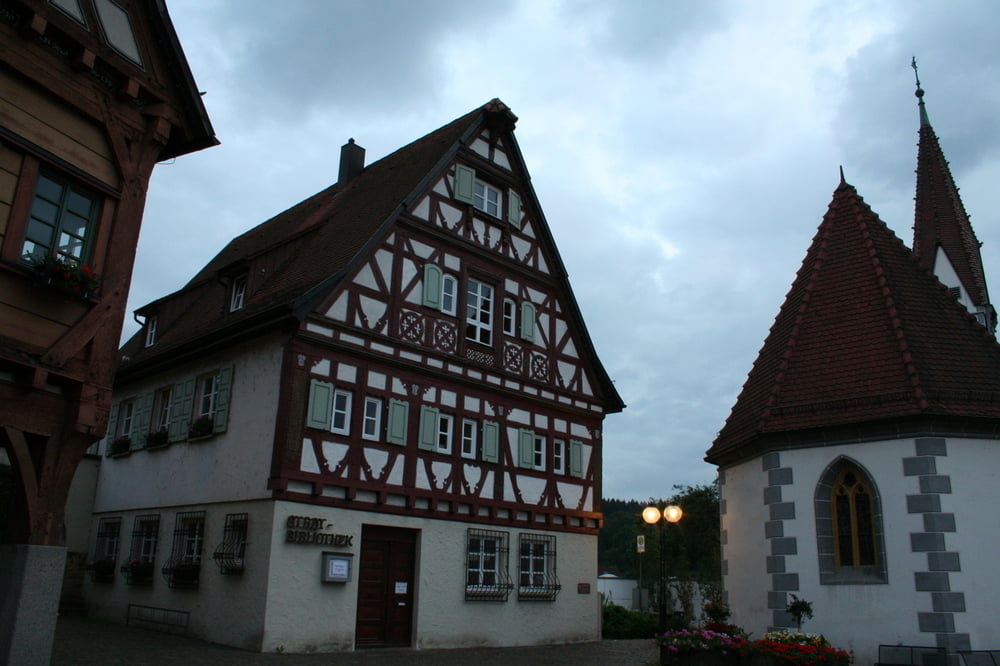
Galeria trasy

Mapa trasy i profil wysokości

  • Open Street Map
  • Google
Minimum height 240 m Maximum height 494 m Widok szczegółowy

More about the tour author

silverbeetle
Member since 2010

Send private message

Komentarze

gps-tour_info on 27.06.2010

super Training

Eignet sich wirklich gut als Haustrainingsrunde.
leifsen on 27.08.2013

Schöne Runde

Bin die Tour heute gefahren und kann sie definitiv weiterempfehlen. In Reichenbach und Lichtenwald sind grad einige Baustellen, man kommt jedoch mit sehr kurzen Umfahrungen wieder auf die Strecke.
Vielen Dank fürs Teilen, wirklich schöne Strecke!

Beispielsweise mit der S1 Richtung Kirchheim/Teck bis Plochingen

GPS tracks

Trackpoints
  • GPX / Garmin Map Source (gpx) download
  • TCX / Garmin Training Center® (tcx) download
  • CRS / Garmin Training Center® (crs) download
  • Google Earth (kml) download
  • G7ToWin (g7t) download
  • TTQV (trk) download
  • Overlay (ovl) download
  • Fugawi (txt) download
  • Kompass (DAV) Track (tk) download
  • Karta trasy (pdf) download
  • Original file of the author (gpx) download

More about the tour author

silverbeetle
Member since 2010

Send private message
Share track
Add to my favorites
Remove from my favorites
Edit tags
My score
Rate
Trasa: Trainingsrunde um Plochingen, Reichenbach, Schnait & Aichwald
Rodzaj: Rower szosowy
Długość: 36,0 km
Evaluated on:
Czas trwania:
Day(s)
Hour(s)
Minute(s)
Ocena: Krajobraz Czynnik zadowolenia Kondycja Technika