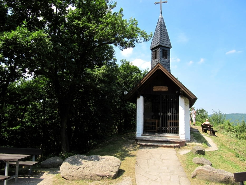
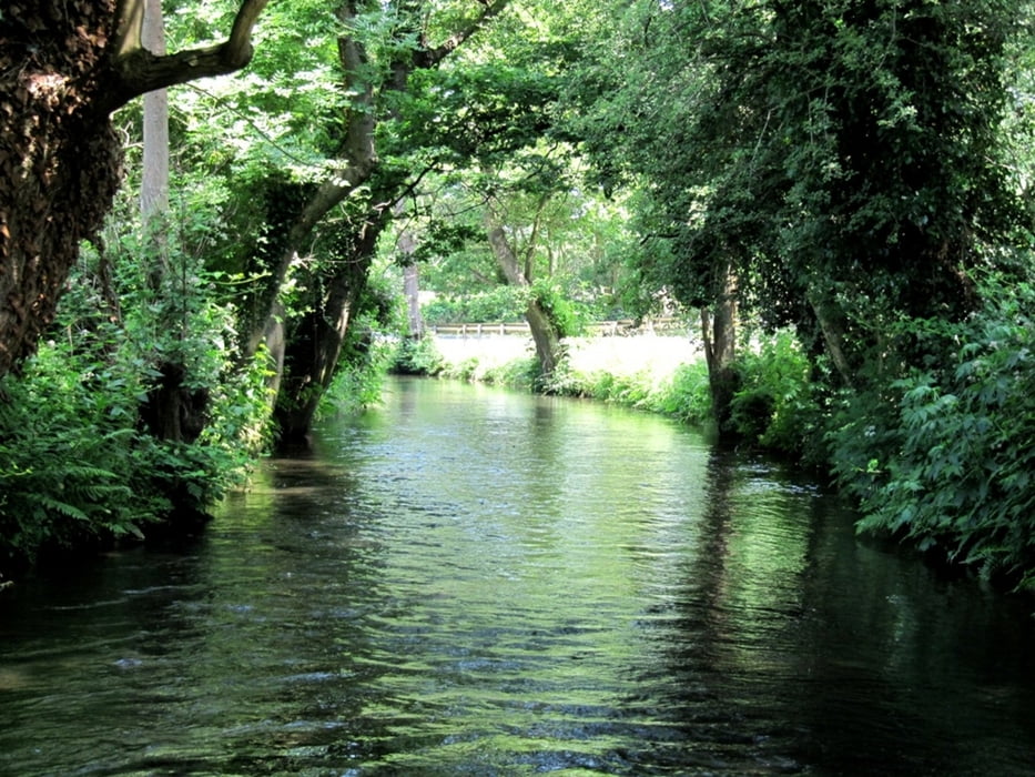
Die Tour ist von der Landschaft sehr gemischt, mal Feld, mal durch sehr schöne Waldstücke.
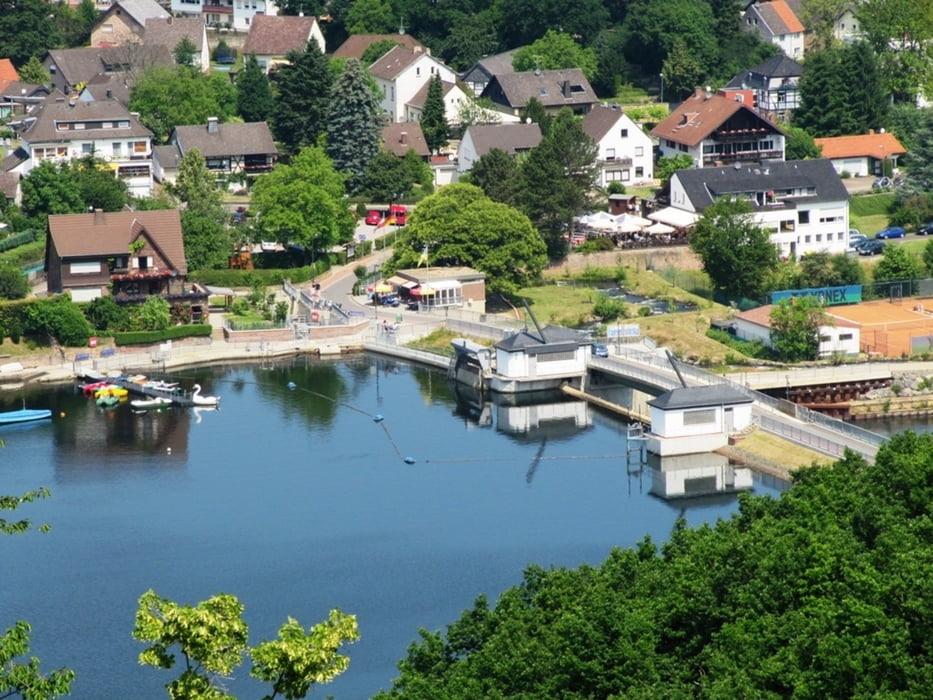
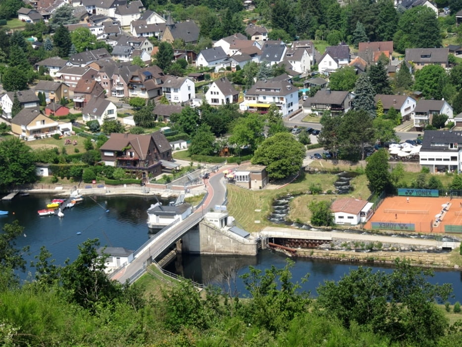
In Obermaubach am Stausee kann man sehr schön Rast machen.
Further information at
http://de.maps.yahoo.com/#mvt=m&lat=50.81237&lon=6.55389&zoom=11&q1=GirbelsrathGaleria trasy
Mapa trasy i profil wysokości
Minimum height 73 m
Maximum height 401 m
Komentarze

GPS tracks
Trackpoints-
GPX / Garmin Map Source (gpx) download
-
TCX / Garmin Training Center® (tcx) download
-
CRS / Garmin Training Center® (crs) download
-
Google Earth (kml) download
-
G7ToWin (g7t) download
-
TTQV (trk) download
-
Overlay (ovl) download
-
Fugawi (txt) download
-
Kompass (DAV) Track (tk) download
-
Karta trasy (pdf) download
-
Original file of the author (gpx) download
Add to my favorites
Remove from my favorites
Edit tags
Open track
My score
Rate

