Login

Zapomniałeś swój login?

Cookies have to be accepted!
Your browser's cookie functionality is disabled. Please enable this functionality.

Not a member yet?

Register now
Login

Available for registred users only

Log in to use this feature.

Zapomniałeś swój login?

Cookies have to be accepted!
Your browser's cookie functionality is disabled. Please enable this functionality.

Not a member yet?

Register now
Filter
Kategorie
Advanced filters
  • Długość (km)
  • Wysokość
Zapisz filtr Reset filter

TrackRank

QRCode

Technical data

Długość57,7 km Wysokość588 m Way down590 m Czas trwania00:00 h:m Data04.12.2006
Oceny Author Krajobraz Czynnik zadowolenia Kondycja Technika

Statystyka

825 Widoki Oceny 138 Downloads / Pliki do pobrania Przeciętnie
Rate
  • Karta trasy
  • Dojazd
  • Downloads / Pliki do pobrania
Start am Wanderparkplatz „Hinterm Holländersch Garten“.Die Tour verläuft fast nur über befestigte Radwege und wenig befahrene Nebenstraßen. Ausnahmen von Irmgarteichen bis Rudersdorf, und Abzwg. Siegen-Bürbach bis Abzwg. Siegen-Hain.Übernachtungsmöglichkeit www.fewo-kraemer.de

Further information at
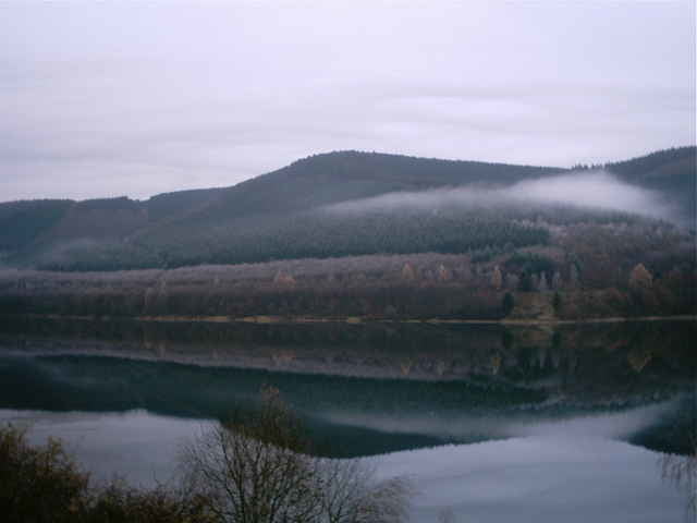
http://www.fewo-kraemer.de

Galeria trasy

Mapa trasy i profil wysokości

  • Open Street Map
  • Google
Minimum height 245 m Maximum height 663 m Widok szczegółowy

More about the tour author

hirtemann

Komentarze

A45 Ausfahrt Wilnsdorf / Richtung Wilnsdorf-Rudersdorf-Hainchen. In Hainchen hinter dem Gasthof /Pizzeria links Richtung Wanderparkplatz abbiegen

GPS tracks

Trackpoints
  • GPX / Garmin Map Source (gpx) download
  • TCX / Garmin Training Center® (tcx) download
  • CRS / Garmin Training Center® (crs) download
  • Google Earth (kml) download
  • G7ToWin (g7t) download
  • TTQV (trk) download
  • Overlay (ovl) download
  • Fugawi (txt) download
  • Kompass (DAV) Track (tk) download
  • Karta trasy (pdf) download
  • Original file of the author (gpx) download

More about the tour author

hirtemann

Share track
Add to my favorites
Remove from my favorites
Edit tags
My score
Rate
Trasa: Weistal-Siegtal-Forsthaus Hohenroth
Rodzaj: Rower trekkingowy
Długość: 57,7 km
Evaluated on:
Czas trwania:
Day(s)
Hour(s)
Minute(s)
Ocena: Krajobraz Czynnik zadowolenia Kondycja Technika