Login

Zapomniałeś swój login?

Cookies have to be accepted!
Your browser's cookie functionality is disabled. Please enable this functionality.

Not a member yet?

Register now
Login

Available for registred users only

Log in to use this feature.

Zapomniałeś swój login?

Cookies have to be accepted!
Your browser's cookie functionality is disabled. Please enable this functionality.

Not a member yet?

Register now
Filter
Kategorie
Advanced filters
  • Długość (km)
  • Wysokość
Zapisz filtr Reset filter

TrackRank

QRCode

Technical data

Długość67,3 km Wysokość859 m Way down870 m Czas trwania05:00 h:m Data29.06.2010
Oceny Author Krajobraz Czynnik zadowolenia Kondycja Technika

Statystyka

291 Widoki 1 Ocena 41 Downloads / Pliki do pobrania 1.00 Przeciętnie
Rate
  • Karta trasy
  • Dojazd
  • Downloads / Pliki do pobrania

Über die schöne Stadt Lohr am Main geht es auf humanen Wegen nach Partenstein. Hier ist eine kleine Tragestrecke über ein paar Treppen zur alten Burgruine (alternativ kann man auch Straßen benutzen). Weiter durch die Berge und Wälder auf mehr oder weniger guten Wegen Nach Rothenfels.
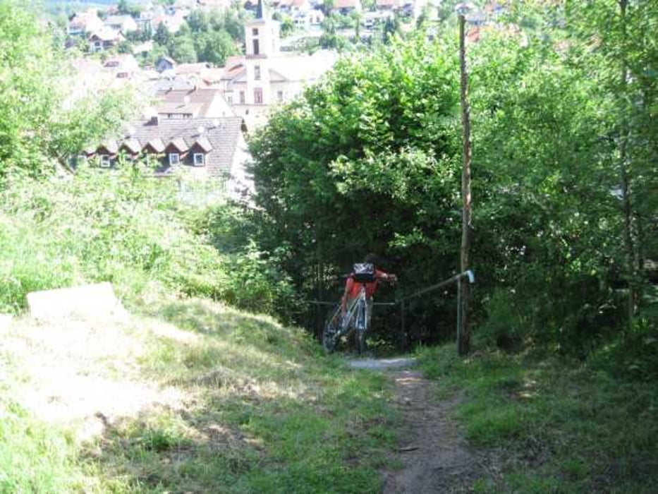
Galeria trasy

Mapa trasy i profil wysokości

  • Open Street Map
  • Google
Minimum height 153 m Maximum height 447 m Widok szczegółowy

More about the tour author

tazzo
Member since 2009

Send private message

Komentarze

snooopy2 on 05.09.2010

Bin die Tour abgefahren

Hi,

also nach meiner Ansicht ist bei einem Anteil von 70%Teer (viel Landtrasse) und 25% Schotter von einer MTB Tour kaum zu reden. Sorry...war enttäuscht.

Grüße
Snooopy

Sorry, habe es jetzt auf "Normaltour" gesetzt. Allerdings ist sie für einen Normalo doch recht schweißtreibend und die steilen Anstiege sind nicht jedermann/frau Geschmack. Meine Begleiterin hatte schon sehr zu kämpfen.

Von der BAB 3 nach Marktheidenfeld und weiter nach Ansbach. Von hier aus bis nach Erlach auf kleinen Straßen bis nach Erlach. Ein guter Stützpunkt ist der Bauernhof Maintalhof.de

GPS tracks

Trackpoints
  • GPX / Garmin Map Source (gpx) download
  • TCX / Garmin Training Center® (tcx) download
  • CRS / Garmin Training Center® (crs) download
  • Google Earth (kml) download
  • G7ToWin (g7t) download
  • TTQV (trk) download
  • Overlay (ovl) download
  • Fugawi (txt) download
  • Kompass (DAV) Track (tk) download
  • Karta trasy (pdf) download
  • Original file of the author (gpx) download

More about the tour author

tazzo
Member since 2009

Send private message
Share track
Add to my favorites
Remove from my favorites
Edit tags
My score
Rate
Trasa: Neustadt/Erlach am Spessart
Rodzaj: Trasy rowerowe
Długość: 67,3 km
Evaluated on:
Czas trwania:
Day(s)
Hour(s)
Minute(s)
Ocena: Krajobraz Czynnik zadowolenia Kondycja Technika