Login

Zapomniałeś swój login?

Cookies have to be accepted!
Your browser's cookie functionality is disabled. Please enable this functionality.

Not a member yet?

Register now
Login

Available for registred users only

Log in to use this feature.

Zapomniałeś swój login?

Cookies have to be accepted!
Your browser's cookie functionality is disabled. Please enable this functionality.

Not a member yet?

Register now
Filter
Kategorie
Advanced filters
  • Długość (km)
  • Wysokość
Zapisz filtr Reset filter

TrackRank

QRCode

Technical data

Długość67,8 km Wysokość2474 m Way down2633 m Czas trwania1 day 0 h Data01.07.2010
Oceny Author Krajobraz Czynnik zadowolenia Kondycja Technika

Statystyka

361 Widoki Oceny 37 Downloads / Pliki do pobrania Przeciętnie
Rate
  • Karta trasy
  • Dojazd
  • Downloads / Pliki do pobrania

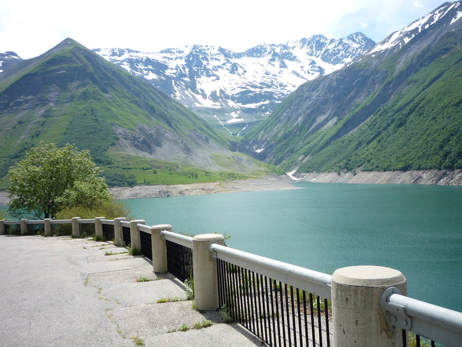
4. Tag einer sechstägigen Etappenfahrt über die bekanntesten Alpenpässe der Tour de France.

Von Bourg d'Oisans über Col du Glandon und Col de la Croix de Fer nach St. Jean-de-Maurienne.

Vielleicht die schwerste Etappe, das 'Eisenkreuz' macht es einem nicht leicht.

Galeria trasy

Mapa trasy i profil wysokości

  • Open Street Map
  • Google
Minimum height 561 m Maximum height 2072 m Widok szczegółowy

More about the tour author

anh2010
Member since 2010

Send private message

Komentarze

Bourg d'Oisans, Rochetaillee, Allemond, col du Glandon, Col de la Croix de Fer, St.-Jean-de-Maurienne

GPS tracks

Trackpoints
  • GPX / Garmin Map Source (gpx) download
  • TCX / Garmin Training Center® (tcx) download
  • CRS / Garmin Training Center® (crs) download
  • Google Earth (kml) download
  • G7ToWin (g7t) download
  • TTQV (trk) download
  • Overlay (ovl) download
  • Fugawi (txt) download
  • Kompass (DAV) Track (tk) download
  • Karta trasy (pdf) download
  • Original file of the author (gpx) download

More about the tour author

anh2010
Member since 2010

Send private message
Share track
Add to my favorites
Remove from my favorites
Edit tags
My score
Rate
Trasa: Col de la Croix de Fer
Rodzaj: Rower szosowy
Długość: 67,8 km
Evaluated on:
Czas trwania:
Day(s)
Hour(s)
Minute(s)
Ocena: Krajobraz Czynnik zadowolenia Kondycja Technika