Login

Zapomniałeś swój login?

Cookies have to be accepted!
Your browser's cookie functionality is disabled. Please enable this functionality.

Not a member yet?

Register now
Login

Available for registred users only

Log in to use this feature.

Zapomniałeś swój login?

Cookies have to be accepted!
Your browser's cookie functionality is disabled. Please enable this functionality.

Not a member yet?

Register now
Filter
Kategorie
Advanced filters
  • Długość (km)
  • Wysokość
Zapisz filtr Reset filter

TrackRank

QRCode

Technical data

Długość88,8 km Wysokość1157 m Way down1162 m Czas trwania00:00 h:m Data02.07.2010
Oceny Author Krajobraz Czynnik zadowolenia Kondycja Technika

Statystyka

1205 Widoki Oceny 161 Downloads / Pliki do pobrania Przeciętnie
Rate
  • Karta trasy
  • Dojazd
  • Downloads / Pliki do pobrania

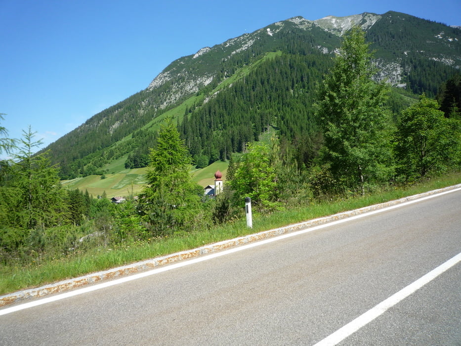
Ein Muss: das idyllische Namloser Tal !

Wo sich Tirol und Allgäu treffen, liegt hoch in den Bergen auf Tiroler Seite das Tannheimer Tal. Ein perfekter Standort für Touren, die Hochgebirge und Voralpenland mischen.

Klasse Runde, kann man nicht beschreiben - selbst fahren!


Start Tannheim beim Bogner Hof!

Further information at

http://www.tour-magazin.de/?p=6562

Galeria trasy

Mapa trasy i profil wysokości

  • Open Street Map
  • Google
Minimum height 861 m Maximum height 1353 m Widok szczegółowy

More about the tour author

FLU
Member since 2009

Send private message

Komentarze

GPS tracks

Trackpoints
  • GPX / Garmin Map Source (gpx) download
  • TCX / Garmin Training Center® (tcx) download
  • CRS / Garmin Training Center® (crs) download
  • Google Earth (kml) download
  • G7ToWin (g7t) download
  • TTQV (trk) download
  • Overlay (ovl) download
  • Fugawi (txt) download
  • Kompass (DAV) Track (tk) download
  • Karta trasy (pdf) download
  • Original file of the author (gpx) download

More about the tour author

FLU
Member since 2009

Send private message
Share track
Add to my favorites
Remove from my favorites
Edit tags
My score
Rate
Trasa: Tannheimer Tal 3 " Namloser Tal"
Rodzaj: Rower szosowy
Długość: 88,8 km
Evaluated on:
Czas trwania:
Day(s)
Hour(s)
Minute(s)
Ocena: Krajobraz Czynnik zadowolenia Kondycja Technika