Login

Zapomniałeś swój login?

Cookies have to be accepted!
Your browser's cookie functionality is disabled. Please enable this functionality.

Not a member yet?

Register now
Login

Available for registred users only

Log in to use this feature.

Zapomniałeś swój login?

Cookies have to be accepted!
Your browser's cookie functionality is disabled. Please enable this functionality.

Not a member yet?

Register now
Filter
Kategorie
Advanced filters
  • Długość (km)
  • Wysokość
Zapisz filtr Reset filter

TrackRank

QRCode

Technical data

Długość72,7 km Wysokość1244 m Way down1171 m Czas trwania05:00 h:m Data10.07.2010
Oceny Author Krajobraz Czynnik zadowolenia Kondycja Technika

Statystyka

3042 Widoki Oceny 214 Downloads / Pliki do pobrania Przeciętnie
Rate
  • Karta trasy
  • Dojazd
  • Downloads / Pliki do pobrania

Start am nassen Dreieck bei Hörstel.

Umkehrpunkt ist die Waldgaststätte Malepartus bei Bad Iburg.
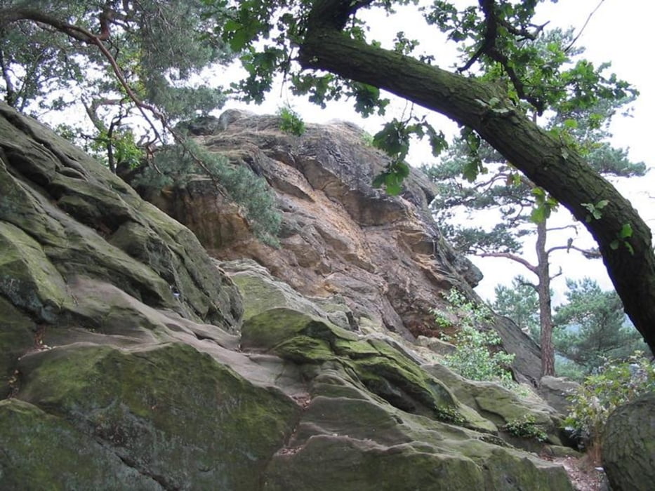
Galeria trasy

Mapa trasy i profil wysokości

  • Open Street Map
  • Google
Minimum height 29 m Maximum height 254 m Widok szczegółowy

More about the tour author

andyderbiker
Member since 2009

Send private message

Komentarze

Über die A30 Abfahrt Hörstel. Wanderparkplatz am nassen Dreieck.

GPS tracks

Trackpoints
  • GPX / Garmin Map Source (gpx) download
  • TCX / Garmin Training Center® (tcx) download
  • CRS / Garmin Training Center® (crs) download
  • Google Earth (kml) download
  • G7ToWin (g7t) download
  • TTQV (trk) download
  • Overlay (ovl) download
  • Fugawi (txt) download
  • Kompass (DAV) Track (tk) download
  • Karta trasy (pdf) download
  • Original file of the author (gpx) download

More about the tour author

andyderbiker
Member since 2009

Send private message
Share track
Add to my favorites
Remove from my favorites
Edit tags
My score
Rate
Trasa: Hermannsweg Nasses Dreieck - Malepartus
Rodzaj: Rower górski (MTB)
Długość: 72,7 km
Evaluated on:
Czas trwania:
Day(s)
Hour(s)
Minute(s)
Ocena: Krajobraz Czynnik zadowolenia Kondycja Technika