Login

Zapomniałeś swój login?

Cookies have to be accepted!
Your browser's cookie functionality is disabled. Please enable this functionality.

Not a member yet?

Register now
Login

Available for registred users only

Log in to use this feature.

Zapomniałeś swój login?

Cookies have to be accepted!
Your browser's cookie functionality is disabled. Please enable this functionality.

Not a member yet?

Register now
Filter
Kategorie
Advanced filters
  • Długość (km)
  • Wysokość
Zapisz filtr Reset filter

TrackRank

QRCode

Technical data

Długość41,6 km Wysokość822 m Way down815 m Czas trwania03:00 h:m Data23.12.2006
Oceny Author User Krajobraz Czynnik zadowolenia Kondycja Technika

Statystyka

1258 Widoki 3 Oceny 191 Downloads / Pliki do pobrania 3.67 Przeciętnie
Rate
  • Karta trasy
  • Dojazd
  • Downloads / Pliki do pobrania
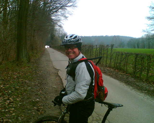
Wir starten in MH Selbeck Beim Tennisclub auf der Stooter Str. (alternativ kann man in Essen Werden am Bahnhof starten). Wir biken ins Ruhrtal,wieder raus und wieder rein. Dann über Kettwig nach MH- Ickten. Über die Straußenfarm ins Wolfsbachtal und dann nach Werden. In Richtung Jugendherberge über den Timpen nach Öfte. Dann über Hösel wieder nach MH Selbeck.

Mapa trasy i profil wysokości

  • Open Street Map
  • Google
Minimum height 41 m Maximum height 185 m Widok szczegółowy

More about the tour author

Slayer
Member since 2006

Send private message

Komentarze

Timo Weismüller on 03.01.2007

Bin heute die Tour gefahren. Echt klasse!!!
Captain on 14.01.2007

Schöne Runde

Sind heute diese eigentlich sehr schöne Runde durch Mülheim und Umgebung gefahren. Allerdings war der Asphaltanteil für unseren Geschmack zu hoch und der Weg an der Ruhr in Kettwig ist Sonntags und bei schönem Wetter nicht zu empfehlen. Deswegen nur 3 Sterne Plus. Aber eine Menge Spaß hatten wir trotzdem und die Bikes waren auch noch fast sauber :o))) CU in the Dirt
Start in MH Selbeck, Tennisclub Stooter Str. oder Bahnhof in Essen Werden

GPS tracks

Trackpoints
  • GPX / Garmin Map Source (gpx) download
  • TCX / Garmin Training Center® (tcx) download
  • CRS / Garmin Training Center® (crs) download
  • Google Earth (kml) download
  • G7ToWin (g7t) download
  • TTQV (trk) download
  • Overlay (ovl) download
  • Fugawi (txt) download
  • Kompass (DAV) Track (tk) download
  • Karta trasy (pdf) download
  • Original file of the author (gpx) download

More about the tour author

Slayer
Member since 2006

Send private message
Share track
Add to my favorites
Remove from my favorites
Edit tags
My score
Rate
Trasa: Adventtour II
Rodzaj: Rower górski (MTB)
Długość: 41,6 km
Evaluated on:
Czas trwania:
Day(s)
Hour(s)
Minute(s)
Ocena: Krajobraz Czynnik zadowolenia Kondycja Technika